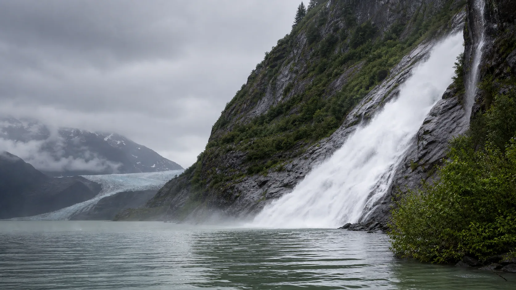
Juneau, Alaska
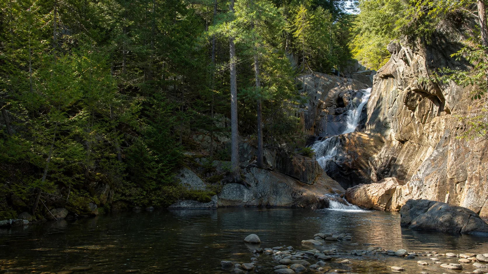
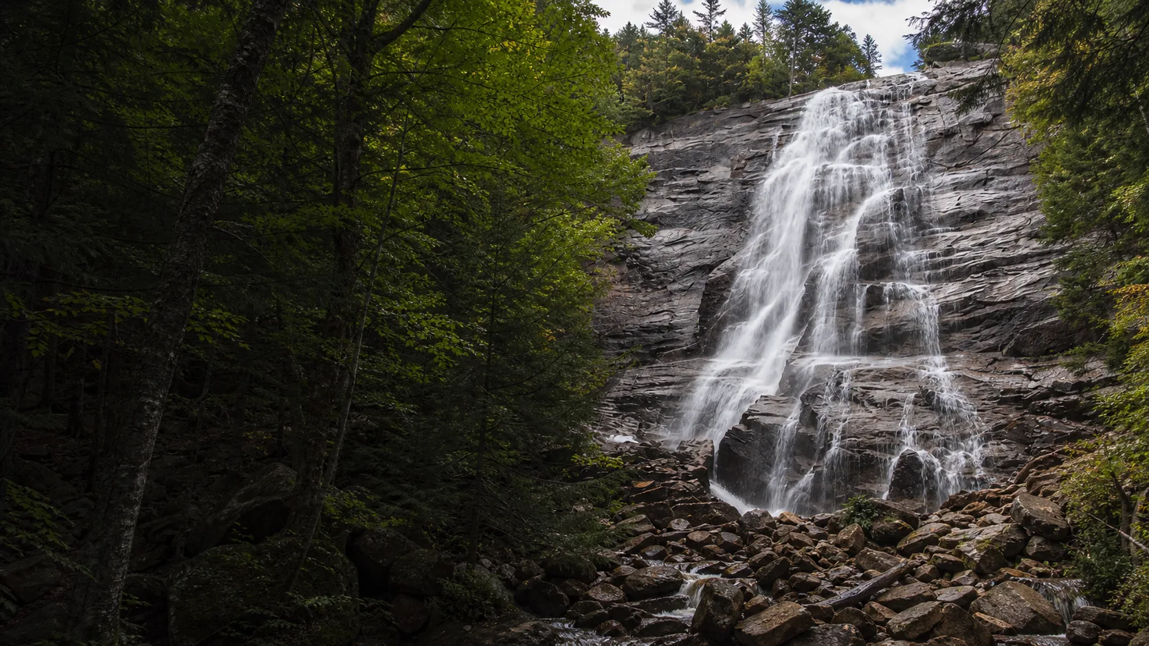
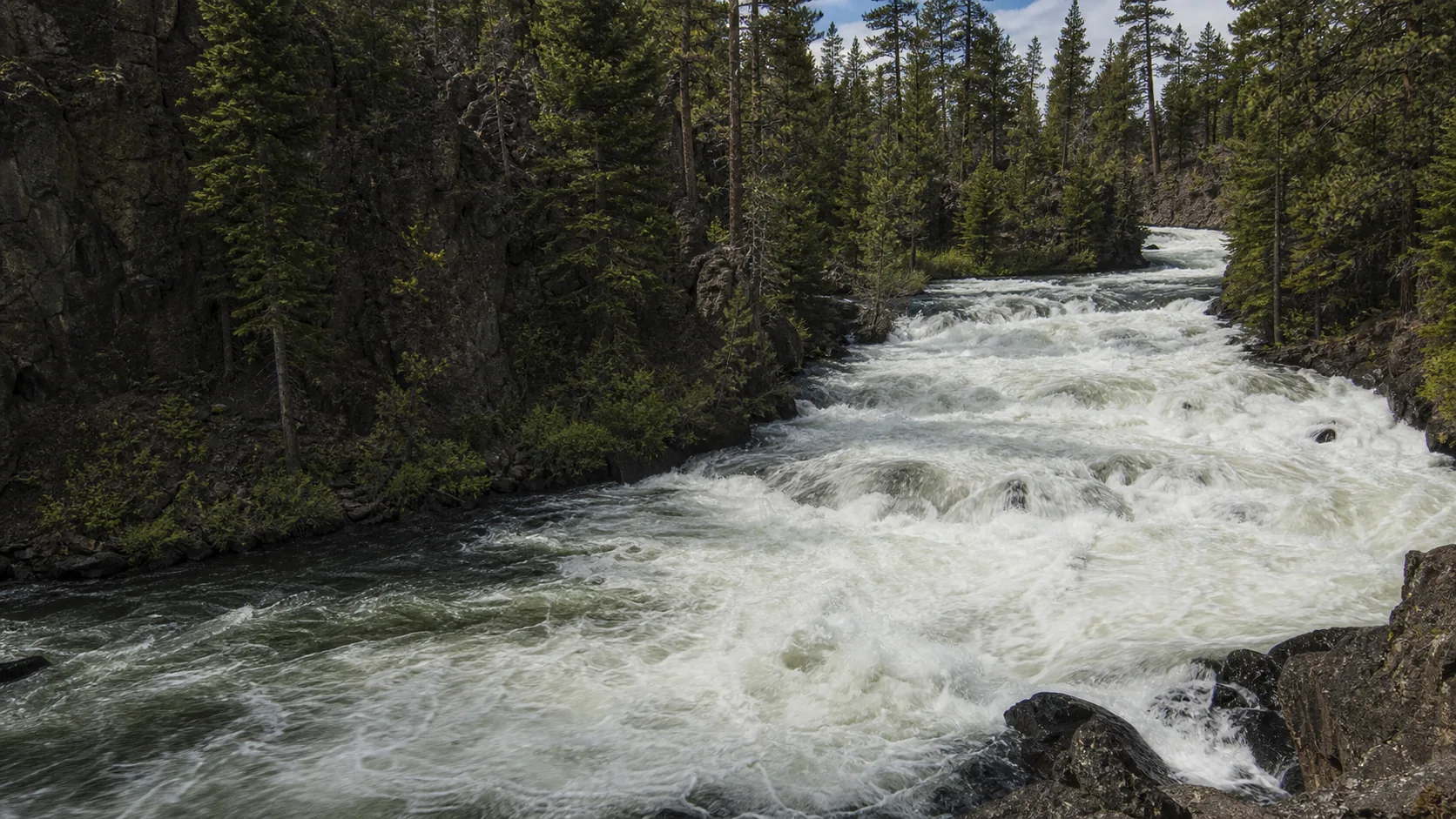
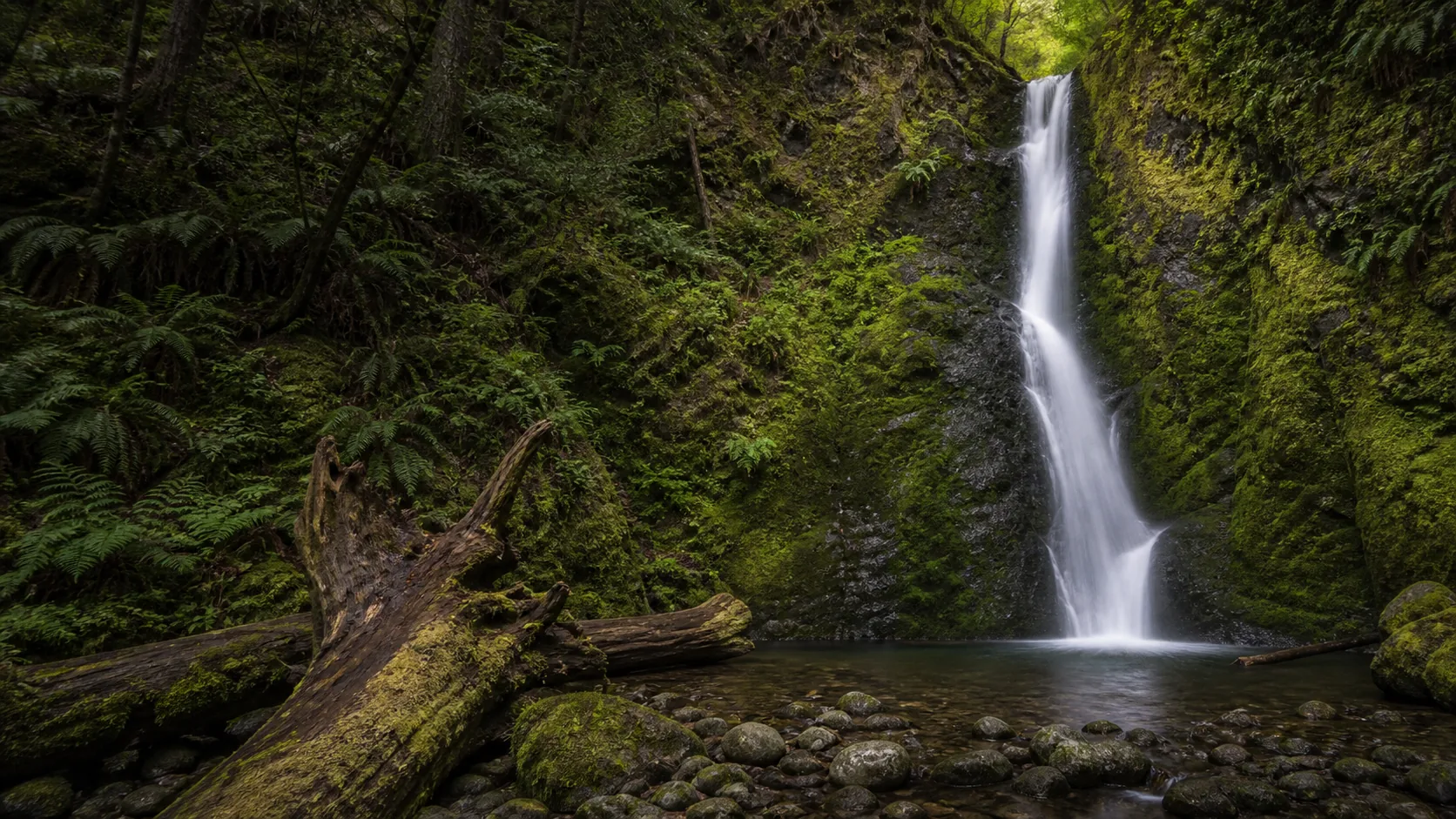
Nugget Falls
Plan Nugget Falls near Juneau, Alaska: 2 mi route details, parking and directions, best time to visit, safety notes, and 10 waterfall photos.
377 ft2 mi10 photos
Which waterfalls freeze, which trails close, which need microspikes.
A winter waterfall trip is really three different trips wearing the same name, and most of the frustration on this page comes from booking one and showing up to another. The first is the reliable ice column: cold-northern falls that lock into translucent vertical ice for a predictable window each year and read as a different waterfall entirely, not a worse one. The second is the trail-open-but-slick walk: the path is plowed or packed and the land manager says yes, but you need traction on your feet to get to the deck without falling. The third is the closed-for-the-season waterfall: a gate is down on the access road, a National Park unit is shuttered, or the rim trail is roped off because the gorge edge is iced. The planning question for any winter visit is which of those three you are walking into.
Category one is the easiest to plan for because the ice column tracks the climate. Minnehaha Falls in Minneapolis becomes a 53-foot hollow ice column from late January through mid-February in cold winters, with running water audible inside. Zapata Falls in the Sangre de Cristos builds a blue ice cone inside a Precambrian slot canyon from mid-January through mid-February that climbers rate at WI3. Arethusa Falls in the White Mountains forms a multi-pitch ice cathedral from late December through March (WI3-4). Munising, Scott, and Tannery Falls in Pictured Rocks country all freeze into alcove ice from late January through mid-February in normal winters. The honest caveat is that those windows assume the cold-snap sequence; in mild winters you get partial ice instead of a column, and the walk-behind-the-curtain access at Minnehaha and Munising is not safe.
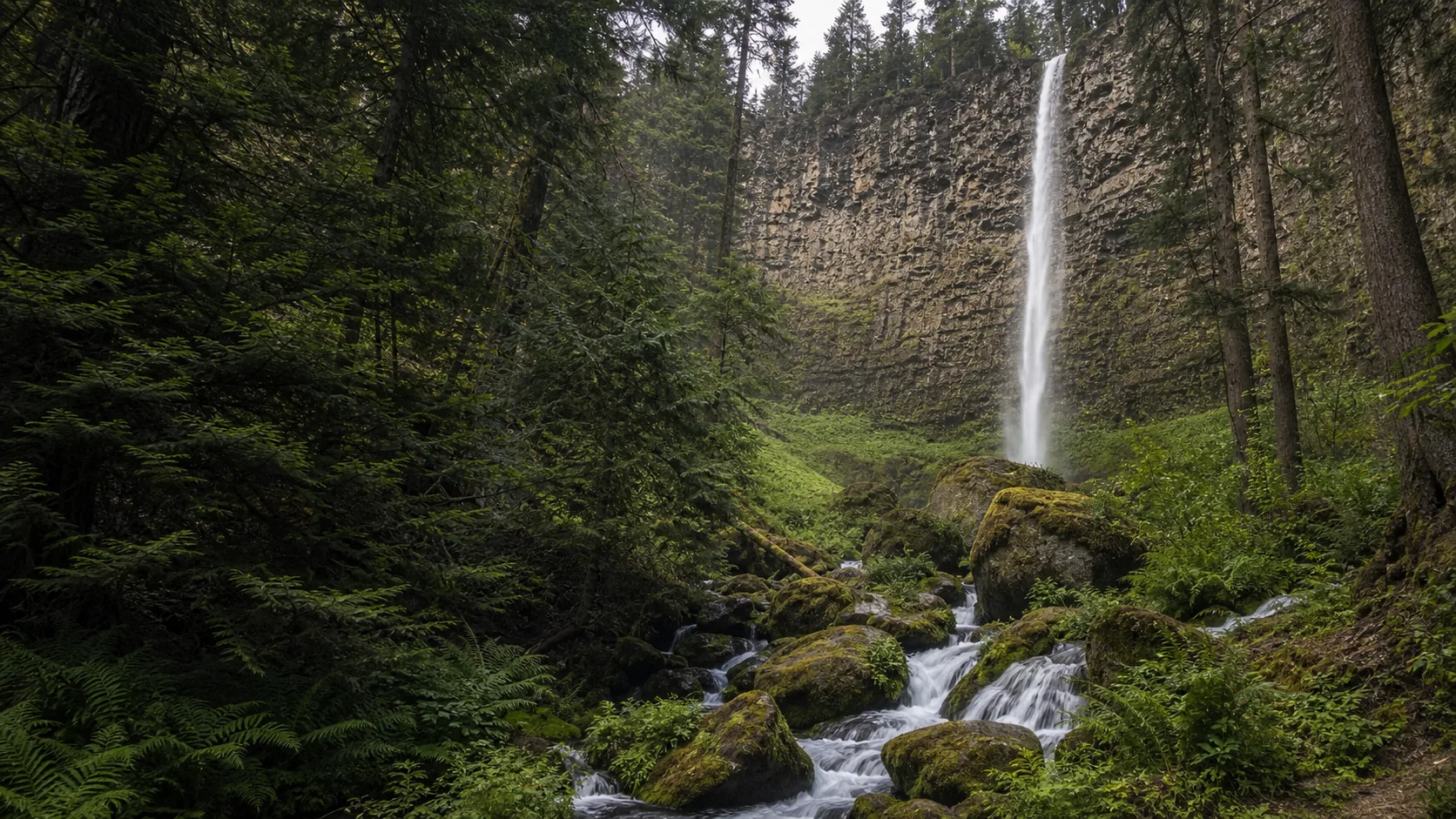
Category two is where most visitors get hurt. The trail is open, the parking lot is plowed, and the photo on Instagram does not warn you that the last 200 feet is glare ice. Diana's Baths in New Hampshire and Arethusa need microspikes on the approach. Toketee in Oregon stays day-use through winter but the 200 cedar stairs ice over after storms. Fish Creek Falls in Steamboat Springs needs snowshoes or microspikes past the lower boardwalk. Category three is non-negotiable: Moose Falls in Yellowstone is behind a road gate from early November to mid-May, the upper section of WA-542 above Glacier closes December through April so Nooksack becomes a ski or snowshoe approach, and Cummins Falls in Tennessee closes the gorge access in winter regardless of weather.
Reliable ice columns. Four falls on this list lock in for a predictable window most winters. Minnehaha (53 ft, late January through mid-February) is the most accessible by light rail. Zapata (30 ft, mid-January through mid-February) is a slot-canyon ice cone with a WI3 climbing rating. Arethusa (140 ft, late December through March) is the multi-pitch cathedral climb at WI3-4. Munising (50 ft) and the nearby Scott and Tannery falls on M-28 form alcove ice from late January through mid-February.
Gate-closed in winter. Moose Falls in Yellowstone is on the South Entrance Road, which closes to wheeled vehicles from early November to mid-May; deep-winter access is by oversnow coach or snowmobile only. Nooksack Falls sits above the WA-542 closure point above the town of Glacier, gated December through April; the falls is reachable by ski or snowshoe from the gate but the overlook fence ices over. Plaikni Pinnacles Road in Crater Lake closes mid-October to early July. Cummins Falls gorge access closes for winter regardless of weather.
Microspikes-required walks. Diana's Baths (NH, 1.2 mi flat but icy) and Arethusa (NH, 2.6 mi approach to the falls) need full traction December through March. Toketee (OR, 200 cedar stairs that ice after storms) and Fish Creek Falls (CO, 0.5 mi to lower boardwalk) need microspikes or snowshoes past the plowed section. The gear question for visitors is microspikes (chain-and-spike traction over hiking boots, about $50 to $80) rather than crampons or ice axes; those are for climbers approaching the curtain itself, not for the deck.
On this list, the most reliable ice columns are Minnehaha Falls in Minneapolis (53 ft hollow column late January through mid-February), Zapata Falls in Colorado (30 ft slot-canyon ice cone rated WI3 by climbers, mid-January through mid-February), Arethusa Falls in New Hampshire (140 ft multi-pitch ice cathedral rated WI3-4, late December through March), and the trio along M-28 east of Munising in Michigan: Munising Falls (50 ft alcove), Scott Falls (20 ft roadside curtain), and Tannery Falls (40 ft alcove), all late January through mid-February in cold winters. Fish Creek Falls in Steamboat Springs partially or fully encases its 280-foot face in ice from late December into February. Nooksack Falls in Washington forms rime and partial ice but does not lock into a clean column.
The second and third week of February is the universal answer for the reliable ice columns: Minnehaha, Zapata, the Pictured Rocks falls (Munising, Scott, Tannery), and the Steamboat-area falls (Fish Creek) all peak in that window after enough consecutive freeze days to build full columns rather than partial drapes. New Hampshire's White Mountain ice (Arethusa, Diana's Baths) has a longer window, late December through March, because the climate runs colder for longer. Avoid the first warm spell after a cold snap; that is when sections collapse and the climbers go home.
On most of this list, yes. Microspikes (chain-and-spike traction over hiking boots, about $50 to $80) are the right call for Diana's Baths, Arethusa Falls, Toketee Falls after a storm, Fish Creek Falls past the lower boardwalk, and the Pictured Rocks trails when the snow packs and freezes. Snowshoes are the right call when fresh snow is over about eight inches: Fish Creek Falls, Nooksack from the WA-542 gate, and the Pictured Rocks approach in deep weeks. Crampons and ice axes are climbing gear, not approach gear; they are not what you bring to the deck. The urban falls (Minnehaha rim, St. Anthony) are paved and plowed and do not need traction for the overlook, only for the WPA stair descent into the glen.
It depends on the land manager and the road. Most state parks and city parks (Minnehaha, Diana's Baths, the Munising-area falls) keep the trail open year-round. National Forest roads vary: WA-542 above the town of Glacier closes to vehicles December through April, which puts Nooksack Falls on a ski or snowshoe approach from the gate. National Park entrances close hard: Yellowstone's South Entrance Road is closed to wheeled vehicles from early November to mid-May, so Moose Falls is reachable only by guided oversnow coach or snowmobile in deep winter. Plaikni Falls in Crater Lake is gated mid-October to early July. Cummins Falls in Tennessee closes the gorge access in winter as a permitted-entry safety rule, regardless of weather. The per-fall guide names the gate and the months.
Yes, on a short list of waterfalls that build climbable ice. The textbook destinations on this site are Zapata Falls in Colorado (a tight slot canyon with a 30-foot ice cone, rated WI3, approached on 0.8 mi of trail to the slot mouth), Arethusa Falls in New Hampshire (a 140-foot face that forms a multi-pitch WI3-4 cathedral late December through March), and Fish Creek Falls in Steamboat Springs (a multi-tier 280-foot face that draws Colorado ice climbers from late December into February). All three require ice axes, rigid-frame crampons, screws, a partner, and the judgment to back off when the temperature swings warm. Ice climbing on national forest land is regulated as a recreational activity rather than a permitted one; the land manager does not gatekeep but does close approach trails when conditions warrant.
Cold shock is the immediate physiological response to sudden immersion in water under about 60 F: an involuntary gasp reflex, hyperventilation, and a rapid loss of fine-motor control in the hands. It kills more people each year than hypothermia. At a winter waterfall the relevant risk is not the curtain itself; it is the plunge pool under thin shelf ice, the slick edge of the lip, and the iced rocks at the photo position. A fall through shelf ice into a 35 F pool gives a swimmer roughly one minute of useful arm function before grip goes. The practical rules: stay on the marked overlook, never cross a frozen plunge pool to get closer to the column, and if you are climbing, carry a partner and a throw line.
Heavy overcast is the universal winning light because ice is reflective and direct sun blows the highlights. Late morning on an overcast day, with the curtain partly translucent and the back wall in even shade, is the working window for most of the list. For Minnehaha and the Pictured Rocks alcoves, the standard frame is from the lower deck looking up through the column, which catches the trapped-air-blue inside the ice. For Zapata, the working frame is from inside the slot looking out toward the ice cone, with the canyon walls compressing the scene. For Arethusa, the wide frame from the trail comes out best at the second week of February when the cathedral is fully built. A polarizing filter cuts wet-rock glare on the surrounding stone but turns the ice itself slightly flat; pull it off for the close-up of the column.
The cold-northern falls hold up best in mild years. Arethusa Falls in the White Mountains still forms climbable ice in warm seasons because the elevation and the gorge shading buffer the air temperature; the WI3-4 cathedral has formed in every recent winter. Fish Creek Falls in Steamboat Springs is reliable because Colorado mountain climate stays cold even in El Nino years. The vulnerable falls are the lower-elevation ones: Minnehaha in mild Twin Cities winters builds a partial column rather than a full one (the walk-behind south stairs are not safe in those years), Munising and the M-28 trio depend on the Lake Superior microclimate holding cold, and the Tennessee plateau falls (Cane Creek) rarely lock in even partial ice. The honest answer is that the only place to verify a year is the gauge plus a recent trip report; do not drive eight hours on last year's photo.
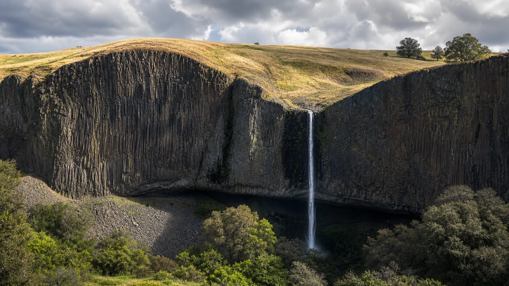
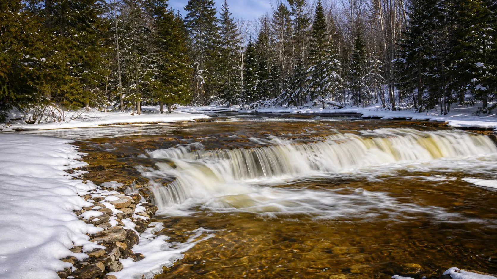
Plan Nugget Falls near Juneau, Alaska: 2 mi route details, parking and directions, best time to visit, safety notes, and 10 waterfall photos.
Plan Hemmed-In-Hollow Falls near Compton, Arkansas: 5.5 mi route details, parking and directions, best time to visit, safety notes, and 4 waterfall photos.
Plan Darwin Falls in Inyo County, California: 2 mi route details, parking and directions, best time to visit, safety notes, and 8 waterfall photos.
Plan Mossbrae Falls in Siskiyou County, California with waterfall photos, map context, parking checks, directions, access notes, and best-time guidance.
Plan Phantom Falls near Oroville, California: 3 mi route details, parking and directions, best time to visit, safety notes, and 4 waterfall photos.
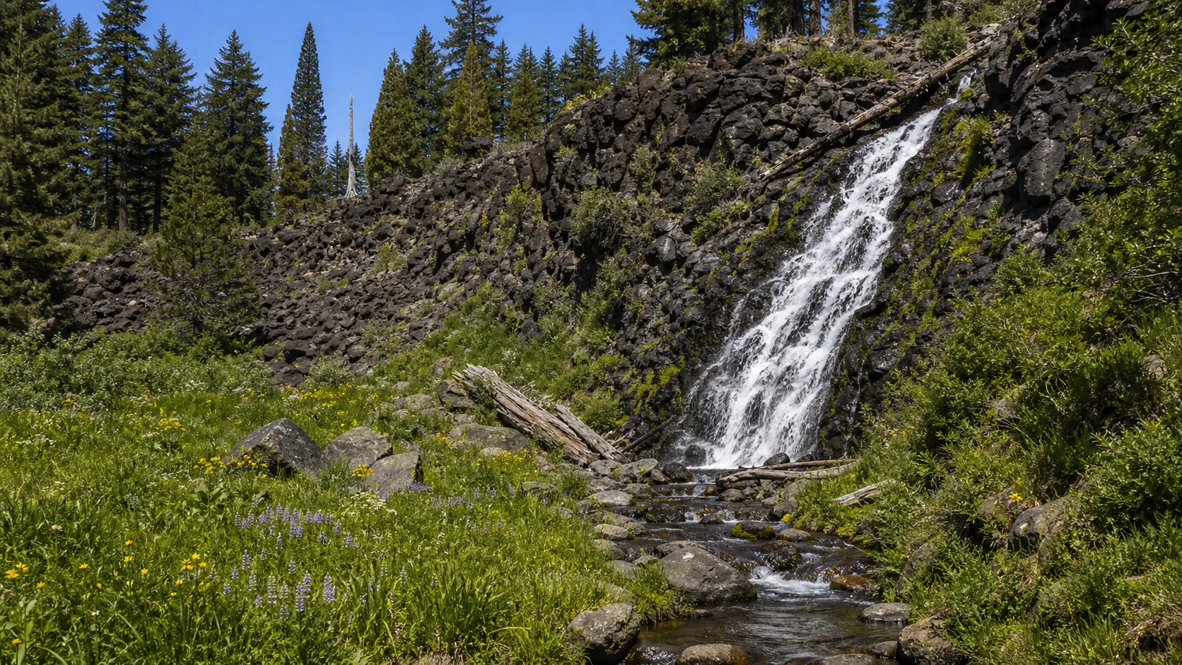
Plan Potem Falls in Shasta County, California: 0.4 mi route details, parking and directions, best time to visit, safety notes, and 4 waterfall photos.
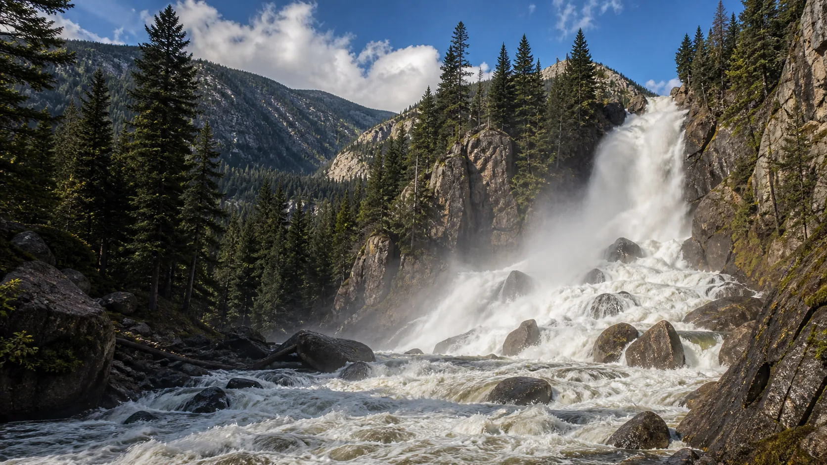
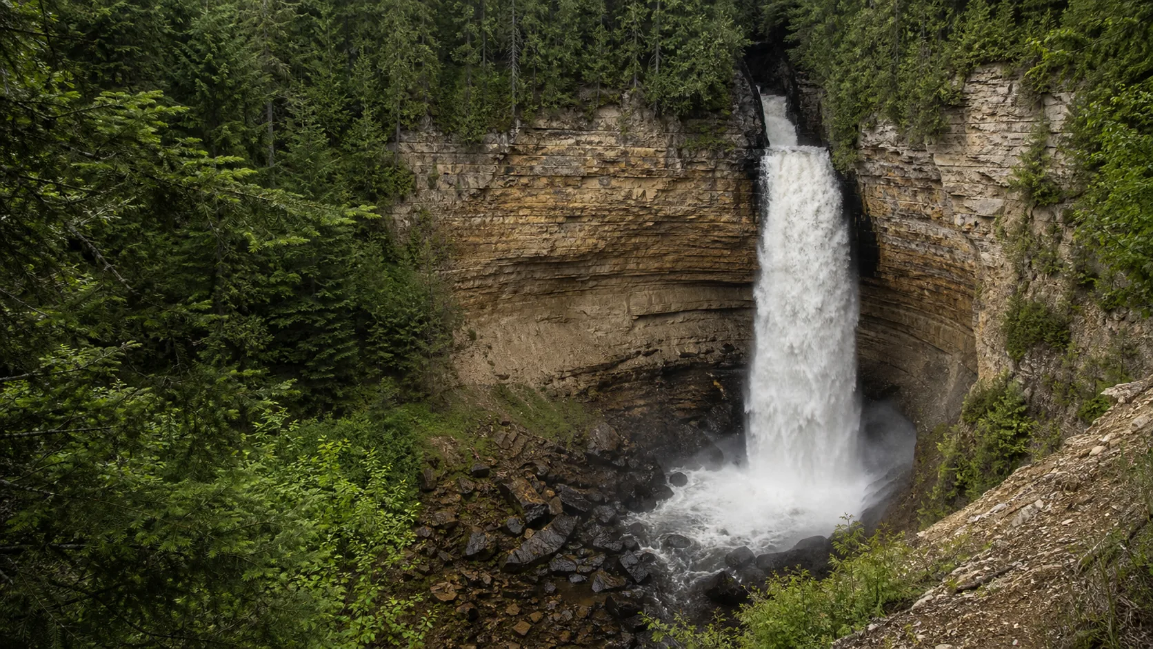
Plan Fish Creek Falls in Routt County, Colorado: 0.5 mi route details, parking and directions, best time to visit, safety notes, and 8 waterfall photos.
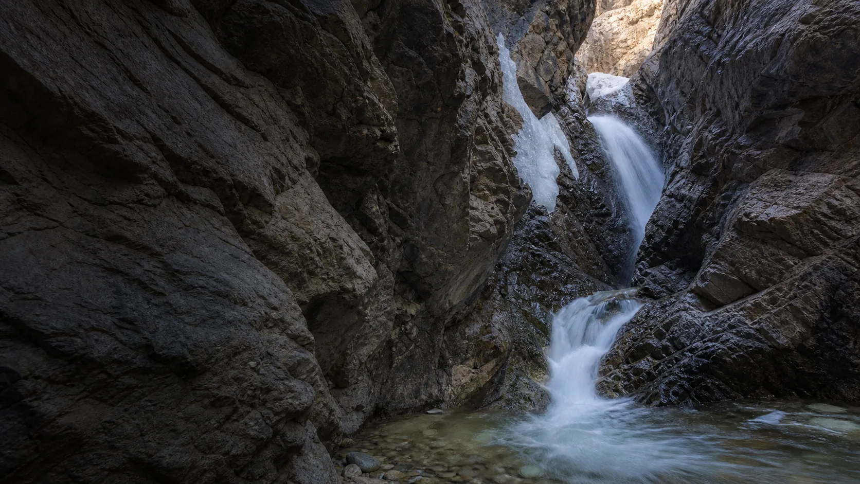
Plan Zapata Falls in Alamosa County, Colorado: 0.8 mi route details, parking and directions, best time to visit, safety notes, and 8 waterfall photos.
Plan Wadsworth Falls State Park near Middletown, Connecticut: 0.6 mi route details, parking and directions, best time to visit, safety notes, and 8 waterfall photos.
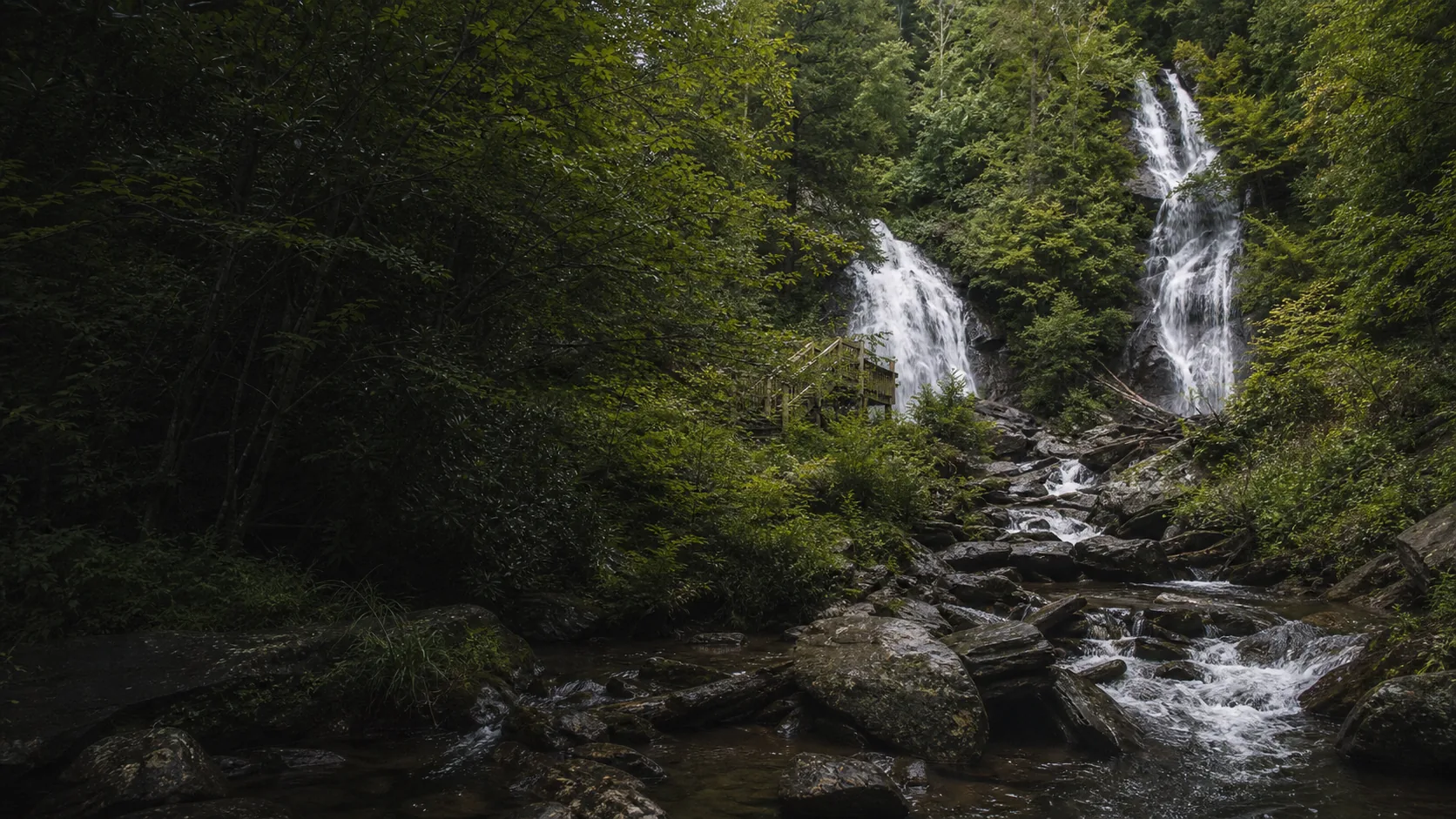
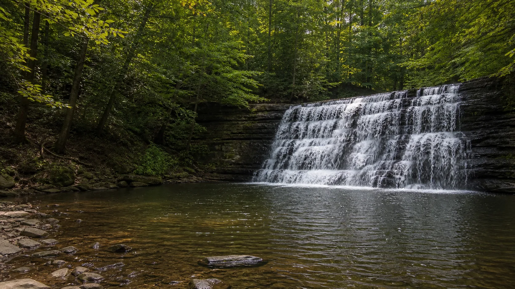
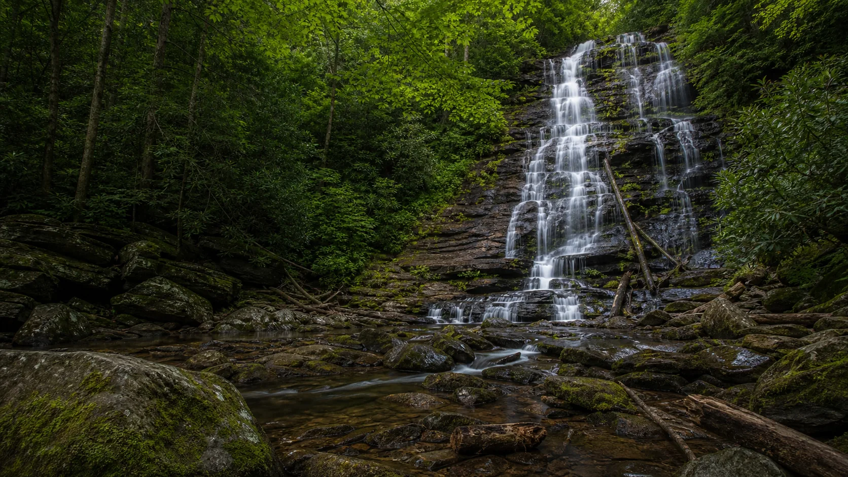
Plan Anna Ruby Falls in White County, Georgia: 0.8 mi route details, parking and directions, best time to visit, safety notes, and 8 waterfall photos.
Plan Blue Hole Falls near Helen, Georgia: 1 mi route details, parking and directions, best time to visit, safety notes, and 4 waterfall photos.
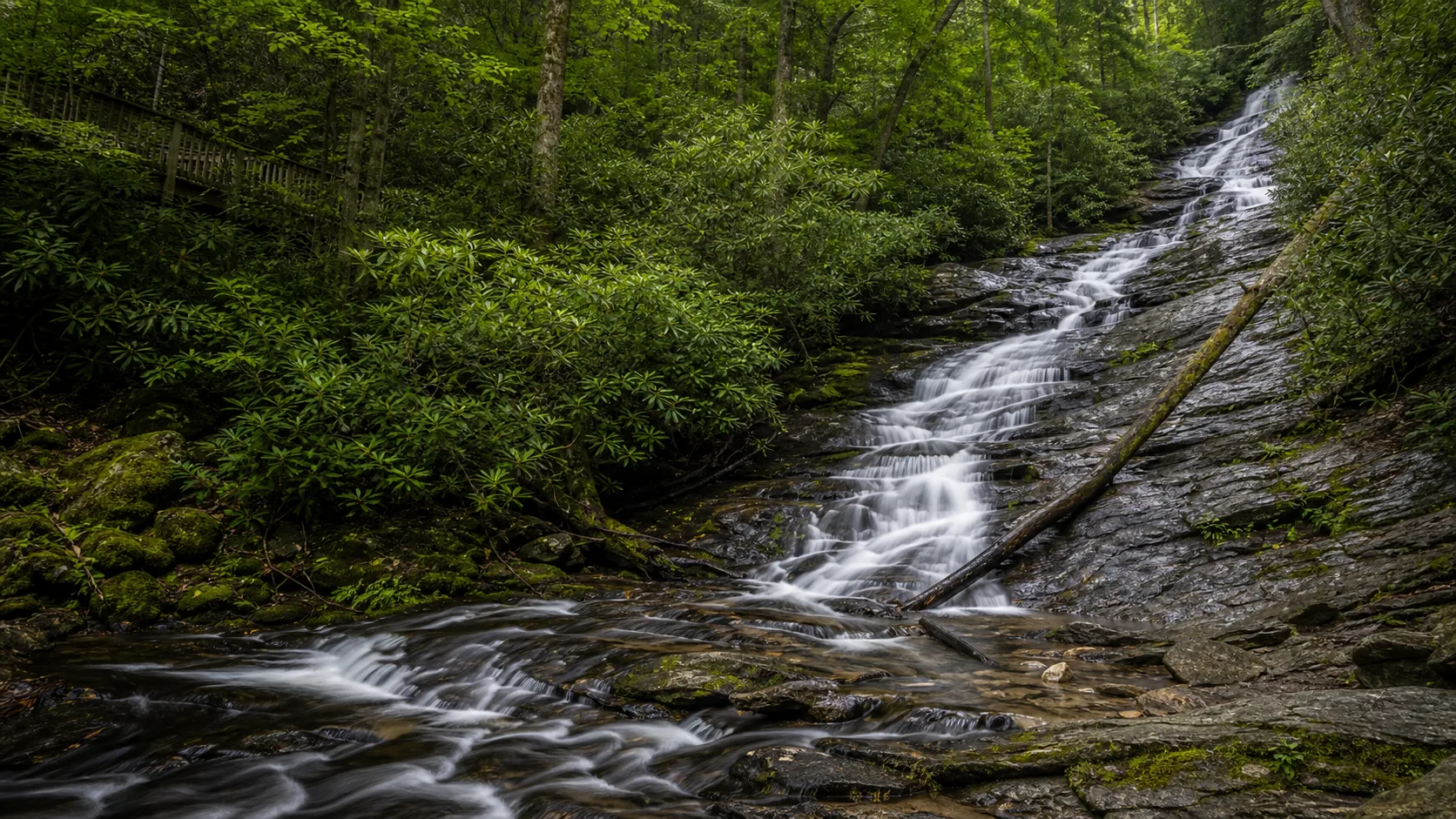
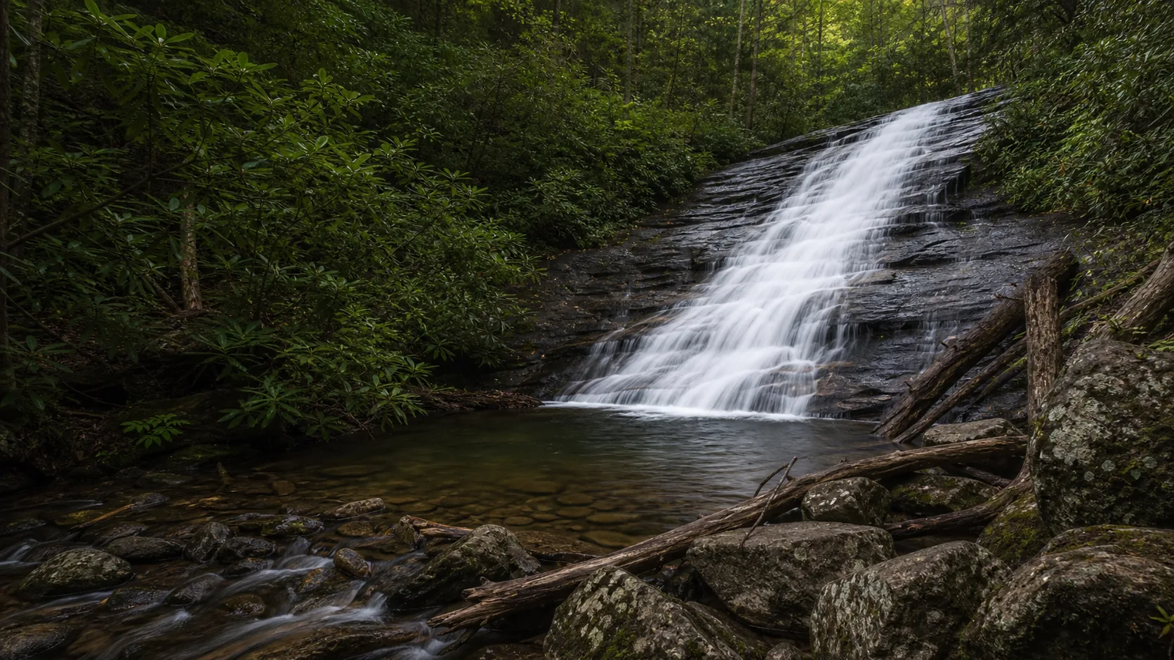
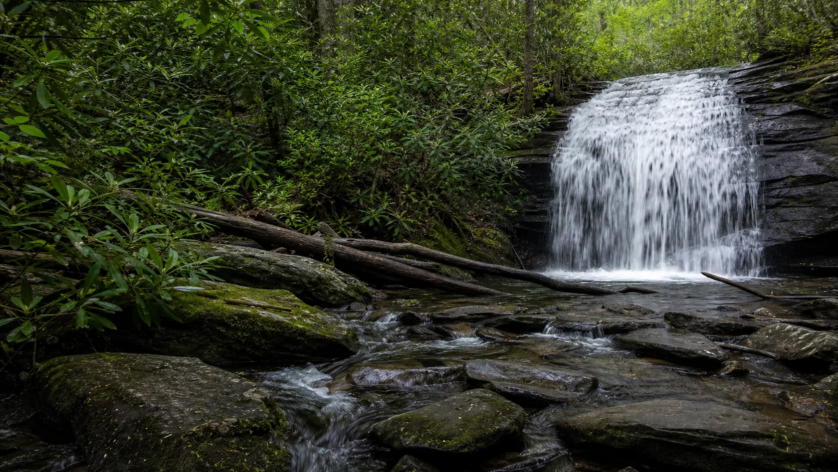
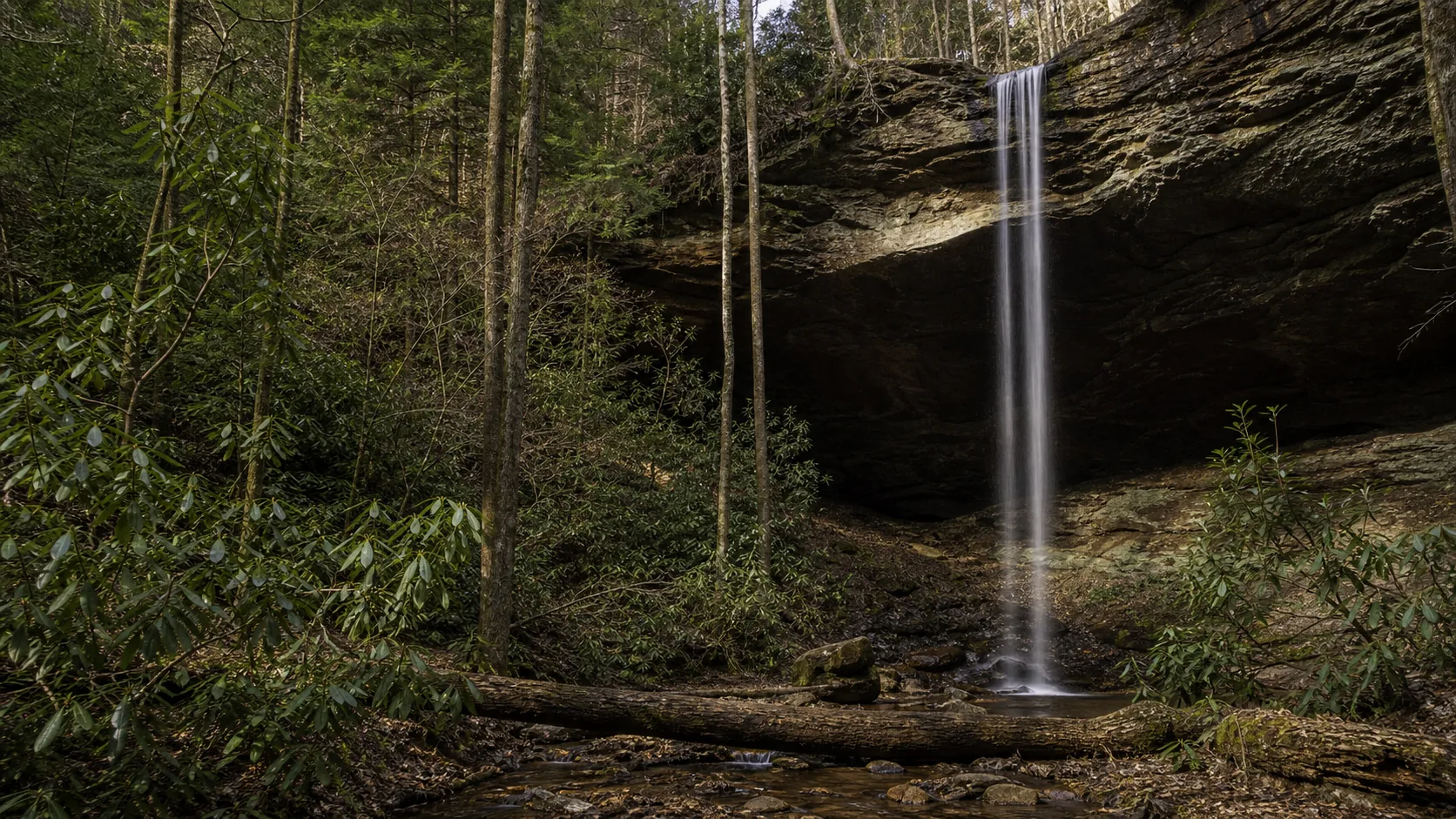
Plan DeSoto Falls in Lumpkin County, Georgia: 2.2 mi route details, parking and directions, best time to visit, safety notes, and 8 waterfall photos.
Plan Dukes Creek Falls near Helen, Georgia: 1 mi route details, parking and directions, best time to visit, safety notes, and 8 waterfall photos.
Plan Helton Creek Falls in Union County, Georgia: 0.6 mi route details, parking and directions, best time to visit, safety notes, and 4 waterfall photos.
Plan Long Creek Falls near Blue Ridge, Georgia: 1.9 mi route details, parking and directions, best time to visit, safety notes, and 4 waterfall photos.
Plan Yahoo Falls in McCreary County, Kentucky: 1 mi route details, parking and directions, best time to visit, safety notes, and 4 waterfall photos.
Plan Smalls Falls near Township E, Maine: 0.5 mi route details, parking and directions, best time to visit, safety notes, and 4 waterfall photos.
Plan Spirit Falls near Royalston, Massachusetts: 0.6 mi route details, parking and directions, best time to visit, safety notes, and 4 waterfall photos.
Plan Miners Falls near Munising Township, Michigan: 1.2 mi route details, parking and directions, best time to visit, safety notes, and 8 waterfall photos.
Plan Munising Falls near Munising, Michigan: 0.4 mi route details, parking and directions, best time to visit, safety notes, and 8 waterfall photos.
Plan Ocqueoc Falls near Ocqueoc Township, Michigan: 0.3 mi route details, parking and directions, best time to visit, safety notes, and 4 waterfall photos.
Plan Scott Falls near Au Train Township, Michigan: 0.1 mi route details, parking and directions, best time to visit, safety notes, and 4 waterfall photos.
Plan Tannery Falls near Munising, Michigan: 0.4 mi route details, parking and directions, best time to visit, safety notes, and 8 waterfall photos.
Plan Hidden Falls near Saint Paul, Minnesota: 1.4 mi route details, parking and directions, best time to visit, safety notes, and 7 waterfall photos.
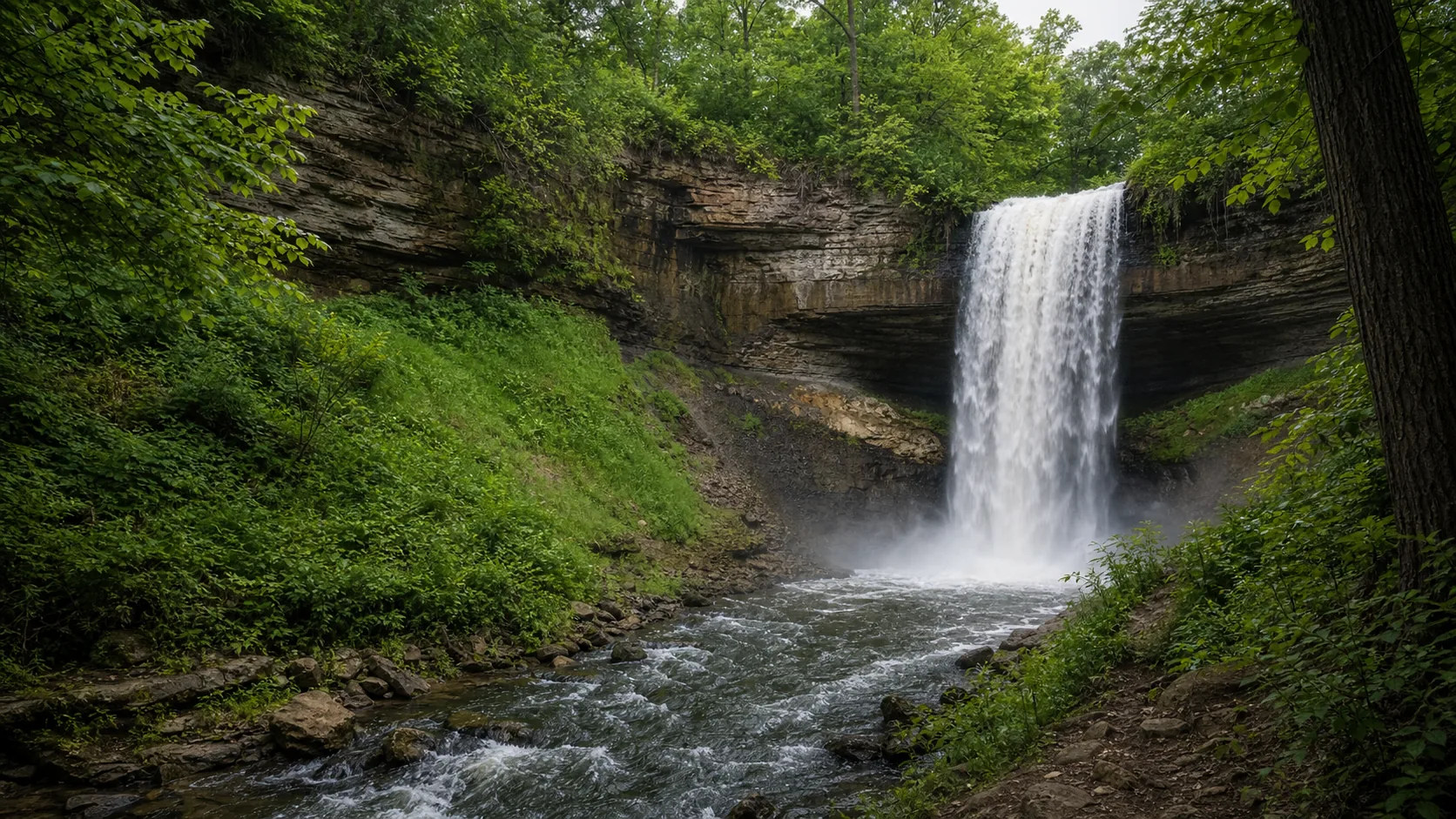
Plan Minnehaha Falls near Minneapolis, Minnesota: 0.9 mi route details, parking and directions, best time to visit, safety notes, and 8 waterfall photos.
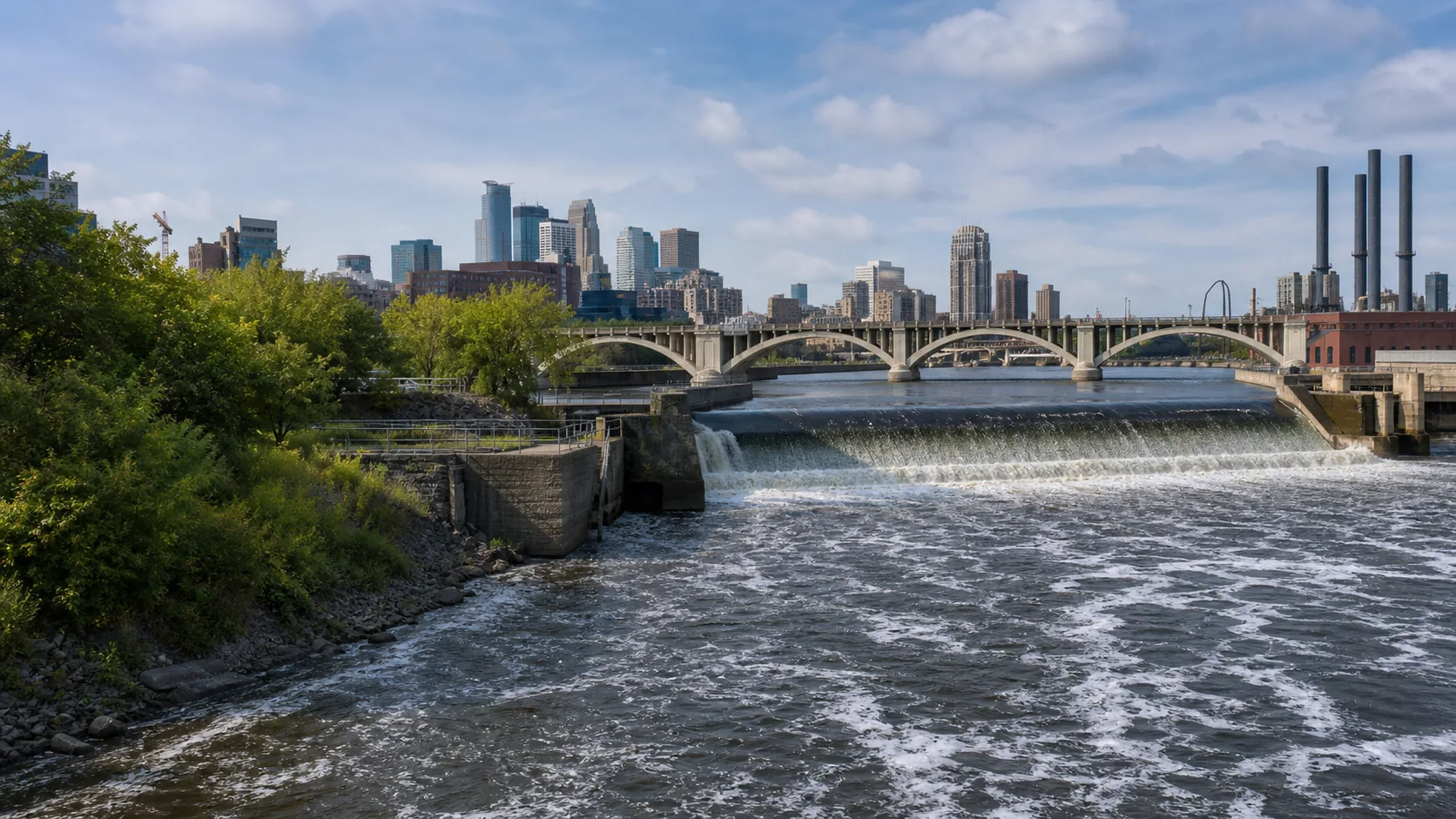
Plan St. Anthony Falls near Minneapolis, Minnesota: 1.8 mi route details, parking and directions, best time to visit, safety notes, and 7 waterfall photos.
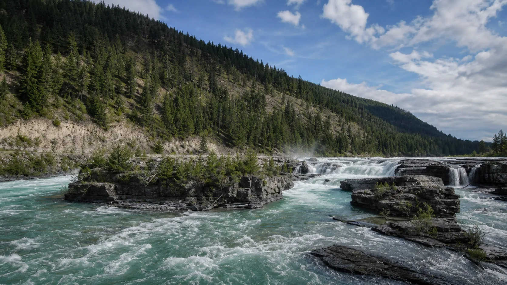
Plan Kootenai Falls in Lincoln County, Montana: 0.9 mi route details, parking and directions, best time to visit, safety notes, and 8 waterfall photos.
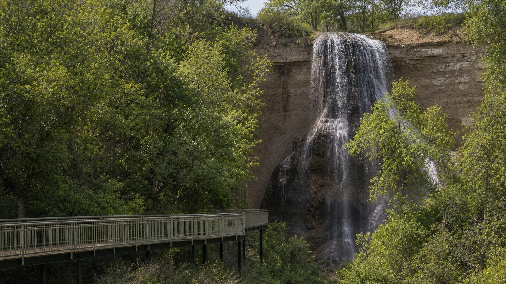
Plan Smith Falls in Cherry County, Nebraska: 0.8 mi route details, parking and directions, best time to visit, safety notes, and 8 waterfall photos.
Plan Arethusa Falls near Harts Location, New Hampshire: 2.6 mi route details, parking and directions, best time to visit, safety notes, and 8 waterfall photos.
Plan Diana's Baths near Bartlett, New Hampshire: 1.2 mi route details, parking and directions, best time to visit, safety notes, and 8 waterfall photos.
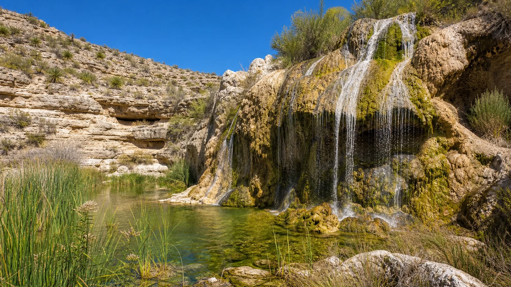
Plan Sitting Bull Falls near Carlsbad, New Mexico: 0.2 mi route details, parking and directions, best time to visit, safety notes, and 8 waterfall photos.
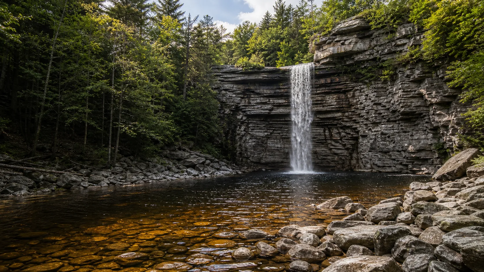
Plan Awosting Falls near Kerhonkson, New York: 0.5 mi route details, parking and directions, best time to visit, safety notes, and 8 waterfall photos.
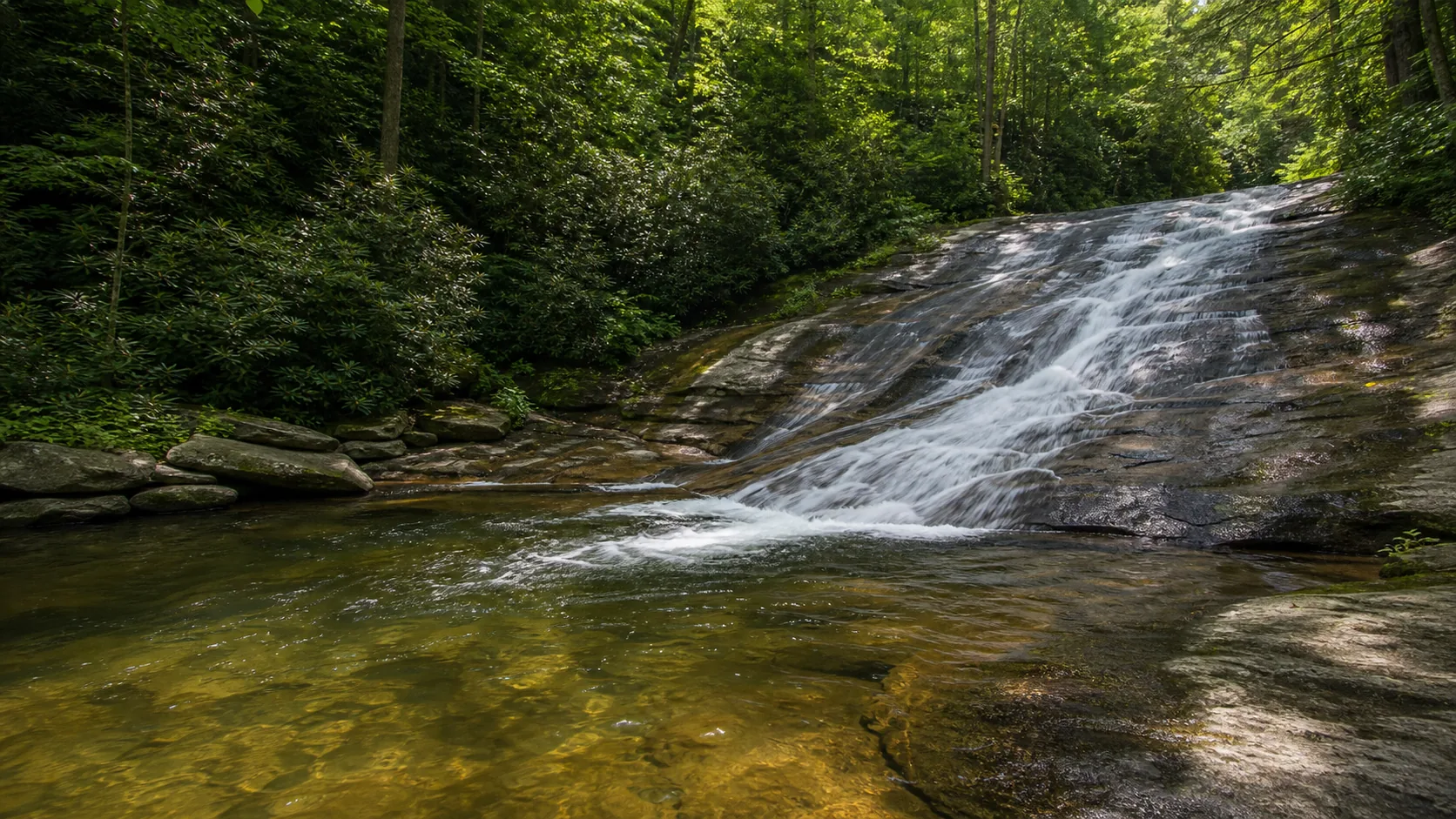
Plan Courthouse Falls in Transylvania County, North Carolina: 0.8 mi route details, parking and directions, best time to visit, safety notes, and 4 waterfall photos.
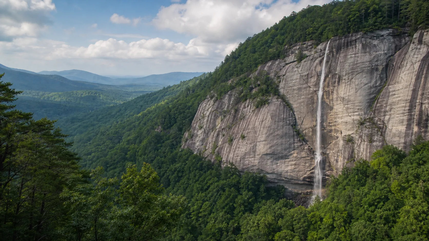
Plan Hickory Nut Falls near Chimney Rock, North Carolina: 1.4 mi route details, parking and directions, best time to visit, safety notes, and 4 waterfall photos.
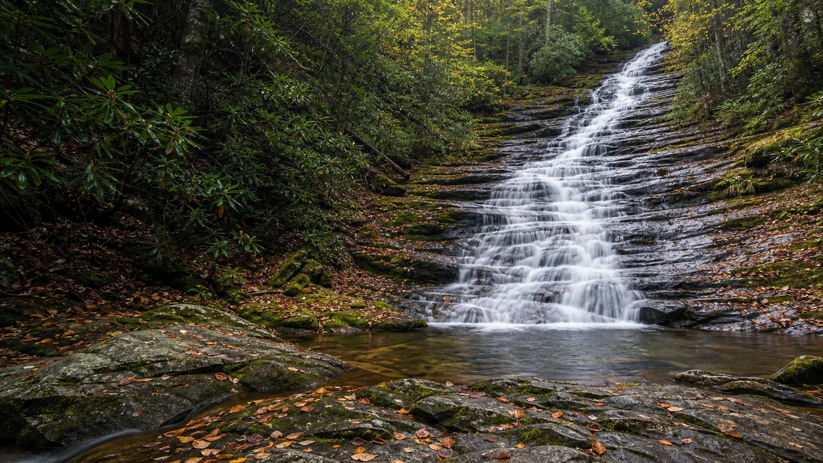
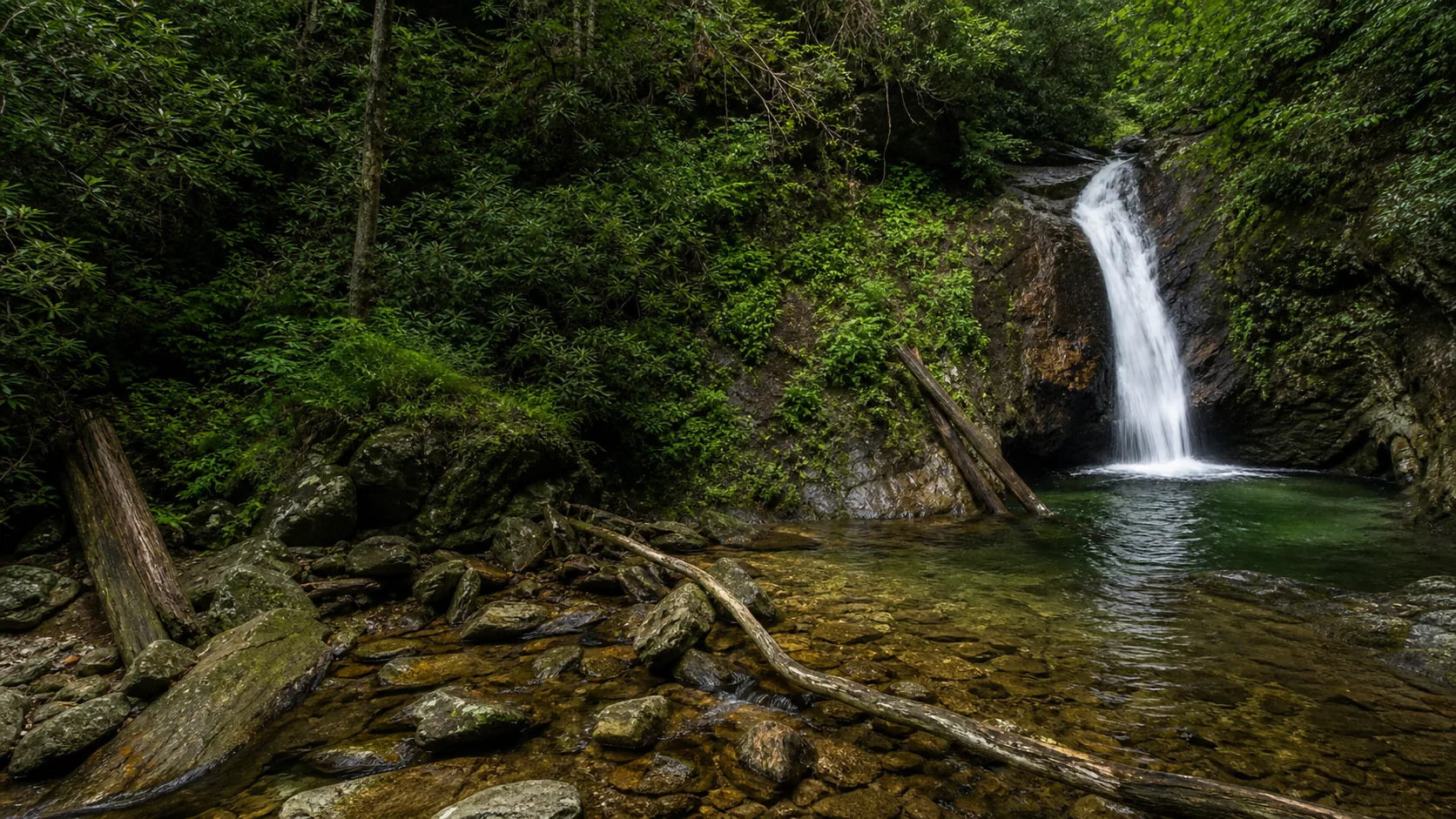
Plan Roaring Fork Falls in Yancey County, North Carolina: 0.6 mi route details, parking and directions, best time to visit, safety notes, and 8 waterfall photos.
Plan Sliding Rock in Transylvania County, North Carolina: 0.1 mi route details, parking and directions, best time to visit, safety notes, and 8 waterfall photos.
Plan Benham Falls near Sunriver, Oregon: 1.4 mi route details, parking and directions, best time to visit, safety notes, and 8 waterfall photos.
Plan Drift Creek Falls in Lincoln County, Oregon: 3 mi route details, parking and directions, best time to visit, safety notes, and 4 waterfall photos.
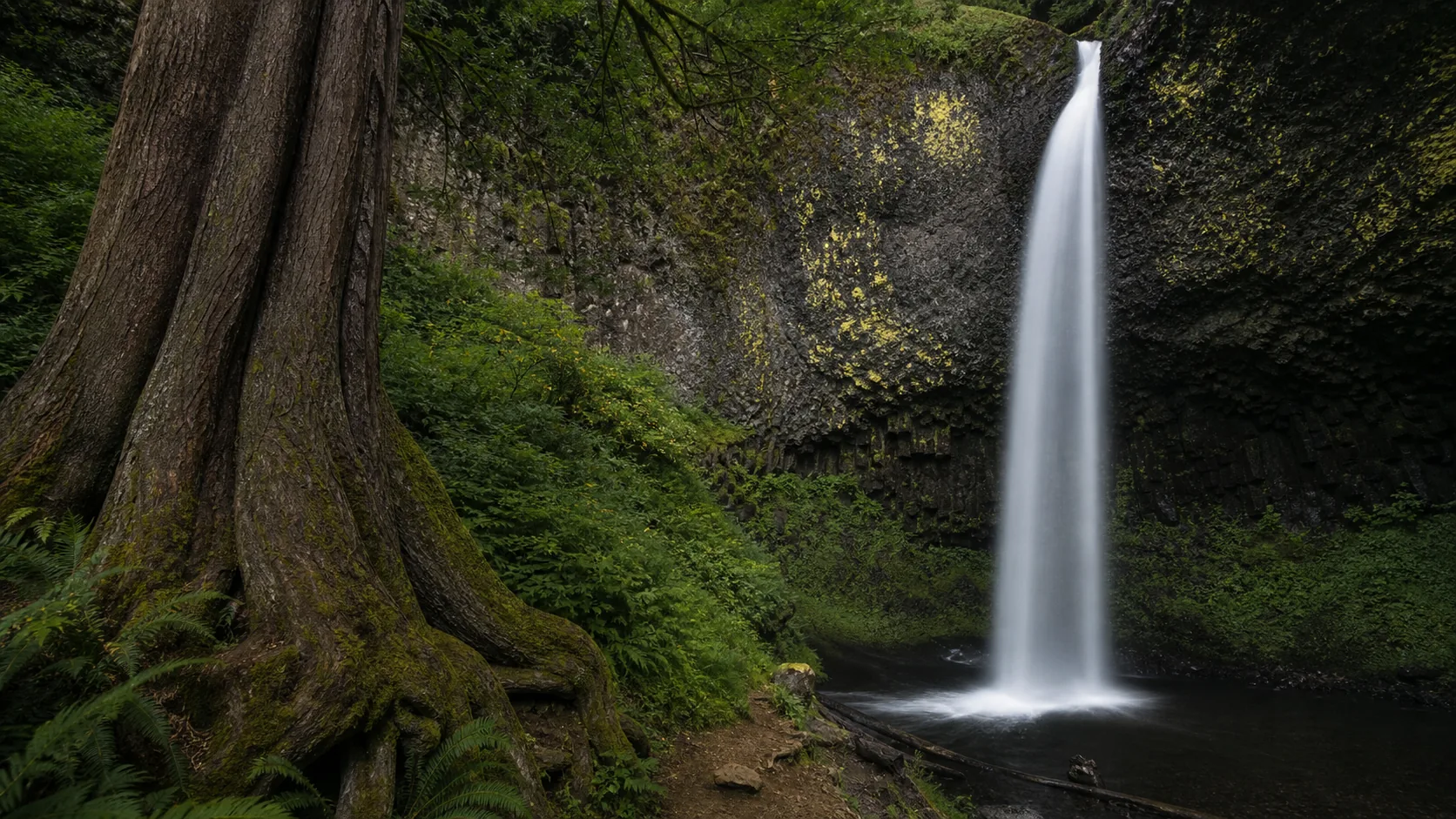
Plan Latourell Falls in Multnomah County, Oregon: 2.4 mi route details, parking and directions, best time to visit, safety notes, and 8 waterfall photos.
Plan Plaikni Falls near Crater Lake National Park, Oregon: 2 mi route details, parking and directions, best time to visit, safety notes, and 8 waterfall photos.
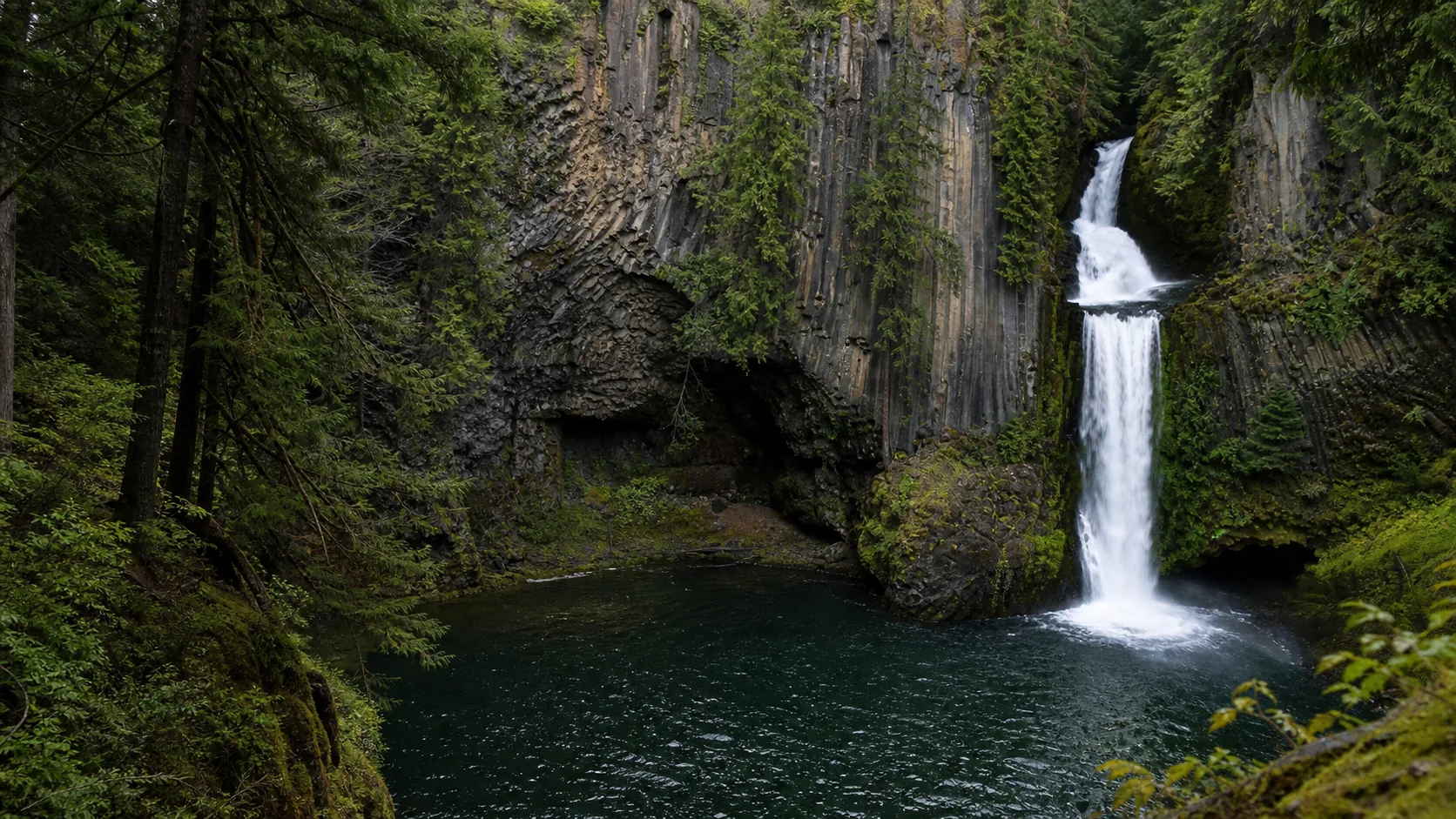
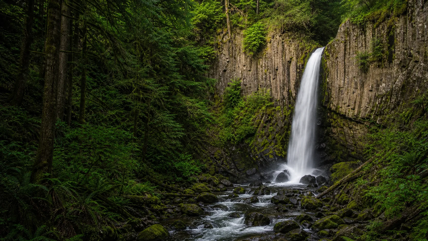
Plan Toketee Falls near Idleyld Park, Oregon: 0.8 mi route details, parking and directions, best time to visit, safety notes, and 8 waterfall photos.
Plan Watson Falls in Douglas County, Oregon: 0.6 mi route details, parking and directions, best time to visit, safety notes, and 8 waterfall photos.
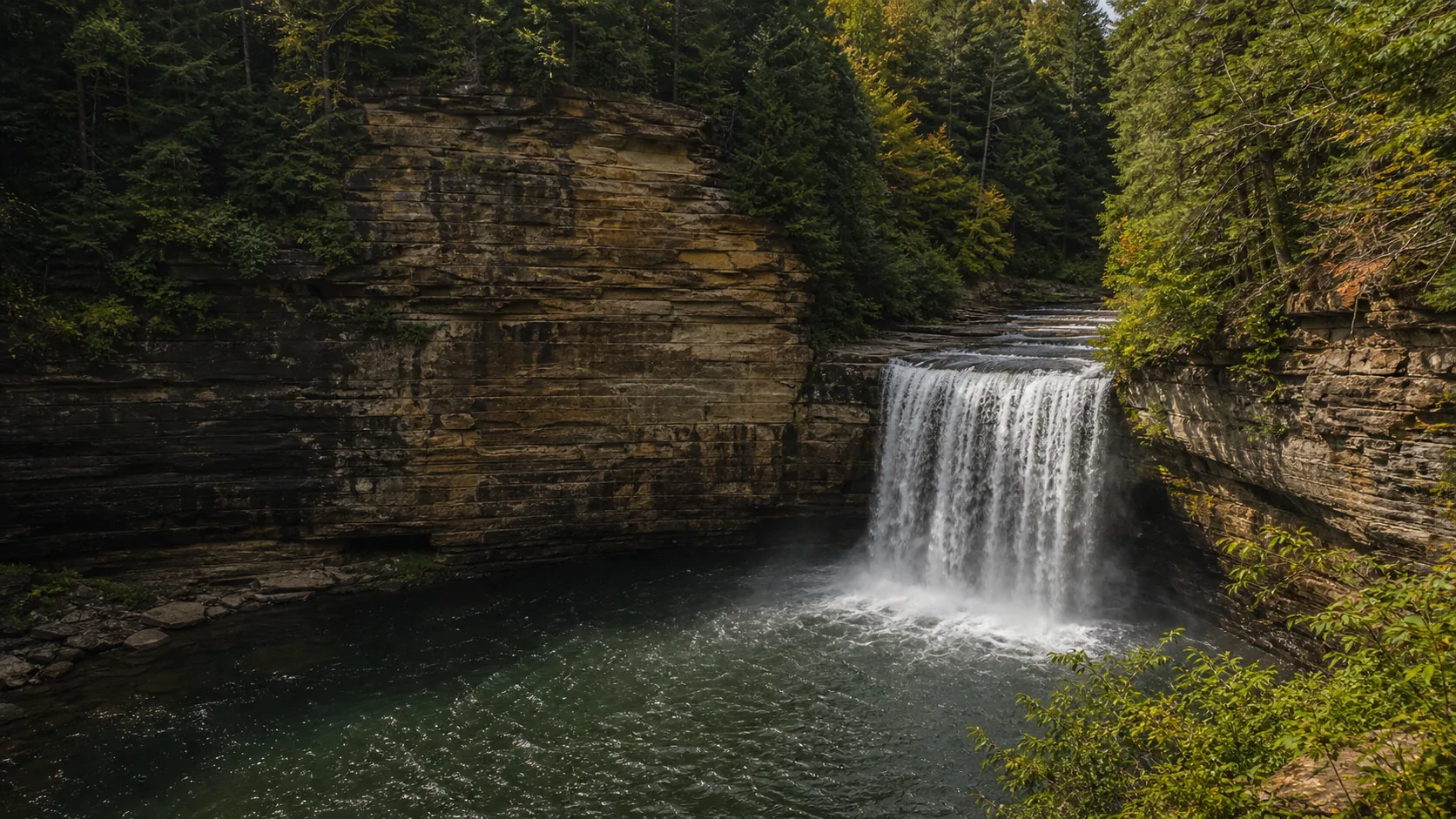
Plan White River Falls near Tygh Valley, Oregon: 0.9 mi route details, parking and directions, best time to visit, safety notes, and 8 waterfall photos.
Plan Dingmans Falls near Dingmans Ferry, Pennsylvania: 0.4 mi route details, parking and directions, best time to visit, safety notes, and 8 waterfall photos.
Plan Issaqueena Falls near Walhalla, South Carolina: 0.3 mi route details, parking and directions, best time to visit, safety notes, and 4 waterfall photos.
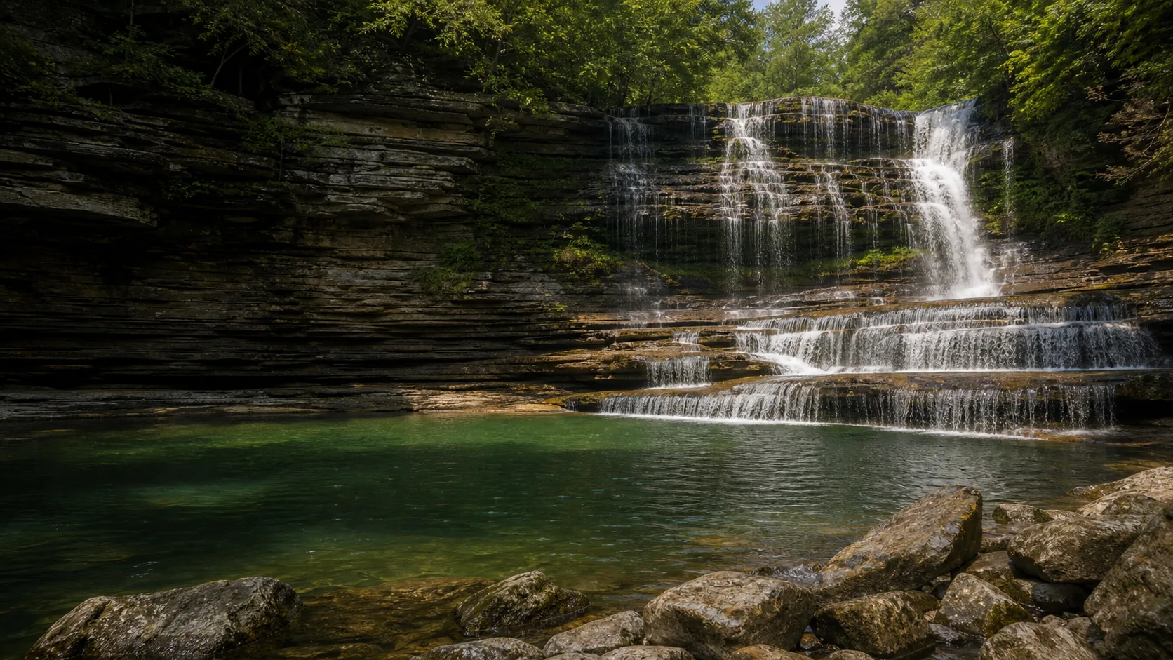
Plan Cane Creek Falls near Spencer, Tennessee: 0.4 mi route details, parking and directions, best time to visit, safety notes, and 4 waterfall photos.
Plan Cummins Falls in Jackson County, Tennessee: 1.5 mi route details, parking and directions, best time to visit, safety notes, and 8 waterfall photos.
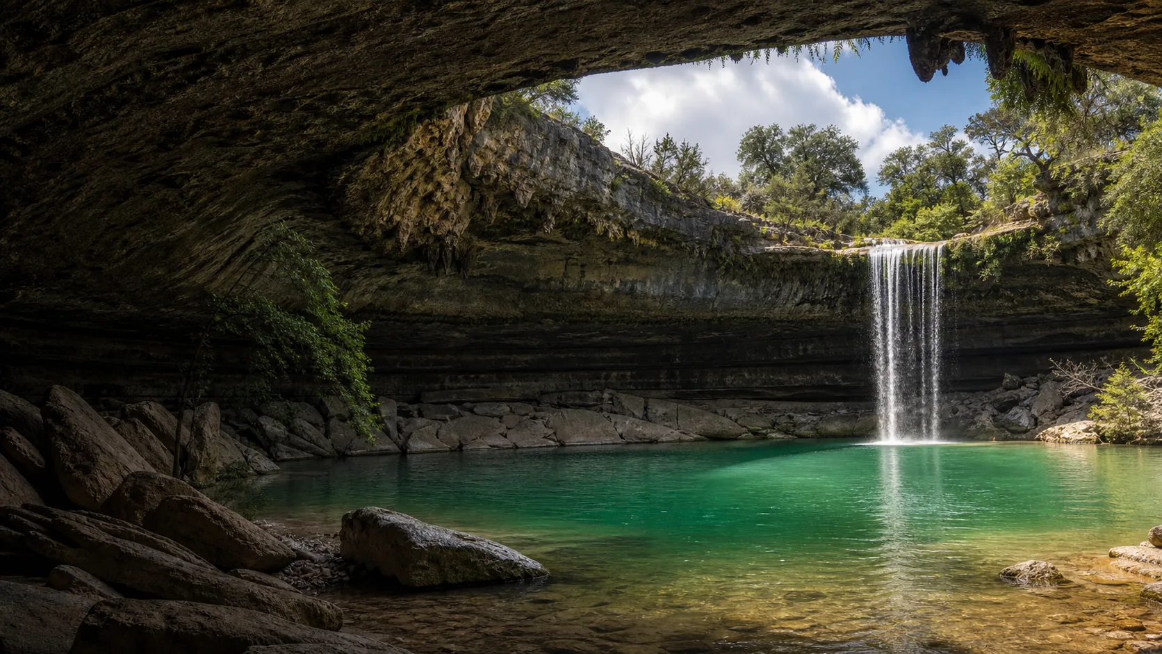
Plan Hamilton Pool Preserve in Travis County, Texas: 0.5 mi route details, parking and directions, best time to visit, safety notes, and 8 waterfall photos.
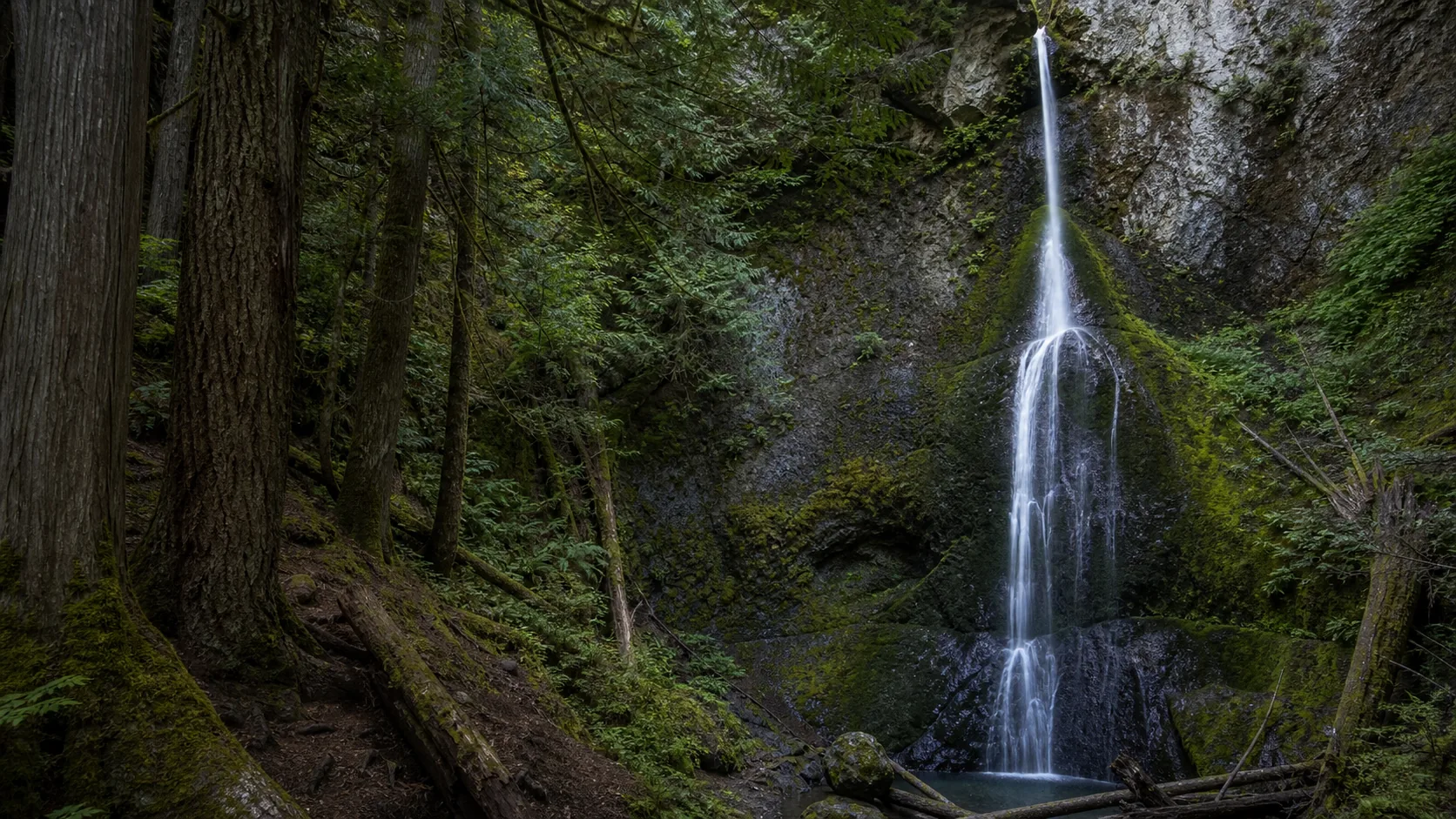
Plan Madison Creek Falls near Port Angeles, Washington: 0.2 mi route details, parking and directions, best time to visit, safety notes, and 4 waterfall photos.
Plan Marymere Falls in Clallam County, Washington: 1.8 mi route details, parking and directions, best time to visit, safety notes, and 8 waterfall photos.
Plan Nooksack Falls near Glacier, Washington: 0.1 mi route details, parking and directions, best time to visit, safety notes, and 8 waterfall photos.
Plan Moose Falls in Teton County, Wyoming: 0.1 mi route details, parking and directions, best time to visit, safety notes, and 8 waterfall photos.