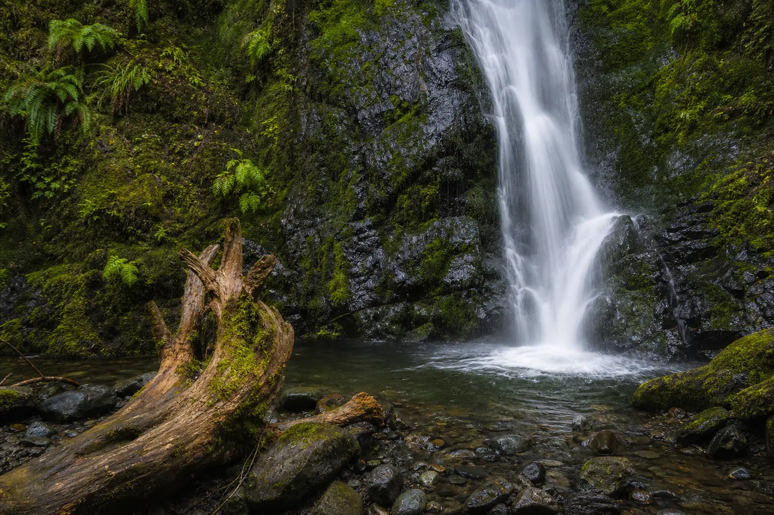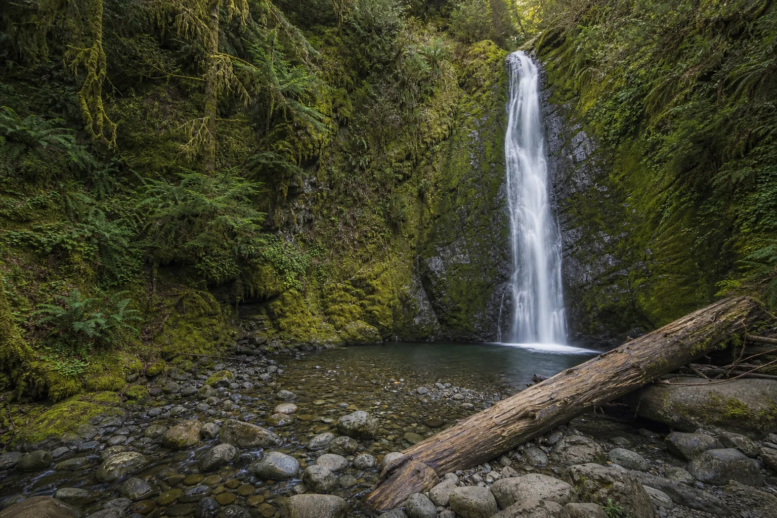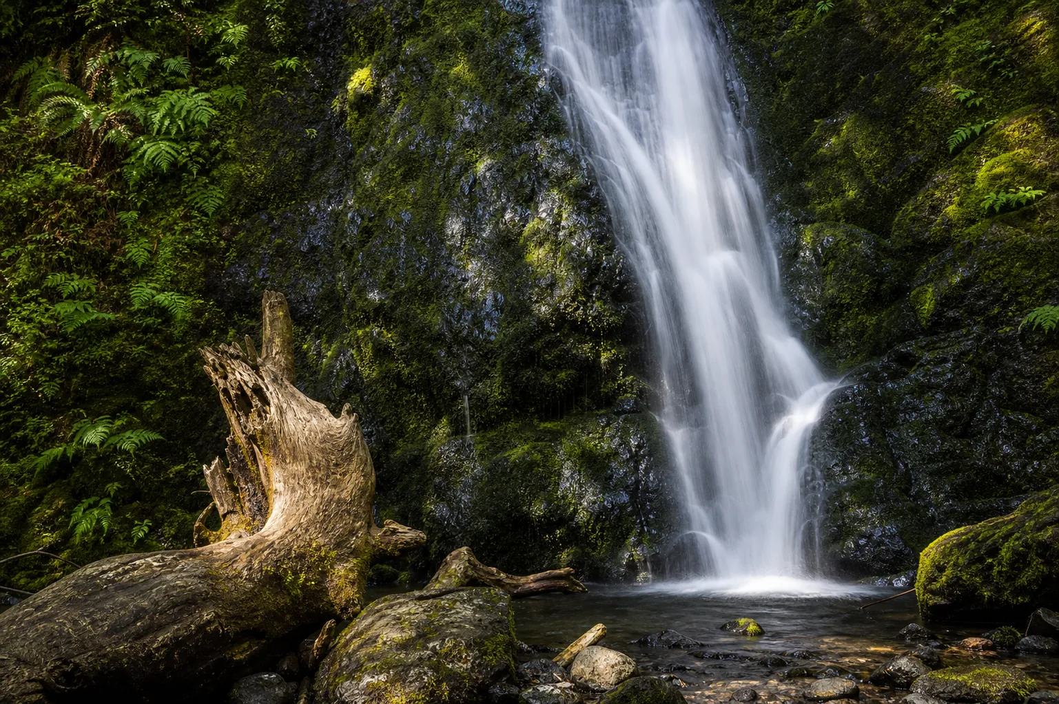
Is Madison Creek Falls worth visiting?
Yes, especially if you want a no-effort, year-round Olympic National Park waterfall stop that works for strollers, wheelchairs, and tight schedules. The strongest windows are winter rains (November through February) and spring snowmelt (April through early June), when the horsetail runs full and loud; late summer reduces it to a thinner braided strand. Practical realities: Olympic National Park charges a $30 per-vehicle, 7-day entrance fee (or your America the Beautiful pass), the small Madison Falls Trailhead lot fills on summer weekends, the paved trail is roughly 200 feet to the viewing porch, and dogs are not allowed on the trail under standard Olympic NP rules.
- 0.2 mi paved, ADA-accessible
- Peak flow: winter rain & spring melt
- Olympic NP entry fee: $30 / 7 days
- Small trailhead lot, arrive early summer
- No dogs on trail (Olympic NP rule)
- 9 mi west of Port Angeles on US-101
Last verified May 12, 2026
Visited Desk-verified May 2026
8 sources checked