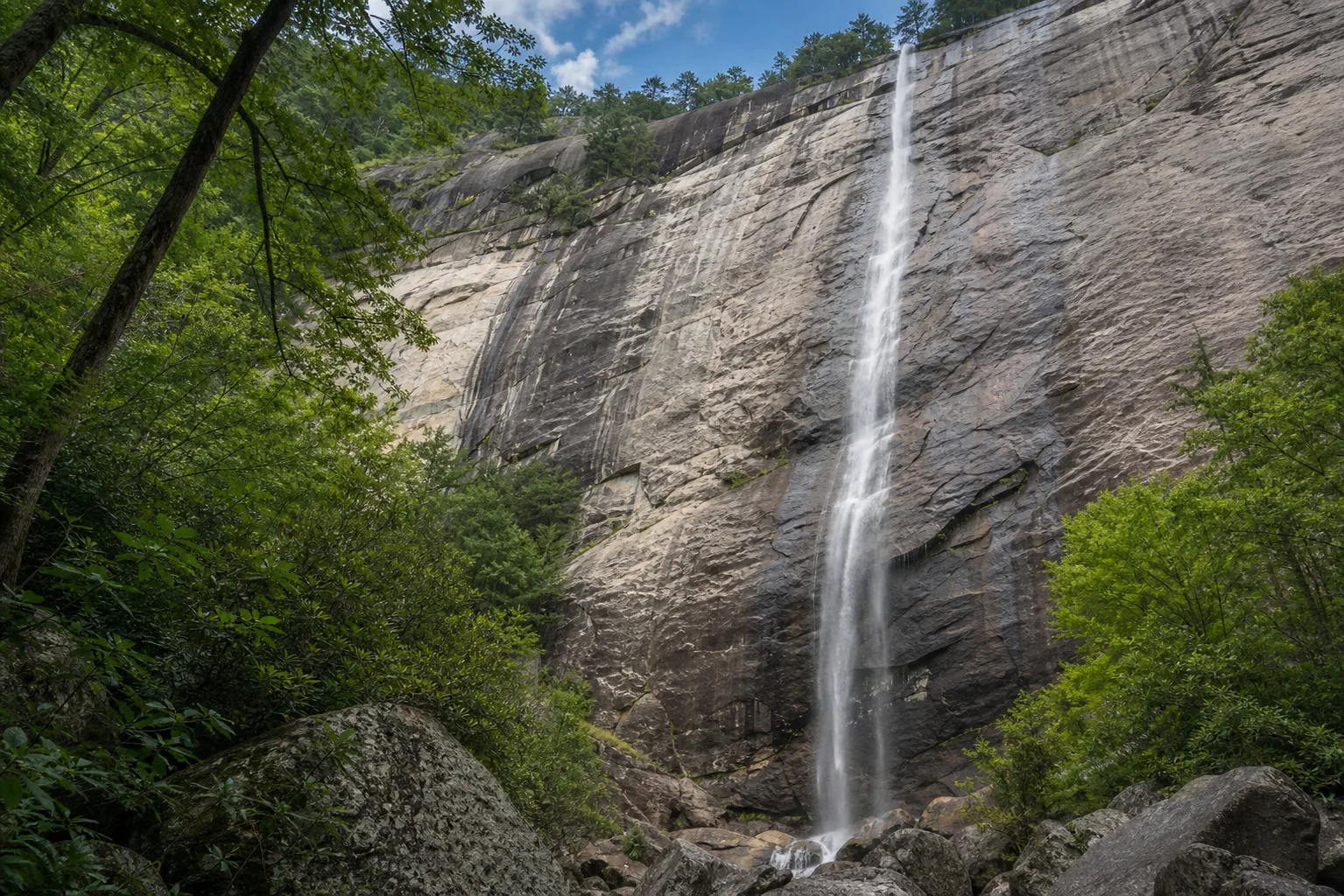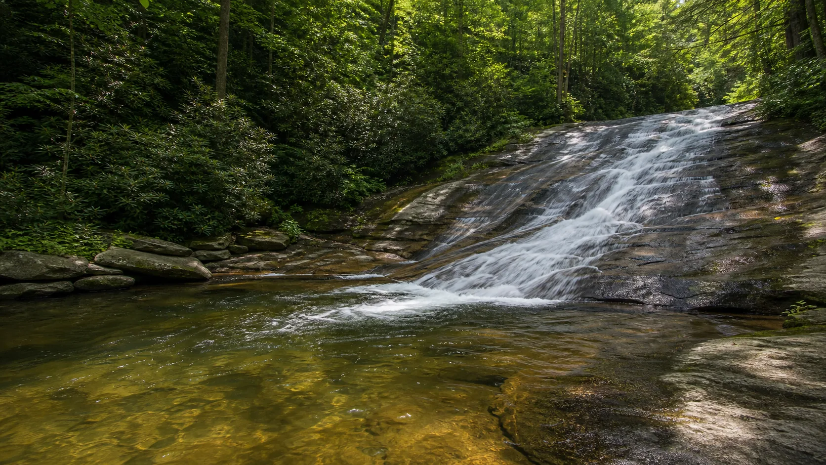
Is Hickory Nut Falls worth visiting?
Yes. The two best windows are April through May for the loudest spring flow off Falls Creek and the third week of October for fall color in Hickory Nut Gorge with the cliffs framed in red and gold. Entry to Chimney Rock at Chimney Rock State Park is currently $17 per adult and $8 per youth (6 to 15); kids 5 and under are free. The 1.4-mile out-and-back to the base of the falls is included with admission, as is the Chimney itself, the elevator-tower, and the Skyline Trail. The waterfall is inside a paid access area, so this is not a free roadside stop; budget at least two and a half hours if you want to combine the Chimney and the falls.
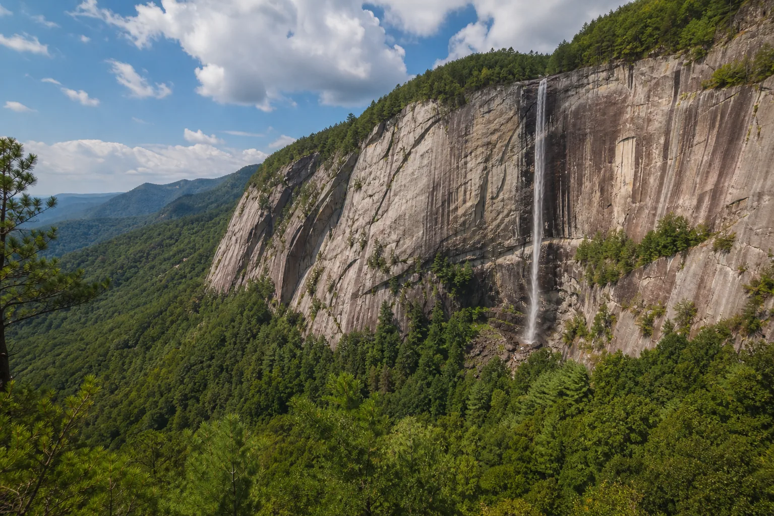
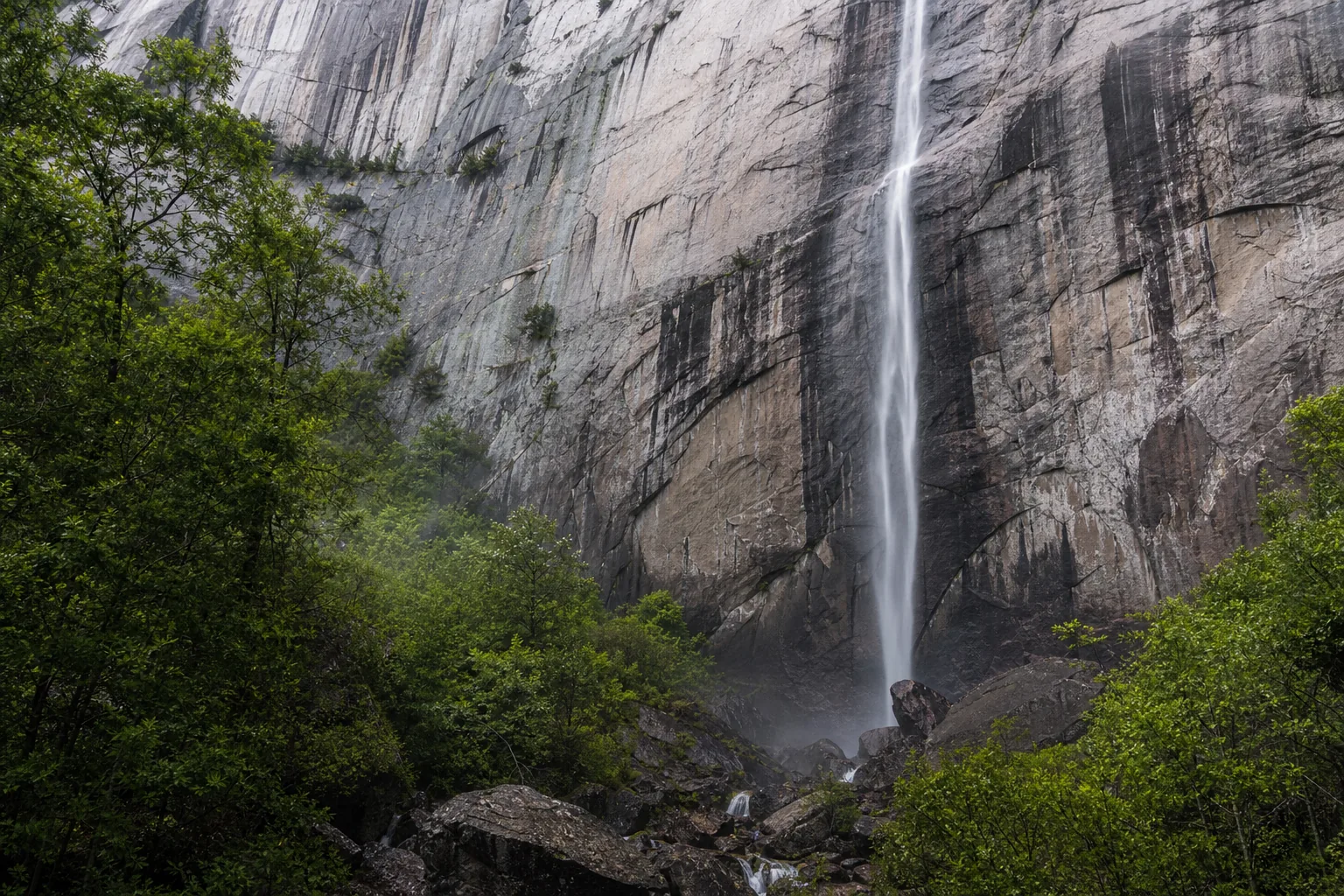
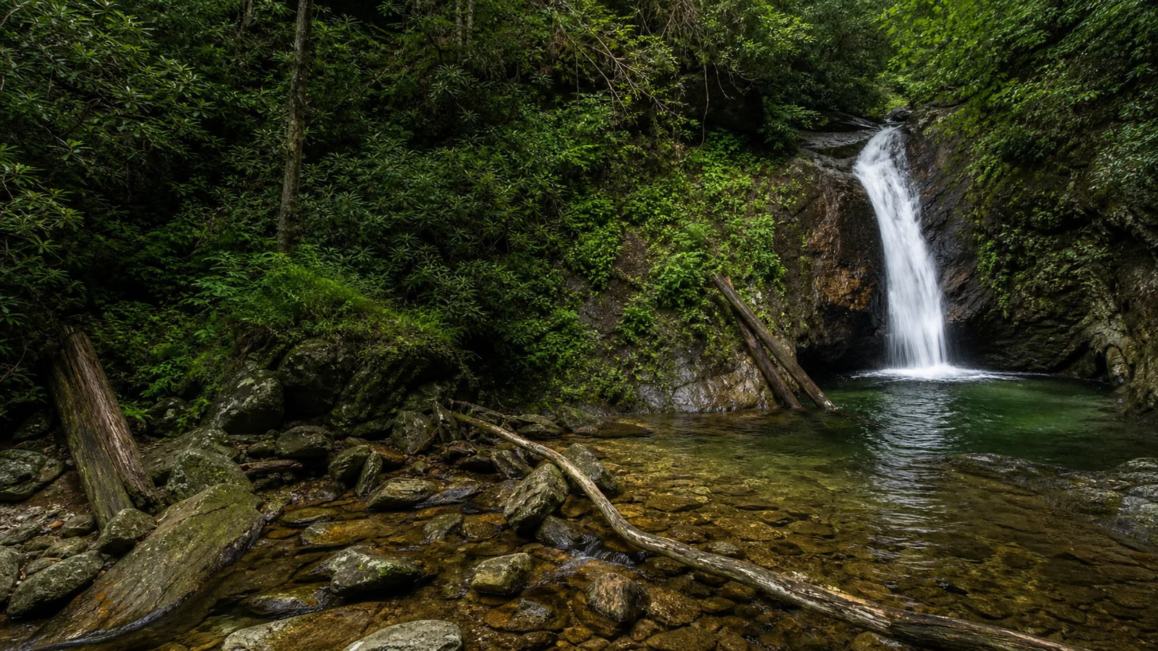
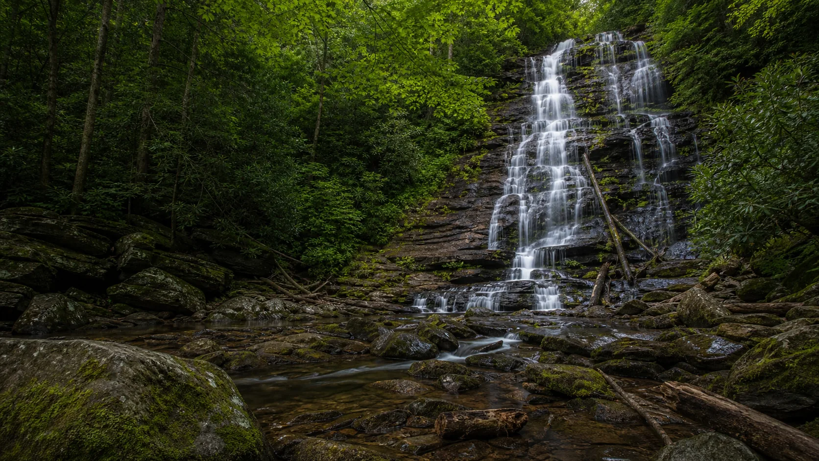
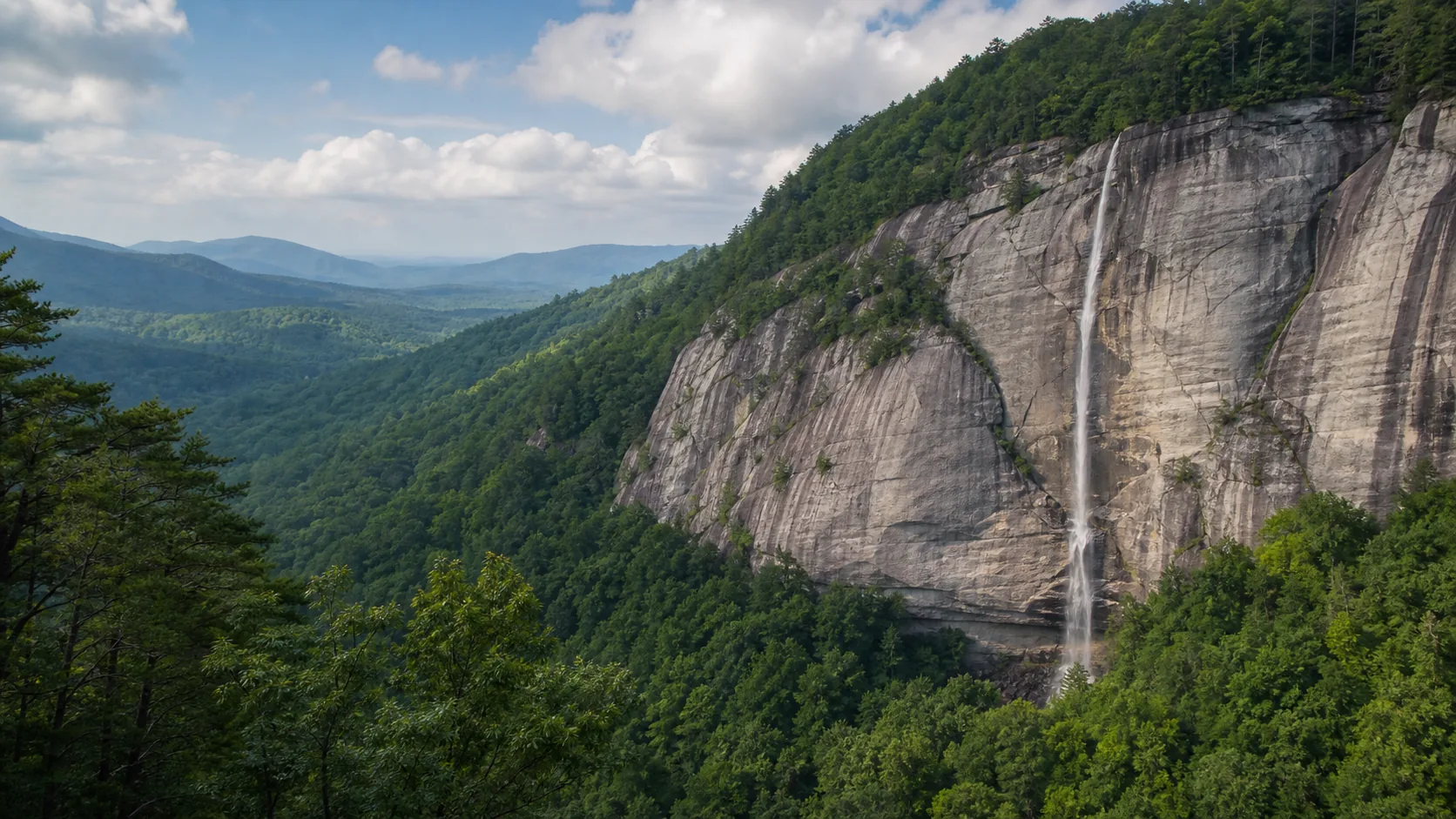
- 404 ft single-tier; one of NC's tallest
- 1.4 mi RT on a graded forest road
- Peak flow: April to May, after heavy rain
- Inside paid Chimney Rock SP ($17 adult)
- Last of the Mohicans (1992) filming site
- Leashed dogs OK on the trail
Last verified May 12, 2026
Visited Desk-verified May 2026
7 sources checked