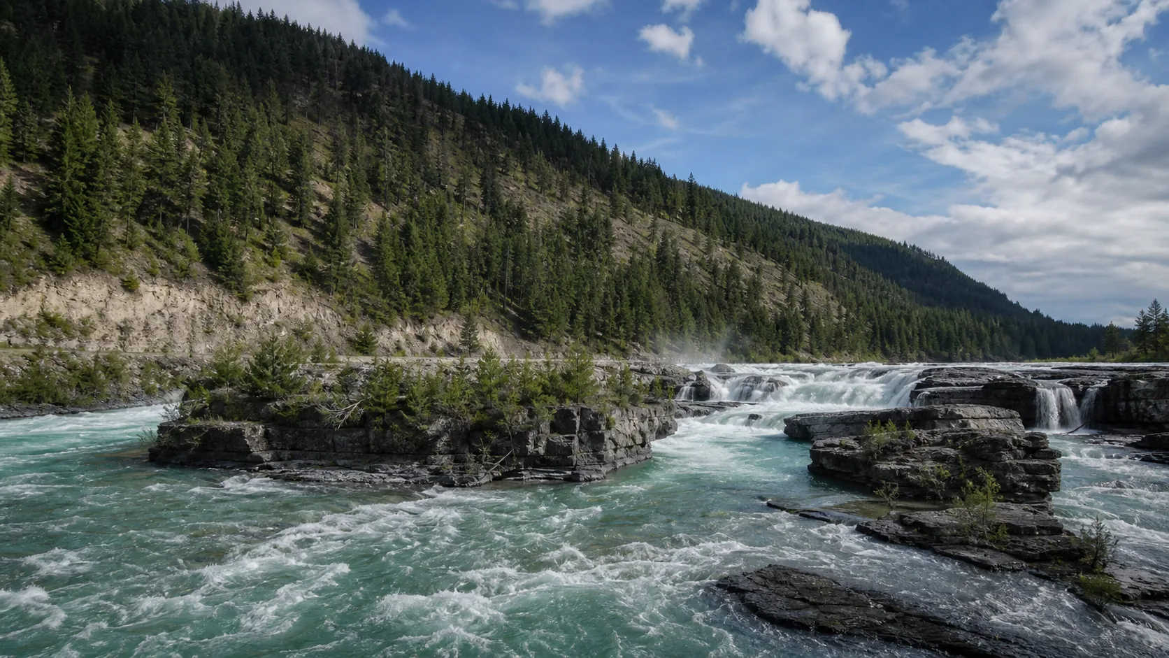
Is Kootenai Falls worth visiting?
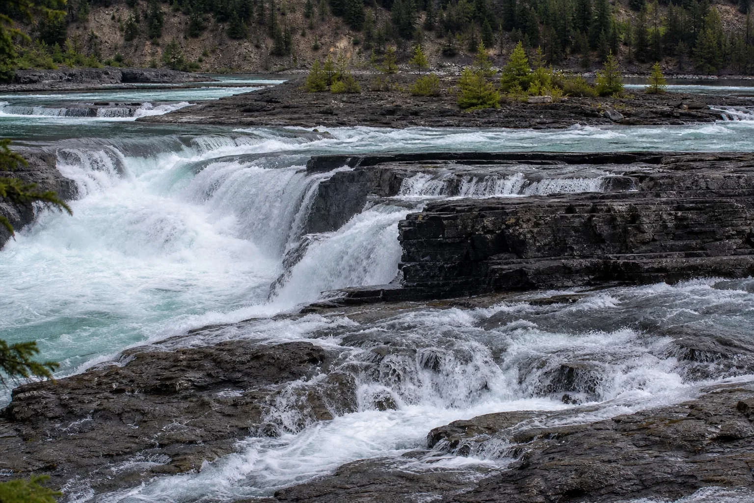
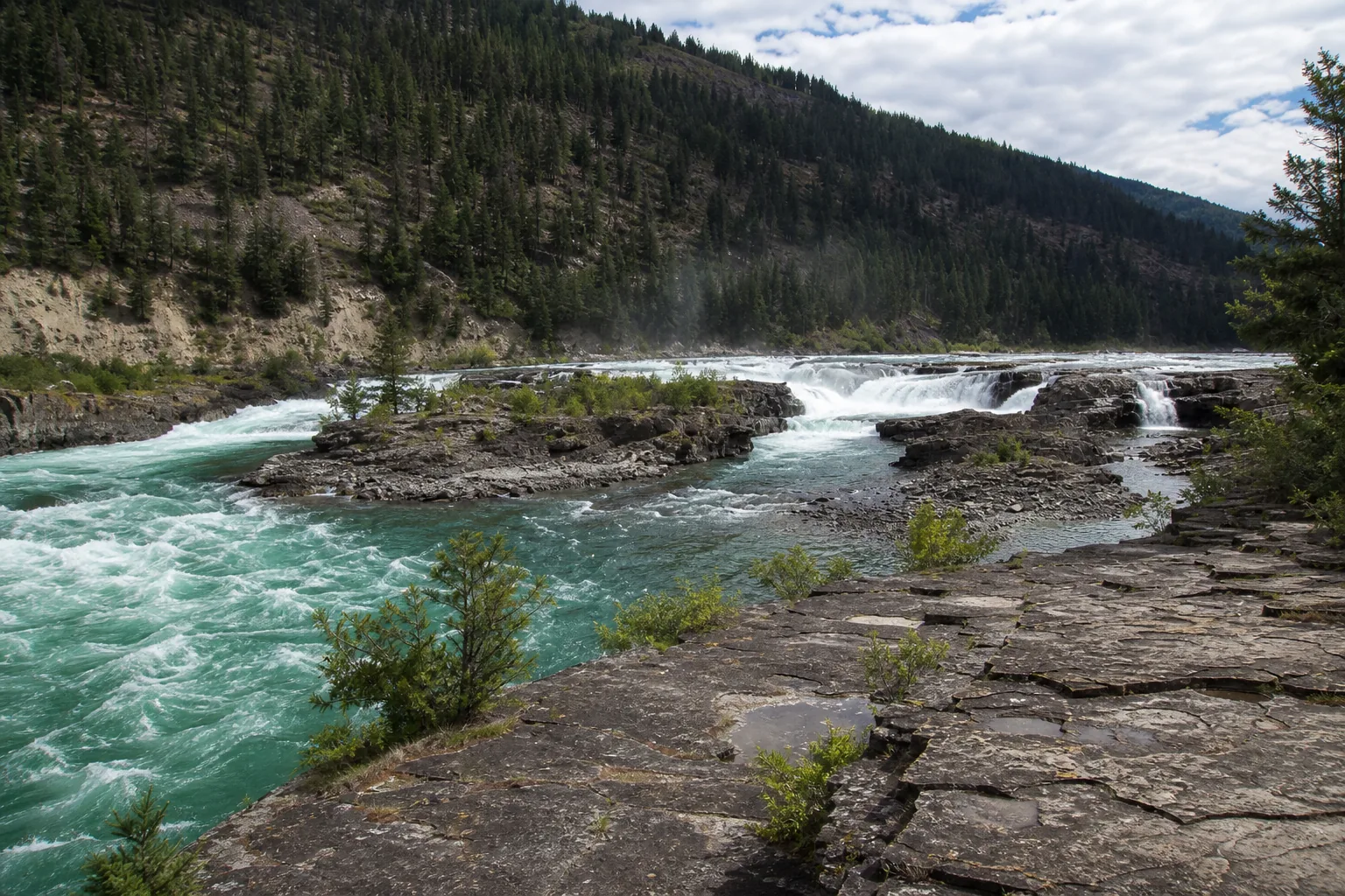
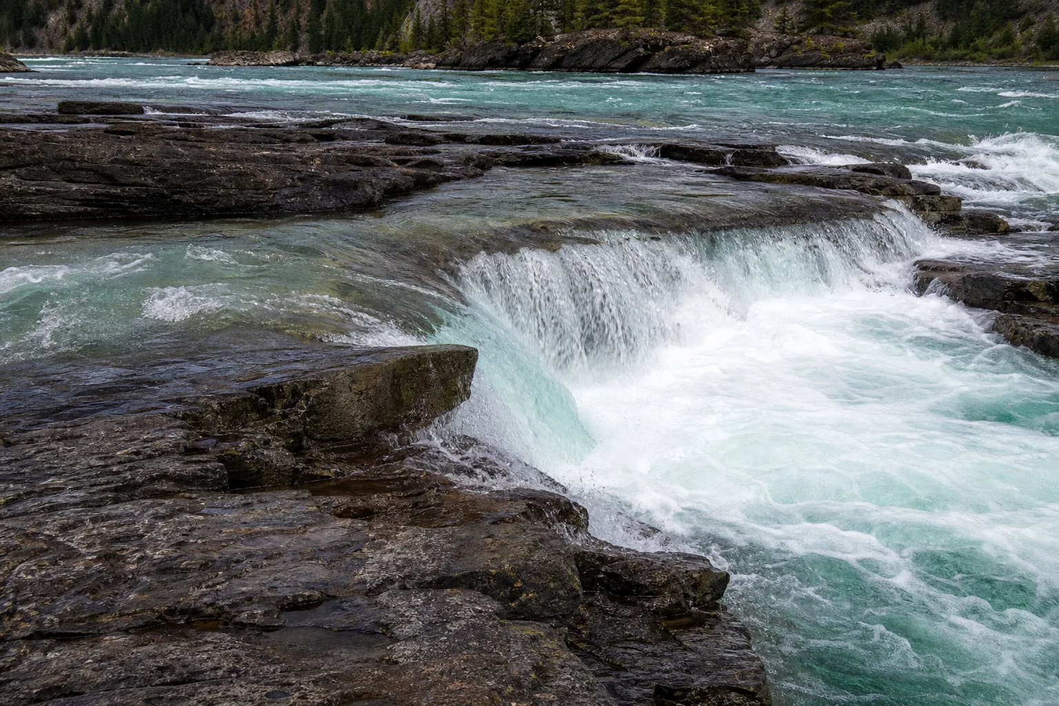
Yes. May through October is the practical visit window, and the falls is dramatic at every flow because it is a wide cascade rather than a single plunge: spring runoff turns the gorge into a brown roaring chute, late summer drops the level and exposes the polished quartzite shelves underneath. Entry, parking, and the swinging bridge are all free.
- Largest undammed waterfall in Montana
- Free USFS day-use lot off US-2
- 0.6 mi to the falls, 1.6 mi with the swinging bridge
- Best flows: May through June
- Sacred to the Ktunaxa (Kootenai) people, treat respectfully
- Filming location for The River Wild (1994)
Last verified May 12, 2026
Visited Desk-verified May 2026
7 sources checked