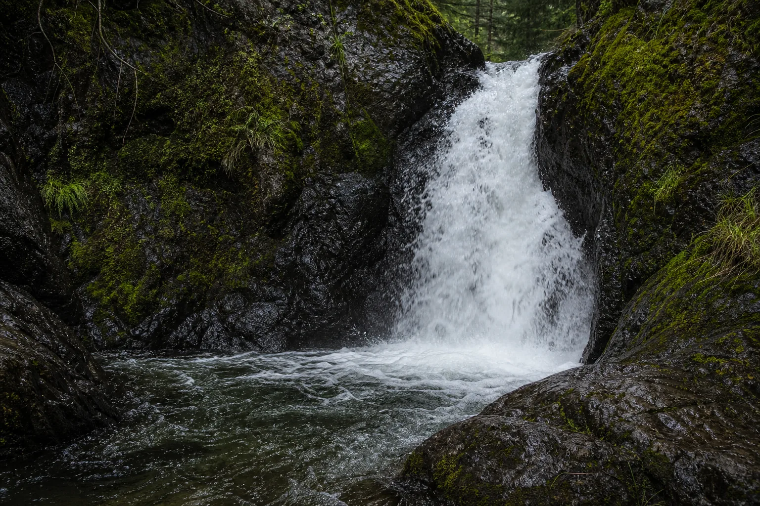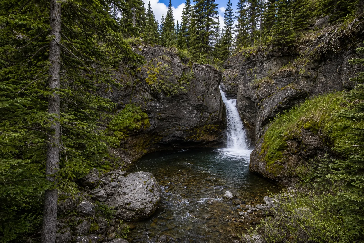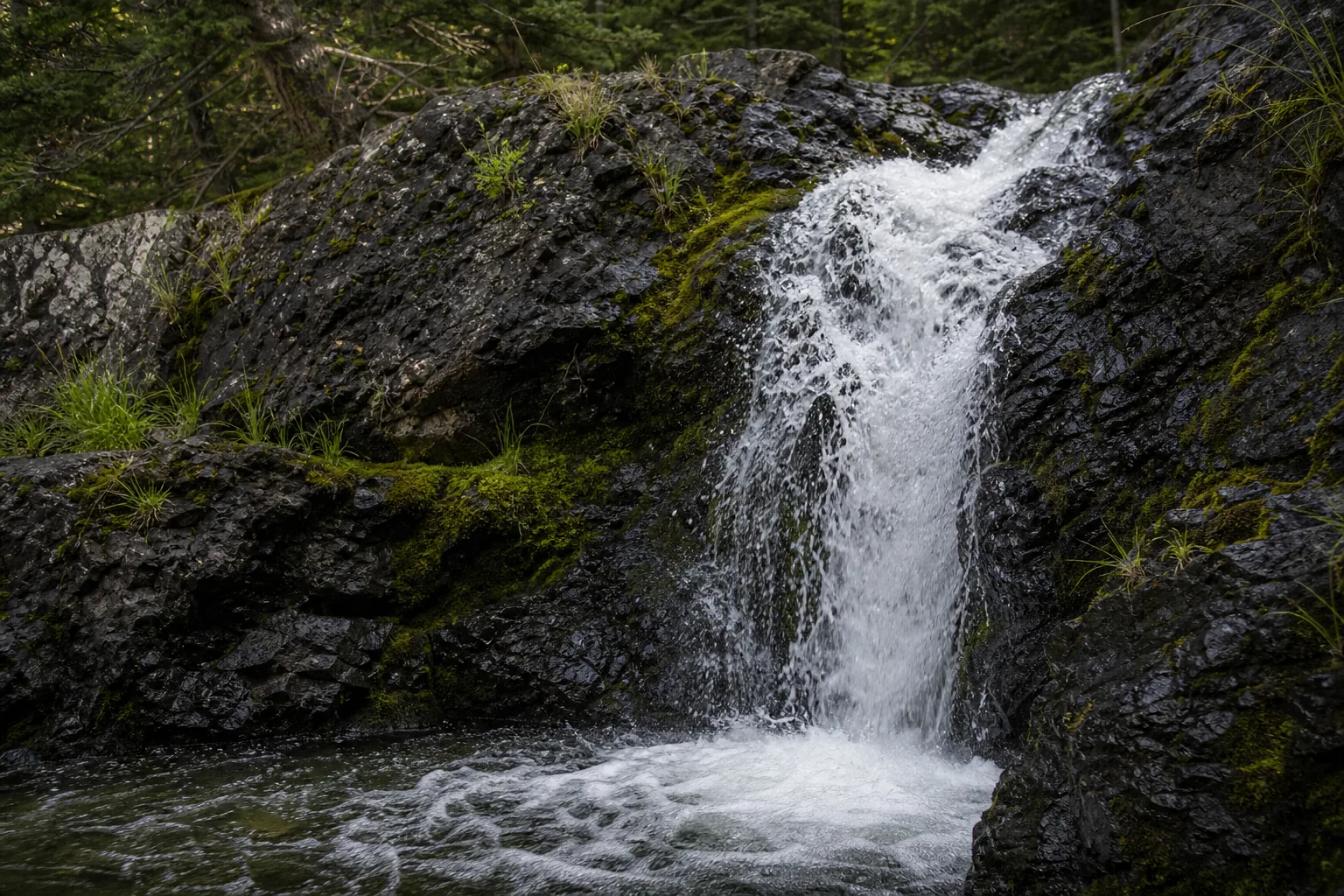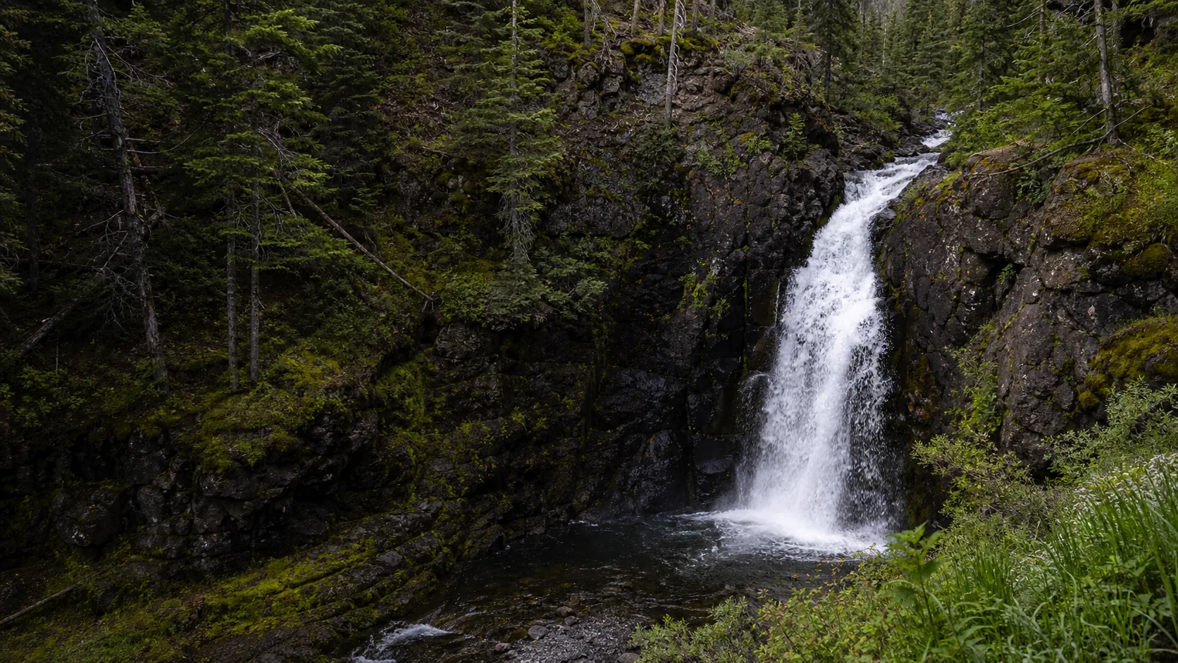
Is Moose Falls worth visiting?
Yes, if you are already driving the South Entrance corridor between Grand Teton and the Old Faithful side of Yellowstone. The pullout is roadside and the walk to the brink is under a minute, so the time cost is essentially the cost of slowing down. The best window is late May through early October, when the South Entrance Road is open to wheeled vehicles. Yellowstone charges $35 per private vehicle for a 7-day pass; that one fee also covers Lewis Falls 7.6 miles up the same road and the rest of the park.
- 30-ft plunge on Crawfish Creek
- Roadside pullout, very short walk
- Best window: late May to early October
- Yellowstone fee: $35 per vehicle / 7 days
- Pair with Lewis Falls up the road
- South Entrance closes in winter
Last verified May 12, 2026
Visited Desk-verified May 2026
7 sources checked