Juneau, Alaska
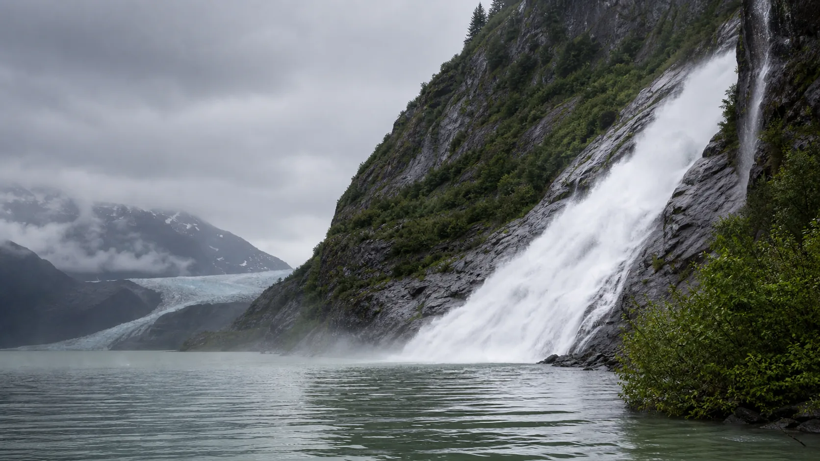
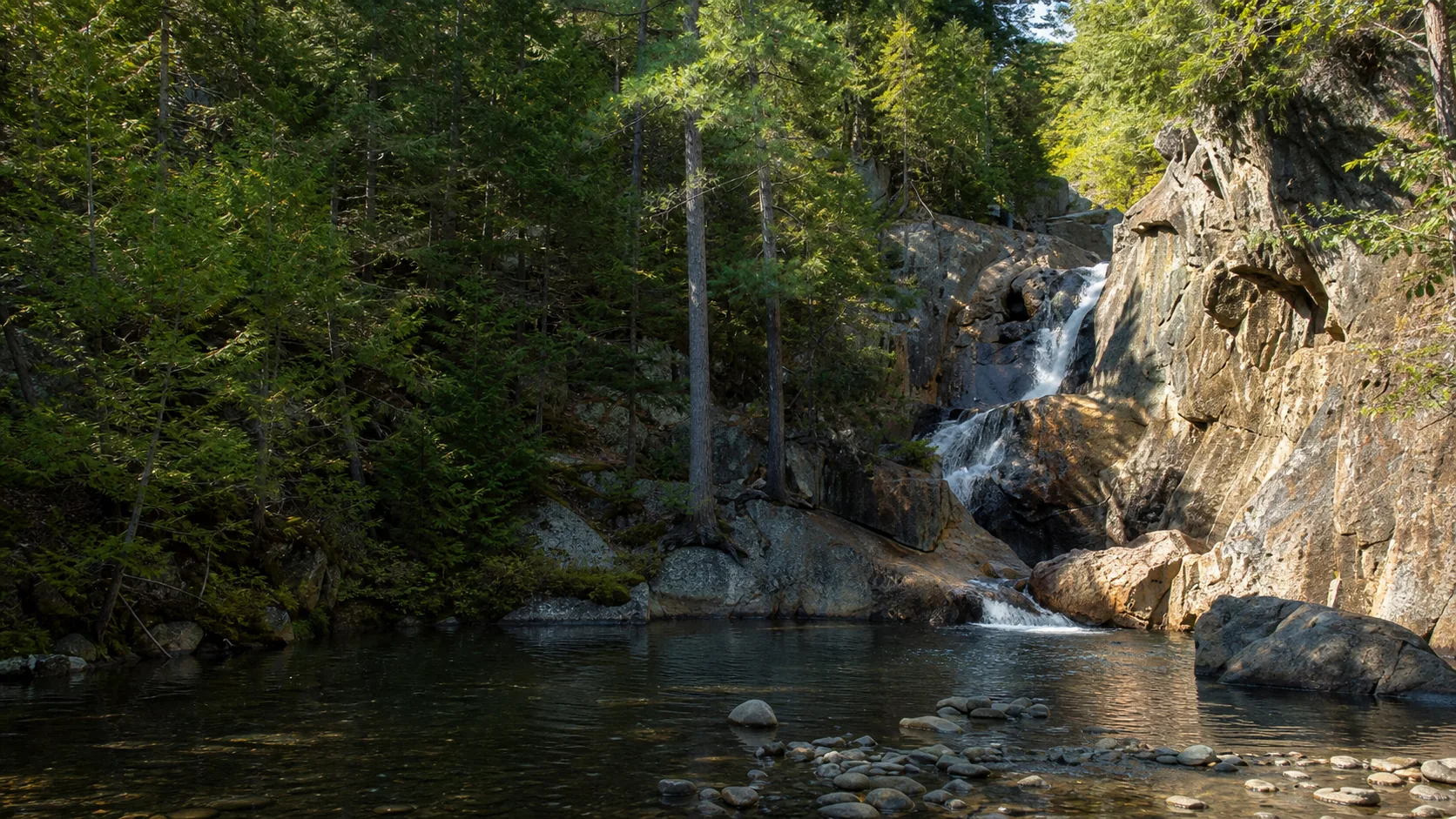
Nugget Falls
Plan Nugget Falls near Juneau, Alaska: 2 mi route details, parking and directions, best time to visit, safety notes, and 10 waterfall photos.
377 ft2 mi10 photos
Find waterfall guides with photos, maps, trail notes, parking checks, directions, best-season advice, and safety details before you drive.
Each guide targets the practical waterfall searches people make before a trip: trail length, hike difficulty, parking, directions, photos, swimming rules, dog rules, accessibility, and best time to visit.
Plan Nugget Falls near Juneau, Alaska: 2 mi route details, parking and directions, best time to visit, safety notes, and 10 waterfall photos.
Plan Fish Creek Falls in Routt County, Colorado: 0.5 mi route details, parking and directions, best time to visit, safety notes, and 8 waterfall photos.
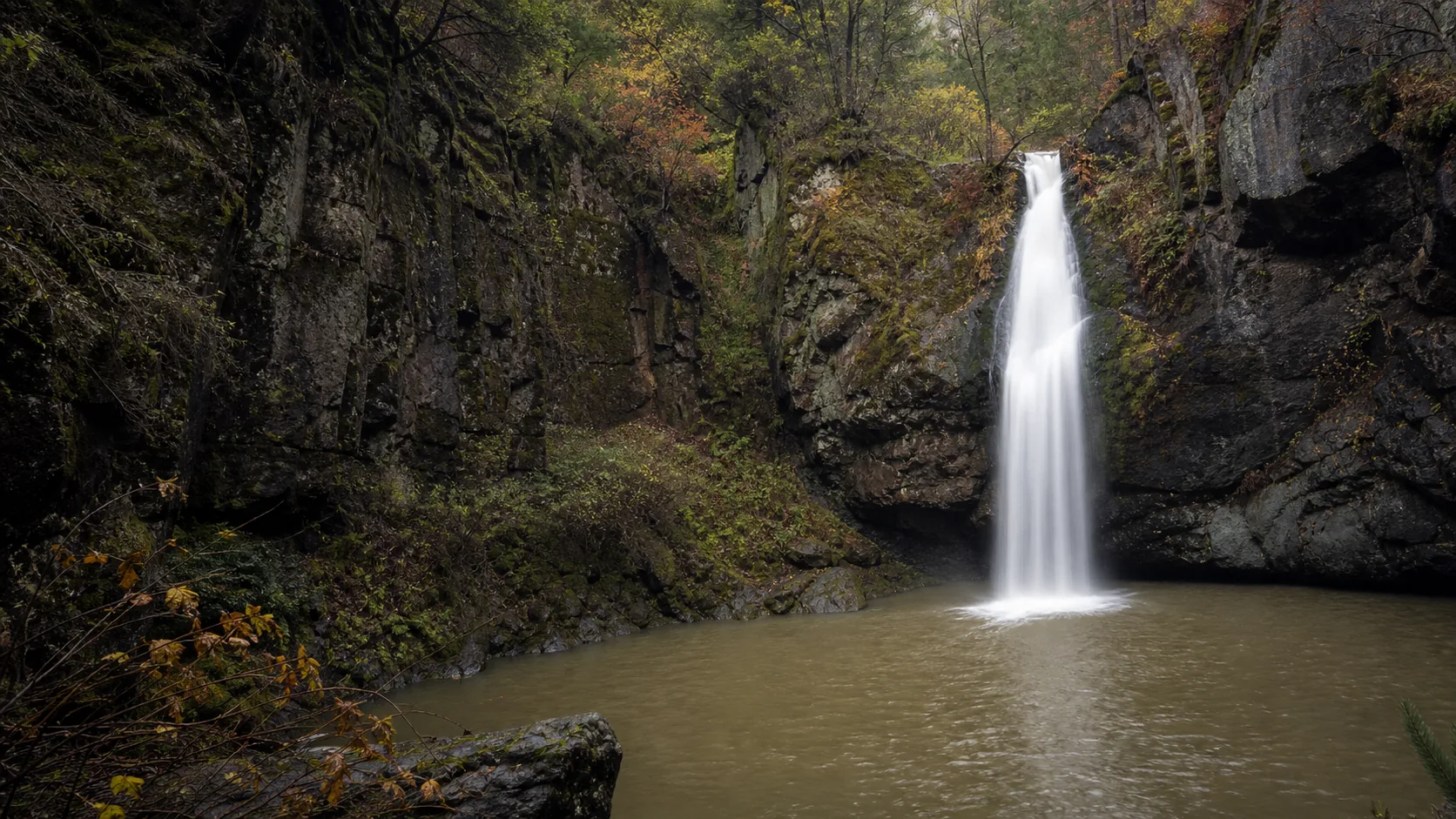
Plan Watson Falls in Douglas County, Oregon: 0.6 mi route details, parking and directions, best time to visit, safety notes, and 8 waterfall photos.
Plan Dukes Creek Falls near Helen, Georgia: 1 mi route details, parking and directions, best time to visit, safety notes, and 8 waterfall photos.
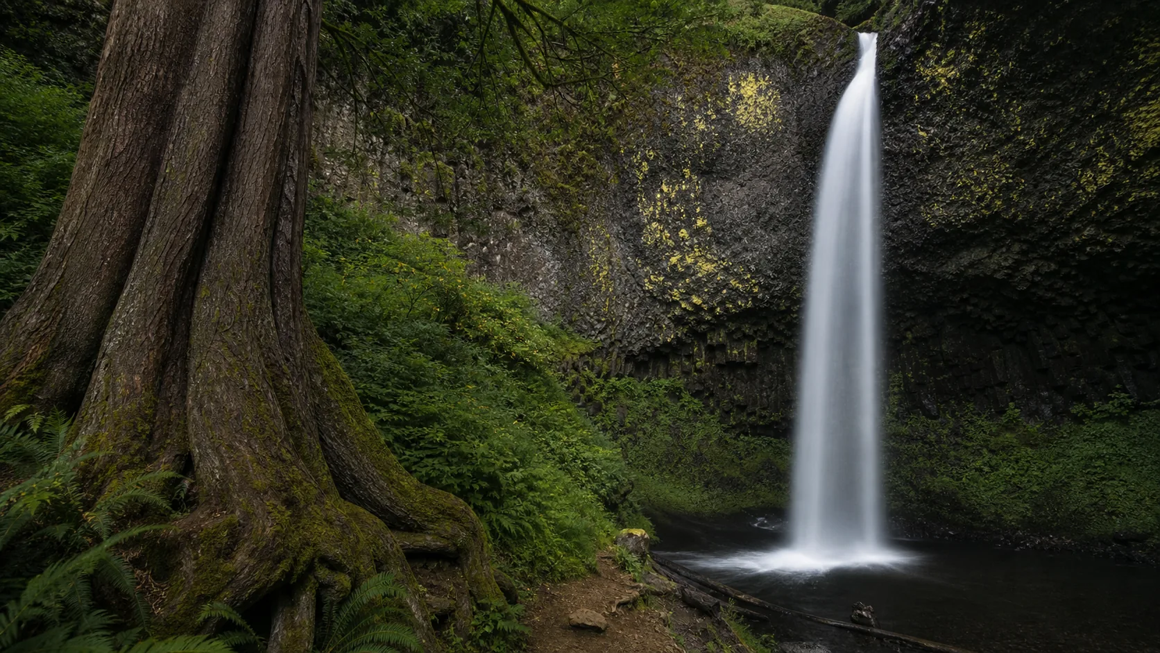
Plan Latourell Falls in Multnomah County, Oregon: 2.4 mi route details, parking and directions, best time to visit, safety notes, and 8 waterfall photos.
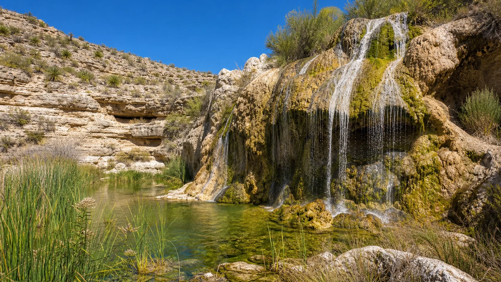
Plan Sitting Bull Falls near Carlsbad, New Mexico: 0.2 mi route details, parking and directions, best time to visit, safety notes, and 8 waterfall photos.
Current USGS discharge for falls with paired gauges. The verdict compares the reading to the long-term median at that gauge.
Plan Potem Falls in Shasta County, California: 0.4 mi route details, parking and directions, best time to visit, safety notes, and 4 waterfall photos.
Plan Blue Hole Falls near Helen, Georgia: 1 mi route details, parking and directions, best time to visit, safety notes, and 4 waterfall photos.
Plan Smalls Falls near Township E, Maine: 0.5 mi route details, parking and directions, best time to visit, safety notes, and 4 waterfall photos.
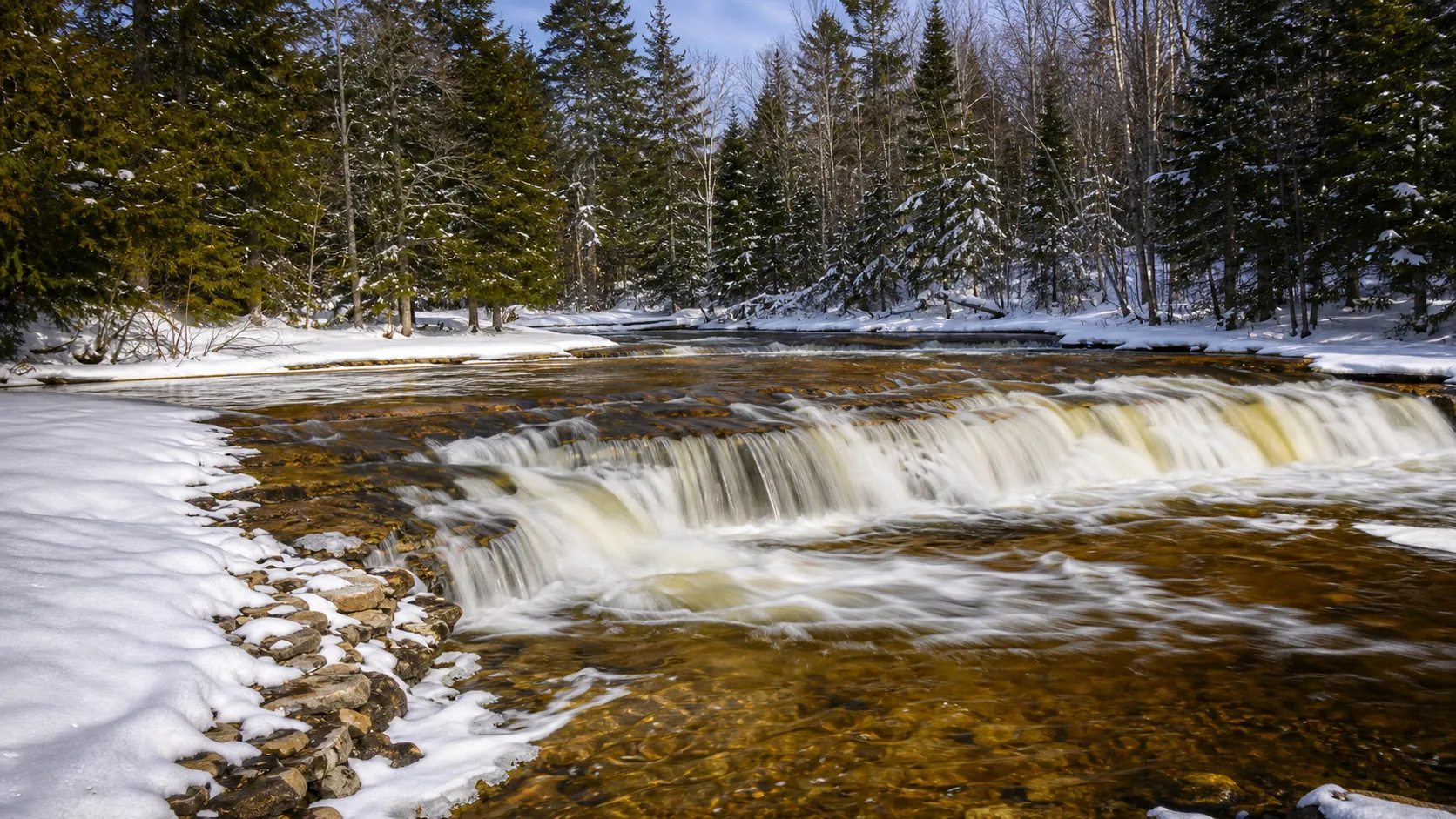
Plan Ocqueoc Falls near Ocqueoc Township, Michigan: 0.3 mi route details, parking and directions, best time to visit, safety notes, and 4 waterfall photos.
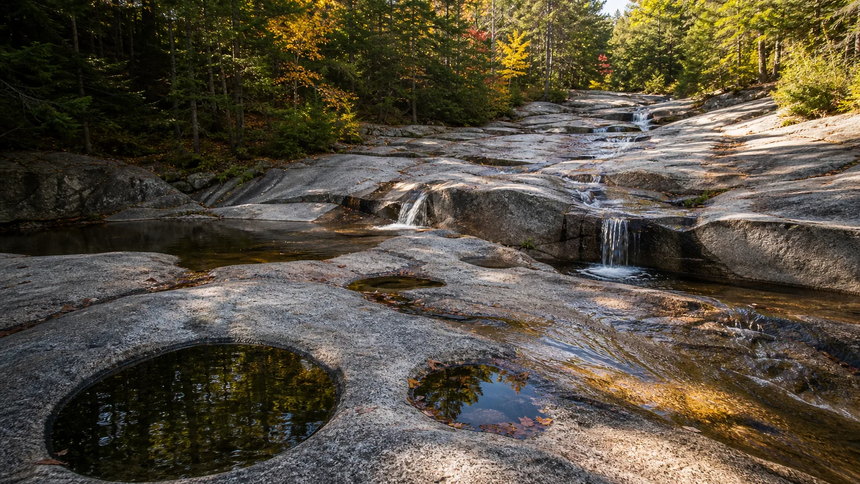
Plan Diana's Baths near Bartlett, New Hampshire: 1.2 mi route details, parking and directions, best time to visit, safety notes, and 8 waterfall photos.
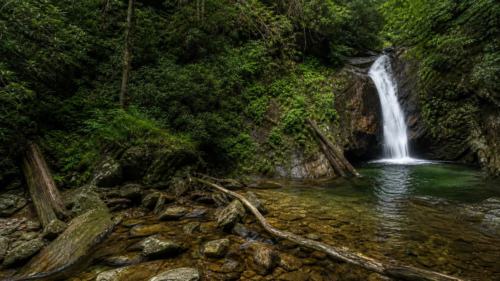
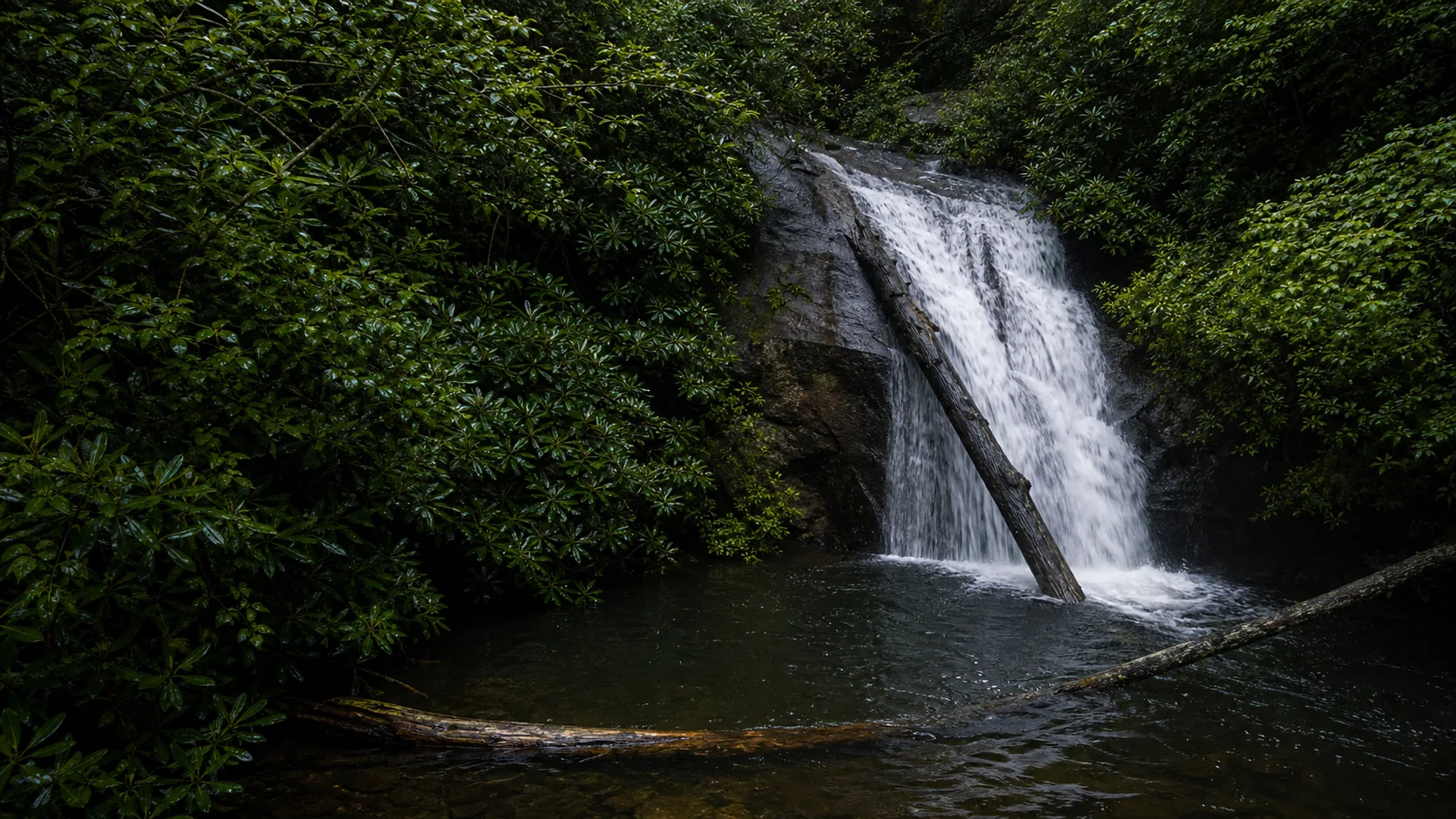
Plan Courthouse Falls in Transylvania County, North Carolina: 0.8 mi route details, parking and directions, best time to visit, safety notes, and 4 waterfall photos.
Short walks, paved or well-maintained, low elevation gain. Good for families and quick stops.
Which pools are legal to swim, which are closed, which are deceptively dangerous, which are cold-shock cold.
Guides with strong photo coverage, working viewpoint notes, light direction, and crowd timing.
Which falls freeze into ice columns, which trails are gated, where to bring microspikes.
Every published guide on one map, clustered by region, with hero photos in the marker popups.
State-anchored road trips that string several published guides together with drive times.
Every page answers the questions you have before you drive: trail, parking, fees, hours, dogs, swim policy, and what the falls actually looks like at the flow you'll get.
USGS discharge readings and NOAA forecasts pulled at build time. Real numbers, not vibes.
When sources disagree on a height or a fee, we report both. When a fact is unknown, we say so.