Dingmans Falls, the 130-foot single-tier plunge inside Delaware Water Gap National Recreation Area in Pike County, Pennsylvania
Dingmans Ferry, PA

Dingmans Falls

Dingmans Falls is a 130-foot single-tier plunge on Dingmans Creek inside Delaware Water Gap National Recreation Area, widely cited as Pennsylvania's second-tallest waterfall behind nearby Raymondskill. A 0.4-mile boardwalk reaches the base on a fully wheelchair- and stroller-accessible grade, passing the 80-foot Silverthread Falls a few hundred feet upstream.

Last verified May 12, 2026 Visited Desk-verified May 2026 8 sources checked
Trail 0.4 mi 0.8 mi extended
Time 20-60 min Easy
Best season April through October; spring runoff and mid-October fall color are the strongest windows March through mid-May
Parking Free NPS parking at the Dingmans Falls Visitor Center lot off Johnny Bee Road; access road is gated in winter and closed during current bridge replacement work Delaware Water Gap National Recreation Area
Quick answer

Is Dingmans Falls worth visiting today?

Yes. The strongest windows are March through mid-May for spring runoff, late June through August for warm-weather visits when both falls run reliably, and mid-October when the hemlock-and-hardwood ravine fills with autumn color. The boardwalk and parking are free, the trail is open year-round when the access road is plowed, and you get two waterfalls (Dingmans and Silverthread) on the same short walk.

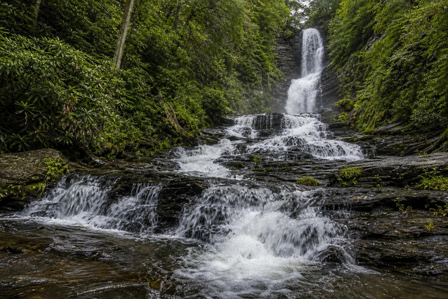
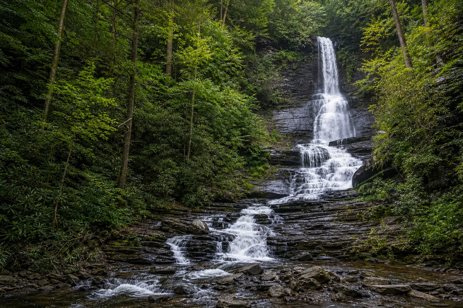
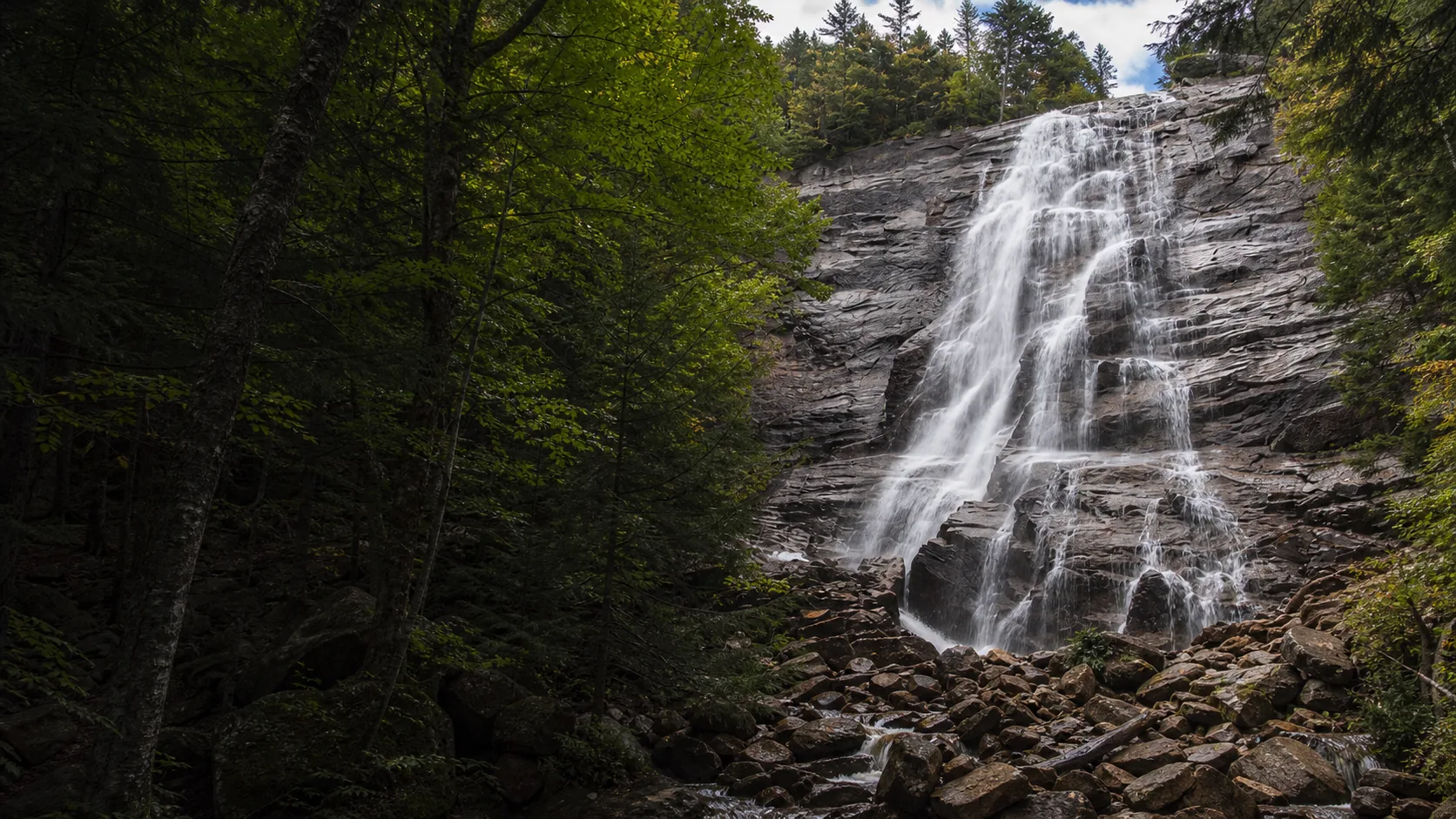
  • 130 ft plunge, PA's 2nd-tallest
  • 0.4 mi accessible boardwalk
  • Silverthread Falls on the same walk
  • Free NPS parking and trail
  • Visitor Center: Memorial Day to Labor Day
  • Peak color: mid-October
Last verified May 12, 2026 Visited Desk-verified May 2026 8 sources checked
Distance 0.4 mi 0.8 mi extended
Round trip 20-60 min Fully accessible boardwalk; observation deck stairs optional
Difficulty Easy Fully accessible boardwalk; observation deck stairs optional
Location Dingmans Ferry, PA Delaware Water Gap National Recreation Area
Parking Free NPS parking at the Dingmans Falls Visitor Center lot off Johnny Bee Road; access road is gated in winter and closed during current bridge replacement work NPS
Transit No fixed-route transit Drive in via Johnny Bee Road off Route 209 · 0 ft
Drive 17 mi 25 min from downtown
Best season April through October; spring runoff and mid-October fall color are the strongest windows March through mid-May
Dingmans Falls base of dingmans falls and the shallow plunge pool over mahantango siltstone slabs
Photo guide

Three angles on a 130-foot Pocono plunge.

The Dingmans Creek Trail boardwalk hands you three working viewpoints in 0.4 miles: Silverthread at the head of the trail, the long axial frame of Dingmans from the lower deck, and the top-of-falls railed overlook via the upper stairs. Most published photos are variations on those three positions.

Dingmans Falls, the 130-foot single-tier plunge inside Delaware Water Gap National Recreation Area in Pike County, Pennsylvania
Dingmans Falls, hero composition
Dingmans Falls 130-foot plunge seen from the boardwalk lower deck, framed by hemlock and rhododendron
The 130-foot single-tier plunge framed by the hemlock-rhododendron ravine from the lower boardwalk deck
Dingmans Falls base, plunge pool, and Mahantango Formation siltstone slabs
Base of Dingmans Falls and the shallow plunge pool over Mahantango siltstone slabs
Dingmans Falls water and Mahantango Formation bedding-plane rock detail
Water-and-rock detail showing the horizontal Mahantango bedding planes that produce the layered face of Dingmans Falls
01Is Dingmans Falls flowing right now?

Live data: USGS gauge 01439590 (Little Bush Kill at Edgemere, PA) ↗. There is no gauge directly on Dingmans Creek; this is the closest active discharge gauge at 9 km away on a similar Pocono Plateau headwater. Park status: nps.gov/dewa ↗.

02How long is the walk?

The Dingmans Creek Trail boardwalk is 0.4 miles round trip from the Visitor Center parking lot to the base of Dingmans Falls. The full boardwalk plus the upper observation deck via roughly 240 wooden steps is about 0.5 miles round trip. The 80-foot Silverthread Falls is visible from the boardwalk about 200 feet in from the trailhead.

03How do you get there?

Take PA Route 209 (the Old Mine Road corridor) to Johnny Bee Road in Dingmans Ferry, Pike County. The access road runs about 0.7 miles in to the Dingmans Falls Visitor Center and trailhead parking. From I-84 take Exit 34 (Milford) south on US-209; from I-80 take Exit 309 north on US-209.

04Is there free parking?

Free NPS parking at the Dingmans Falls Visitor Center lot off Johnny Bee Road. No entrance fee, no day-use pass. The lot fills on summer weekends and during peak fall color in mid-October; arriving before 10 a.m. is reliable. The access road is gated when closed for snow or for current bridge replacement work; check NPS alerts.

05Does it cost money?

Free. No entrance fee, no parking fee, no Visitor Center fee. The only paid waterfall stop in this area is Bushkill Falls a few miles south, which is privately operated and charges admission.

06Trail variants

Boardwalk to falls base 0.4 mi round trip, 20 to 30 min, wheelchair and stroller accessible; passes Silverthread Falls.
Boardwalk plus observation deck 0.5 mi round trip, 30 to 45 min, add roughly 240 wooden steps to the top of the falls.
Silverthread Falls only 0.1 mi one way, 10 min, 80 ft secondary fall a short walk in from the trailhead.
Pair with Raymondskill Falls 12 mi drive north, half day combined, the other contender for Pennsylvania's tallest waterfall.

Detailed maps and recent reviews: Falls route on AllTrails · Creek route on AllTrails

07Can you swim?

No. Swimming, wading, and climbing on the falls are prohibited by NPS regulation throughout Delaware Water Gap NRA. The plunge pool at the base of Dingmans is shallow with submerged ledges, and the rocks above the falls are slick and have caused fatalities. Stay on the boardwalk.

08Are dogs allowed?

Yes, on a 6-foot leash. Dogs are allowed on the Dingmans Creek Trail boardwalk under NPS Delaware Water Gap NRA pet rules. Pick up after your dog; trash cans are at the Visitor Center.

09Is it accessible?

Yes. The 0.4-mile boardwalk from the parking lot to the base of Dingmans Falls is fully accessible to wheelchairs and strollers, with handrails and a near-level grade. The upper observation deck via roughly 240 wooden stairs is not accessible. Restrooms at the Visitor Center are accessible during the Memorial Day to Labor Day season; portable accessible toilets are typically posted off-season.

Field notes

Dingmans Falls at a glance.

130-foot single-tier plunge over Mahantango Formation siltstone and shale, drainage area about 16 sq mi above the falls, managed by the National Park Service inside Delaware Water Gap National Recreation Area, free to visit, trail open dawn to dusk. Sourced from the NPS Delaware Water Gap NRA pages and Pennsylvania Geological Survey bedrock mapping.

Height 130 ft USGS 3DEP
Type Plunge (single tier) USGS
County Pike Dingmans Ferry, PA
Managed by National Park Service NPS
Water source Dingmans Creek USGS
Elevation 686 ft USGS NED
Park area 70,000 acres NPS
Hours Trail open dawn to dusk year-round when access road is open; Visitor Center open Memorial Day weekend through Labor Day NPS
When to visit

Three windows that justify the drive.

March through mid-May for the loudest spring runoff. Late June through early July for rhododendron bloom in the ravine. Mid-October (second and third week) for peak Pocono fall color framing the falls. Outside those windows Dingmans still runs reliably; the boardwalk is the constant.

PEAK FLOW

Peak flowMarch through mid-May
Ice / low flowLate December through February
Most crowdedWeekends and midday
Best photosSunrise or weekdays

Live water context

Discharge data -- Live reading from Little Bush Kill at Edgemere, PA (proxy, 9 km away) (USGS 01439590) refreshes on the next build. Open the gauge link below for the current cubic-feet-per-second reading.

USGS 01439590 · Little Bush Kill at Edgemere, PA (proxy, 9 km away)

Why is it called Dingmans Falls?

Dingmans Falls, Dingmans Creek, and the village of Dingmans Ferry all carry the family name of Andrew Dingman, a Dutch settler from Kingston, New York who established a ferry crossing on the Delaware River near here in 1735. The crossing was the only river ferry between New York's Catskills and the Delaware Water Gap for generations and gave the surrounding township its name. The ferry kept operating until the family-built bridge replaced it in the 1830s; today the privately owned Dingmans Ferry Bridge a few miles east of the falls is still one of the last toll bridges across the Delaware.

What else to do at Delaware Water Gap National Recreation Area

Delaware Water Gap National Recreation Area covers about 70,000 acres of the middle Delaware River corridor across Pennsylvania and New Jersey. Dingmans Falls and Silverthread Falls sit on the Pennsylvania side, in Pike County, reached by the short access road that runs from Route 209 to the Dingmans Falls Visitor Center off Johnny Bee Road. Stroudsburg is the usual base for a Pocono Mountains weekend; from there, Bushkill Falls (privately operated, paid) and Raymondskill Falls (NPS, free) round out the headline waterfalls of the NRA.

  • Dingmans Falls Visitor Center. NPS-run center at the trailhead. Exhibits on the Mahantango geology and the Dingmans Ferry crossing. Open daily from Memorial Day weekend through Labor Day weekend; closed the rest of the year.
  • Dingmans Creek Trail boardwalk. 0.4-mile elevated wooden boardwalk from the parking lot to the base of Dingmans Falls, fully wheelchair and stroller accessible. Passes Silverthread Falls about 200 ft in.
  • Upper observation deck. Stair climb of roughly 240 wooden steps from the base of Dingmans to a railed deck at the top of the falls. Not accessible; closed when icy.
  • Silverthread Falls. 80-foot ribbon waterfall in a narrow rock cleft a few hundred feet upstream of Dingmans, visible from the boardwalk. Often photographed without realizing it is a separate named waterfall.
  • Hemlock-rhododendron ravine. The ravine is one of the best-preserved old-growth eastern hemlock stands in the mid-Atlantic, with thick rhododendron understory that blooms white in late June and early July.

Why it looks this way

Dingmans Falls plunges over Mahantango Formation bedrock, a Middle Devonian sequence of siltstone, mudstone, and thin sandstone layers that underlies most of the Pocono Plateau. The Mahantango sits on top of the softer Marcellus Shale and breaks in nearly horizontal slabs along bedding planes. Dingmans Creek exploits those bedding planes the way a chisel finds a seam in slate, undercutting and shearing off blocks at the lip. The 130-foot drop is the visible result of that layer-by-layer retreat; the long, narrow chute upstream traces the same Mahantango outcrop band as it crosses the Delaware Water Gap.
Field guide deep dive

What the SERP listings leave out about Dingmans Falls.

The 130-ft height question, the second waterfall most visitors do not realize is named, the boardwalk you can roll a stroller on, and the 1735 Delaware River ferry the place is named for. Skim the headers, read what you need.

How Dingmans Falls formed

Dingmans Falls is the visible answer to a layered-rock problem. The lip of the falls and the long chute above it cross the Mahantango Formation, a Middle Devonian sequence of siltstone, mudstone, and thin sandstone laid down in a shallow sea about 385 million years ago. The Mahantango breaks in nearly horizontal slabs along bedding planes; underneath it sits the softer Marcellus Shale, the same dark organic-rich rock that drives the regional natural gas industry farther west.

Dingmans Creek exploits those bedding planes the way a chisel finds a seam in slate. The water plucks blocks of siltstone from the lip and the chute, undercuts where softer interbeds emerge, and shears off slabs that drop into the plunge pool. Over thousands of years the falls has migrated upstream into the Pocono Plateau, leaving the long narrow gorge below. The 130-foot single drop is unusual because the Mahantango here is thick and consistent; on neighboring creeks the same formation produces stepped cascades instead, including the 80-foot Silverthread Falls a few hundred feet upstream on a thinner part of the same outcrop.

The boardwalk: a quietly historic piece of accessibility

The Dingmans Creek Trail boardwalk is the reason this is the most-visited waterfall in Delaware Water Gap NRA. The current alignment is an elevated wooden walkway, about 0.4 miles round trip from the Visitor Center parking lot to a lower deck at the base of the 130-foot drop, on a grade gentle enough for a manual wheelchair and an unpowered stroller. The route passes within twenty feet of Silverthread Falls on the way in.

Earlier trail versions, in service from the late 19th century when the falls was a private resort attraction, were rougher dirt paths through the ravine. The modern boardwalk took shape after the NPS took over the property in the 1970s as part of the new Delaware Water Gap NRA. Sections were rebuilt after major floods in 2004, 2011 (Hurricane Irene), and 2021 (Tropical Storm Ida); the current trail rehabilitation, scheduled through 2025-2026, includes bridge replacement and additional flood-resilience work. Check the AllTrails or NPS page for current open status.

The upper observation deck, reached by roughly 240 wooden steps from the lower deck, is a separate experience and not part of the accessible loop. The view there is over the lip of the falls into the chute above, which most visitors miss because they stop at the base.

Silverthread Falls: the second waterfall on the same walk

Roughly 200 feet in from the trailhead, the boardwalk passes a narrow rock cleft on the left where Silverthread Falls drops about 80 feet down a near-vertical face. Silverthread is a different style of waterfall than Dingmans: where Dingmans plunges as a single jet, Silverthread fans across the face of the rock in thin ribbons because the channel above splits into multiple narrow grooves along the Mahantango bedding.

It is named for that braided lace pattern, and at low flow it is visibly the prettier of the two. At high flow Dingmans takes over. Most casual visitors photograph Silverthread without realizing it is a separately named waterfall; on the NPS plaques and most guidebooks it appears as a companion fall, but at 80 feet it would be a headline attraction in most other states. The two falls share a single trail and a single parking lot, which is part of why Dingmans Falls outdraws Bushkill (the higher-volume private competitor a few miles south) for budget-conscious families.

Pennsylvania's tallest waterfall: the Raymondskill claim

The marketing copy at Dingmans Falls reads second-tallest in Pennsylvania. The reason is the more cited claim a few miles north: Raymondskill Falls, also inside Delaware Water Gap NRA, is widely credited as the state's tallest at about 150 feet of total drop across three tiers. The Raymondskill claim is not without dispute; some Pennsylvania waterfall catalogs split Raymondskill into separate falls and reassign the title to Dingmans because Dingmans is a single uninterrupted plunge.

Either way the two are 12 miles apart on US-209 and on the same Mahantango-and-Marcellus geology, and the standard Delaware Water Gap waterfall trip pairs them. Raymondskill has a shorter and steeper trail with three viewing platforms; Dingmans has the longer accessible boardwalk. If you are choosing one, Dingmans is the family choice and Raymondskill is the photographer choice. Bushkill Falls, ten miles south, is the third major waterfall complex in the NRA and is privately operated with paid admission.

Andrew Dingman, the 1735 ferry, and the name that stuck

Dingmans Falls, Dingmans Creek, and the village of Dingmans Ferry all carry a single family name: Andrew Dingman, a Dutch settler from Kingston, New York who set up a ferry across the Delaware River near here in 1735. The crossing was the first reliable wagon ferry between the Catskills and the Delaware Water Gap and it gave the surrounding township its name within a generation. The Dingman family operated the ferry, built one of the earliest bridges across the Delaware in the 1830s after the original burned, and stayed involved in the crossing through the 19th century.

The remarkable footnote: Dingmans Ferry Bridge is still a private toll bridge, one of the last of its kind on the Delaware River. The current span, owned by the descendants of the original family-operated bridge company, charges drivers a small toll to cross. It runs a few miles east of the falls and is a working part of the local highway network rather than a tourist attraction. The falls itself was a private resort destination from the late 1800s until the NPS acquired the property for Delaware Water Gap NRA in the 1970s; the family name outlasted the resort, the original bridge, and most of the surrounding farms.

Autumn at Dingmans: a north-facing ravine in mid-October

Pocono fall color peaks in the second and third week of October, and Dingmans Falls is one of the cleanest frames for it in the mid-Atlantic. The ravine faces roughly north and stays in shade most of the day, which gives the boardwalk a long even-light window from late morning through midafternoon. The hardwoods on the rim (yellow birch, sugar maple, beech) turn yellow and orange; the hemlocks in the ravine itself stay dark green. The contrast against the white water of the 130-foot drop is the canonical Pennsylvania autumn waterfall photo.

The crowds match the photography. Mid-October weekends fill the lot before 10 a.m. and the boardwalk runs near capacity on dry afternoons. Weekday visits in the same window are noticeably quieter. The Visitor Center is closed by then (it shuts at Labor Day), but the boardwalk, lower deck, and upper observation deck stay open dawn to dusk as long as the access road is not gated. After a hard frost the planks can ice quickly in the morning; the rangers do not de-ice the boardwalk.

Map and route

Twenty-five minutes north of Stroudsburg on US-209.

Take PA Route 209 (the Old Mine Road corridor) to Johnny Bee Road in Dingmans Ferry, Pike County. The access road runs about 0.7 miles in to the Dingmans Falls Visitor Center and trailhead parking. From I-84 take Exit 34 (Milford) south on US-209; from I-80 take Exit 309 north on US-209.

Photography and weddings

Good light, safer footing, fewer surprises.

The boardwalk gives you three working positions: the Silverthread approach near the trailhead, the long axial view of Dingmans from the lower deck at the end of the boardwalk, and the top-of-falls view from the upper observation deck if the stairs are open. The lower deck is the canonical shot; everything else is a variation.

The ravine faces roughly north and stays in shade most of the day, which is forgiving for shutter speed and balanced exposure. Late-morning light comes over the canopy and lifts the rhododendron green without blowing the white water. October is the high-yield window because the surrounding hardwood canopy turns yellow and orange while the hemlocks stay dark green, framing the falls in a tight color contrast.

Personal photography is unrestricted on the boardwalk and overlooks. Drones are prohibited park-wide under NPS Delaware Water Gap NRA rules. Commercial photography and weddings with more than a small group need an NPS Special Use Permit.

Permits

Weddings and engagements

The boardwalk and base-of-falls deck are popular small-group portrait spots, but the NPS does not authorize ceremonies there. Wedding photography on the trail itself is allowed casually; a Special Use Permit is required for staged ceremonies, props, large parties, or commercial setups.

NPS Special Use Permit applications run $50 to several hundred dollars depending on group size and setup; submit through the Delaware Water Gap NRA permits office at least 60 days ahead.

Plan around the Visitor Center season for restrooms (Memorial Day to Labor Day), keep groups small to allow other visitors to pass, and have a backup for icy or flood-damaged boardwalk closures.

Nearby waterfalls

Three Delaware Water Gap waterfalls on the same Pocono Plateau geology.

Dingmans pairs naturally with Raymondskill Falls (the other contender for tallest in Pennsylvania, 12 miles north) and Bushkill Falls (the larger but privately operated complex south of Dingmans on the same Marcellus-Mahantango sequence). All three are reachable in a half-day loop on US-209.

Related questions

More questions visitors ask before driving to Dingmans Falls.

Hike length, accessibility, parking, dogs, winter access, and the Silverthread question. The full set is also indexed in the FAQ schema for AI answer engines.

01How tall is Dingmans Falls?

Dingmans Falls is 130 feet, a single uninterrupted plunge. The National Park Service and the Pocono Mountains Visitors Bureau both cite 130 ft; some older listings round to 100 ft, but the modern surveyed height is 130. That makes it the second-tallest named waterfall in Pennsylvania after Raymondskill Falls (also in Delaware Water Gap NRA).

02Is Dingmans Falls free?

Yes. There is no entrance fee, no parking fee, and no Visitor Center fee. Dingmans Falls is inside Delaware Water Gap National Recreation Area, which is one of the few NPS units that does not charge an entrance fee. The only paid waterfall in this area is Bushkill Falls, a privately operated complex a few miles south.

03Where is Dingmans Falls?

Dingmans Falls is in Pike County, Pennsylvania, inside Delaware Water Gap National Recreation Area. The Dingmans Falls Visitor Center and trailhead are off Johnny Bee Road, just off PA Route 209 in Dingmans Ferry, about 25 minutes north of Stroudsburg and 90 minutes from Newark Liberty International Airport.

04Is Dingmans Falls open in winter?

The boardwalk and parking lot stay open in winter when the access road is plowed. The Dingmans Falls Visitor Center is closed from Labor Day through Memorial Day weekend, so there are no restrooms or interpretive services off-season. Planks and railings ice over after freezes; the NPS does not de-ice the boardwalk. Check current alerts for the active 2025-2026 bridge replacement and trail rehabilitation closures.

05Is Silverthread Falls the same as Dingmans Falls?

No. Silverthread Falls is a separate 80-foot waterfall on the same creek system, in a narrow rock cleft about 200 feet up the boardwalk from the trailhead. It is visible from the Dingmans Creek Trail and is often photographed without visitors realizing it has its own name. Dingmans is the 130-foot plunge at the end of the boardwalk; Silverthread is the lacy ribbon waterfall you pass on the way in.

Sources and data

Where the Dingmans Falls guide gets its facts.

Park access and accessibility from NPS Delaware Water Gap NRA. Height confirmation from NPS and Pocono Mountains Visitors Bureau. Geology from Pennsylvania Geological Survey bedrock mapping for the Mahantango Formation. Live discharge proxy from USGS gauge 01439590 (Little Bush Kill at Edgemere, PA), 9 km from the falls.

USGS Streamflow: 01439590 Little Bush Kill at Edgemere, PA (proxy, 9 km away) waterdata.usgs.gov
NPS: Delaware Water Gap National Recreation Area nps.gov
Access, parking, and permit rules: nps.gov
Pennsylvania Geological Survey: Mahantango Formation bedrock mapping (Pike County): Dingmans Ferry bedrock dcnr.pa.gov
NOAA / NWS Binghamton forecast grid BGM 106,23 noaa.gov
USGS National Elevation Dataset 3DEP
Wikidata: Q5278268 (Dingmans Falls) wikidata.org
Google Maps: embedded map and directions maps.google.com
Google Places: nearby restaurants and hotels places API
National Park Service: Dingmans Creek Trail (Delaware Water Gap NRA) nps.gov
National Park Service: Dingmans Falls place listing nps.gov
Delaware Township: Dingmans Falls Visitor Center (seasonal hours) delawaretownshippa.gov
Pocono Mountains Visitors Bureau: Dingmans Falls listing (130-ft height) poconomountains.com
AllTrails: Dingmans Falls via Dingmans Creek Trail (closure notes) alltrails.com
USGS National Water Information System: Gauge 01439590 (Little Bush Kill at Edgemere, PA) waterdata.usgs.gov
Wikipedia: Dingmans Falls en.wikipedia.org
Wikipedia: Dingmans Ferry, Pennsylvania (Andrew Dingman, 1735 ferry) en.wikipedia.org
Fact checks
Height verification: NPS Delaware Water Gap NRA pages, the Pocono Mountains Visitors Bureau listing, Scenic Wild Delaware River, and the Yelp business listing all cite 130 ft as the current measured height. Some legacy regional sources round to 100 ft; we use 130 ft as the authoritative figure consistent with NPS.
Accessibility verification: the NPS Dingmans Creek Trail page explicitly states the trail is wheelchair and stroller accessible to the base of Dingmans Falls; the upper observation deck via stairs is not accessible.
Silverthread pairing: the NPS Dingmans Creek Trail page confirms that the same boardwalk passes both Silverthread Falls (80 ft) and Dingmans Falls (130 ft); they are two named waterfalls on a single trail.
Etymology verification: the 1735 Andrew Dingman ferry claim is sourced to the Wikipedia entry on Dingmans Ferry, Pennsylvania and is consistent with regional history references; the Dingmans Ferry Bridge remains a privately operated toll bridge across the Delaware.
Corrections: [email protected]