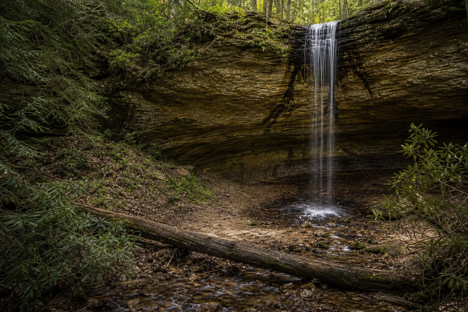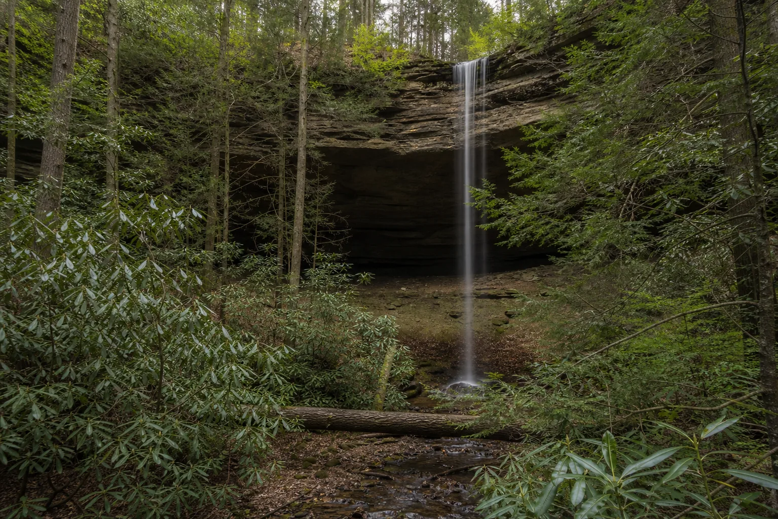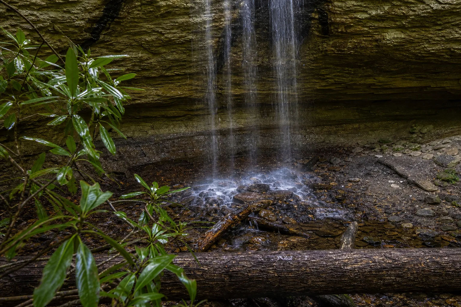
Is Yahoo Falls worth visiting?
Yes. The two best windows are March through May, when snowmelt and spring rains push the creek into a full curtain, and October, when fall color frames the rock shelter and the air is dry enough to keep the walk-behind path clean. Entry to the Yahoo Falls Scenic Area in Daniel Boone National Forest is free year-round, the parking lot is open day-use with no posted gate, and the short loop is roughly a mile round trip from the lot.
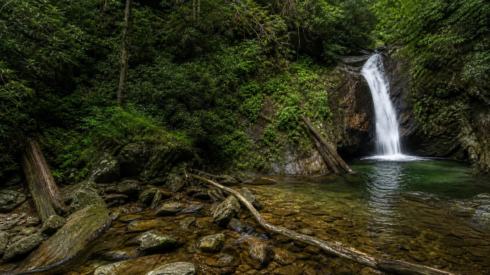
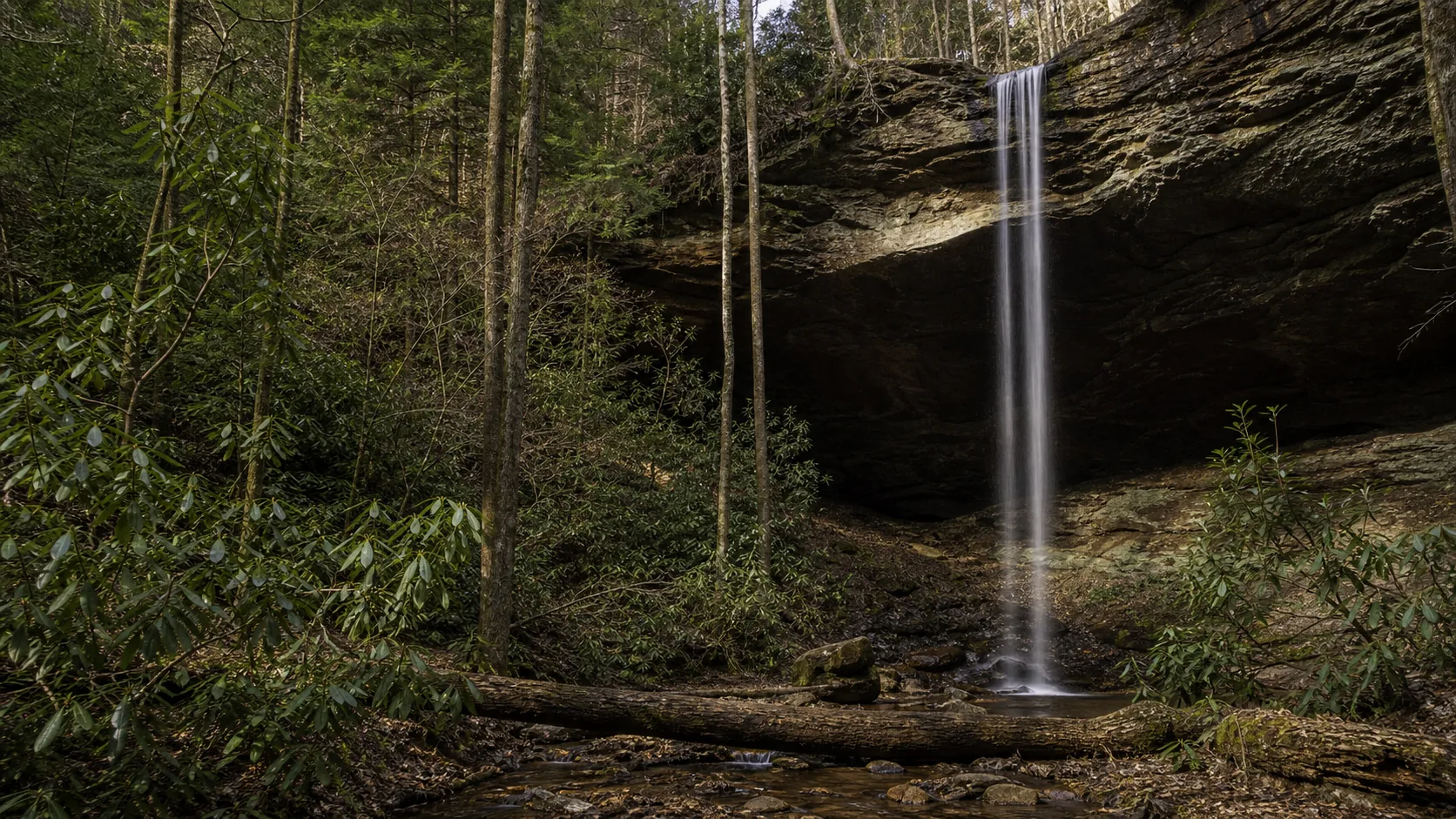
- Kentucky's tallest waterfall, 113 ft
- Sandstone rock-shelter alcove with walk-behind path
- Free USFS scenic area, year-round
- Best flow: March-May; best color: October
- Short loop: 1 mi with stairs
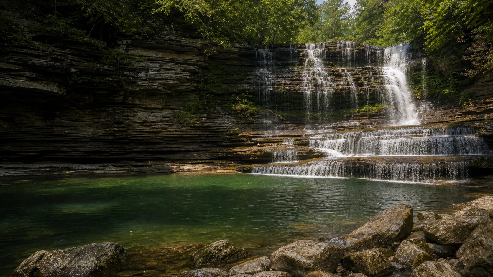
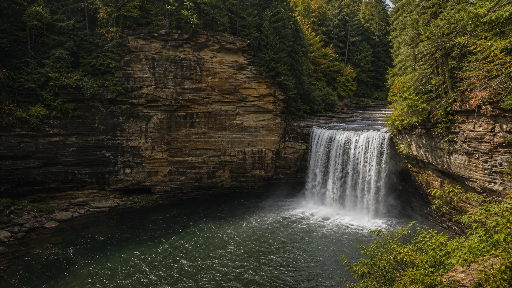
- Pair with Cumberland Falls SP for a Kentucky waterfall day
Last verified May 12, 2026
Visited Desk-verified May 2026 against USFS Daniel Boone NF and Kentucky State Parks sources
9 sources checked