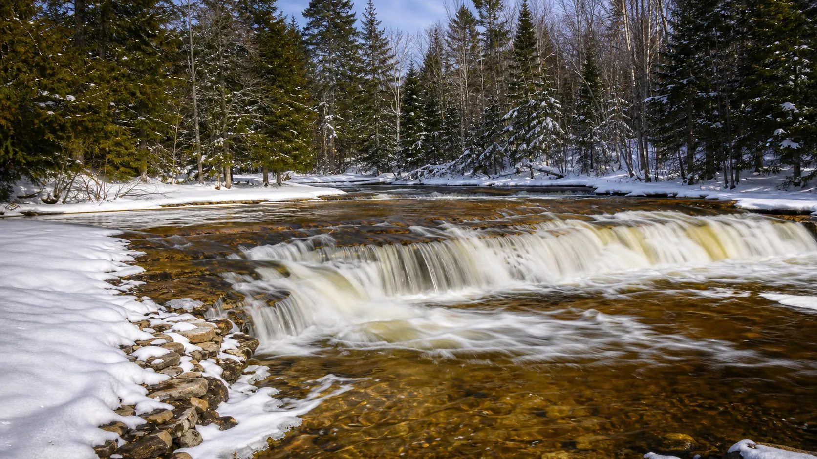
Is Ocqueoc Falls worth visiting?
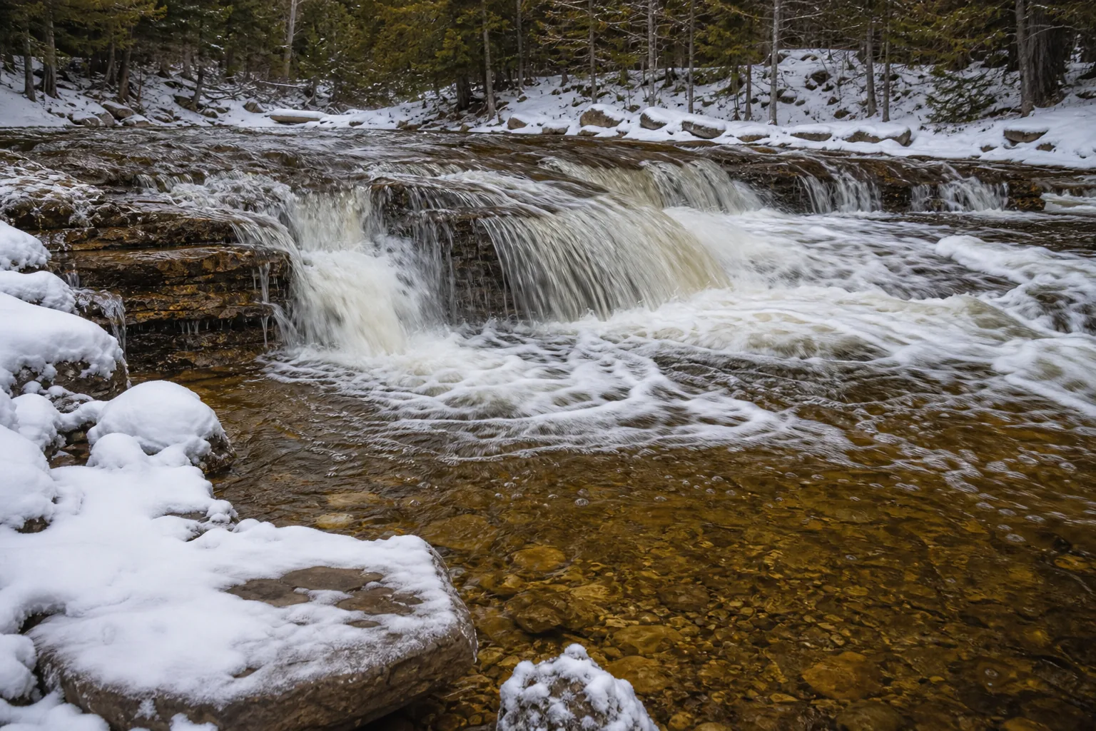
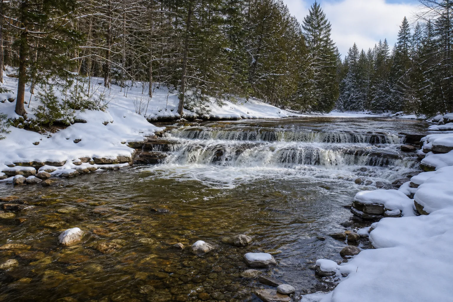
Yes, especially if you want a Lower Peninsula waterfall that works for visitors with mobility needs, families with strollers, or anyone planning a summer swim stop. The site is free, day-use, and open year-round. You will need a Michigan Recreation Passport on your vehicle to use the lot ($13 annual for residents, $14 annual for non-residents, or $9 daily for non-residents). Best windows: late April through May for the heaviest flow, mid-June through August for swimming, and early October for color along the Bicentennial Pathway loops.
- ADA-accessible boardwalk to the falls and pool
- Free entry; Recreation Passport required to park
- Family swim hole in summer
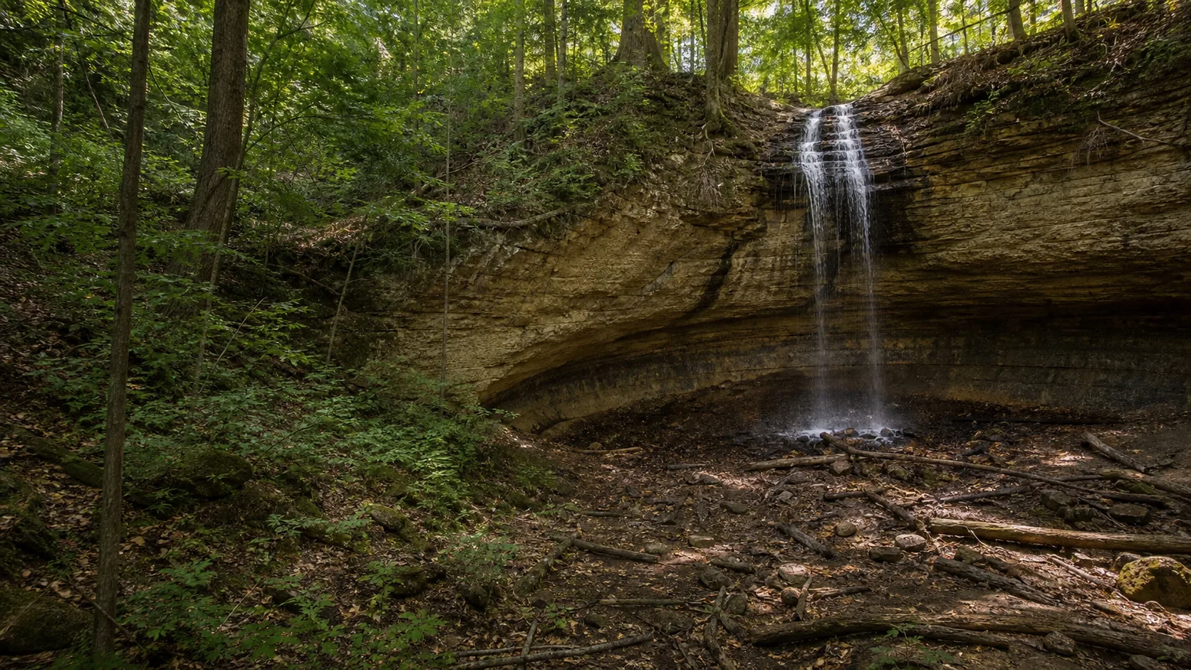
- Largest waterfall in the Lower Peninsula
- 6.3-mile Bicentennial Pathway loop on site
- 11 miles west of Rogers City off M-68
Last verified May 12, 2026
Visited Desk-verified May 2026
8 sources checked