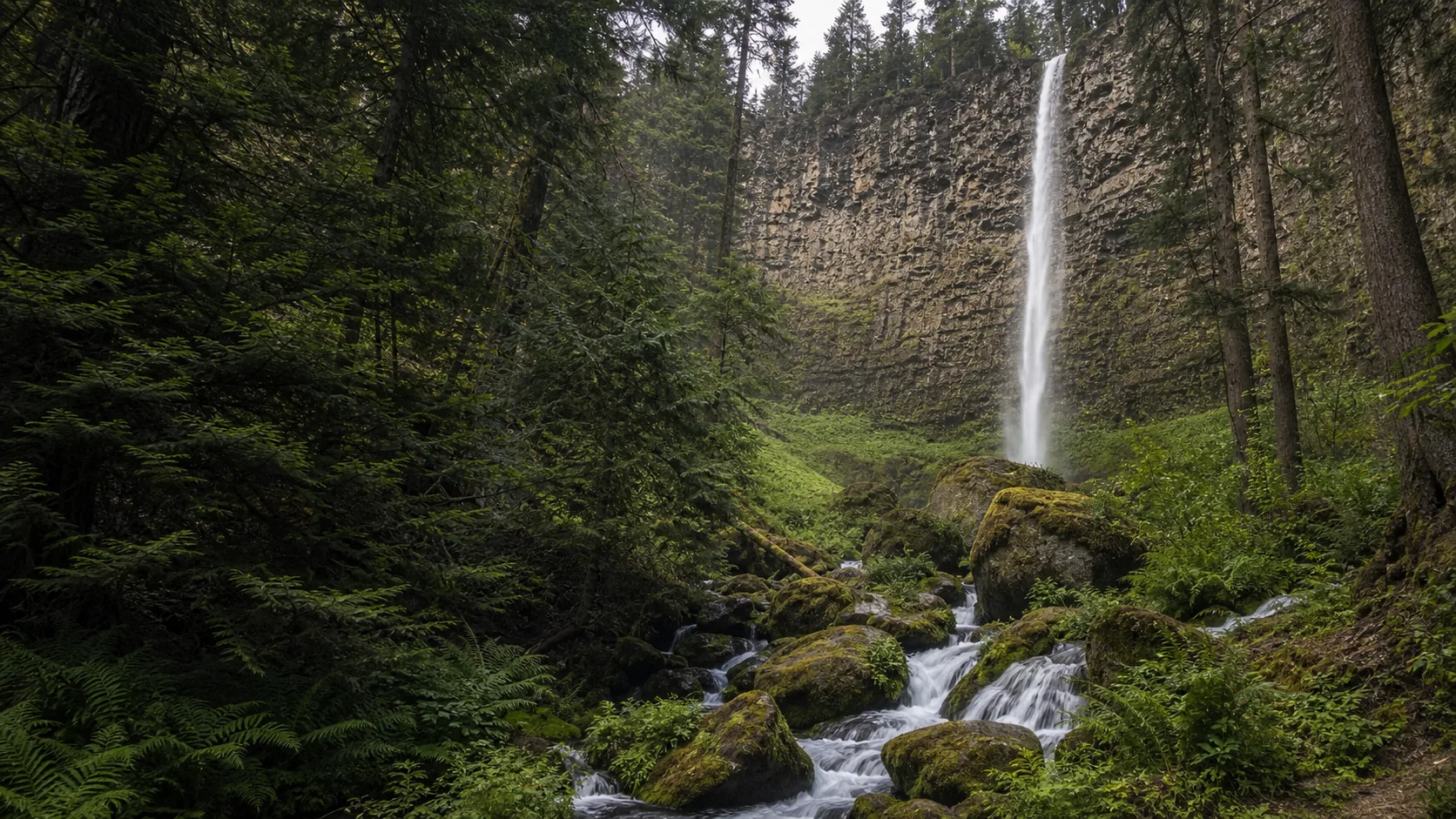
Is Watson Falls worth visiting?
Yes, and the two windows that justify a deliberate trip are May through early June for snowmelt runoff and the first half of October for vine-maple and big-leaf-maple color in the gorge. The trail is short (0.6 mi round trip, about 300 feet of climb), the trailhead requires a NW Forest Pass or an America the Beautiful interagency pass, and the lower viewpoint deck sits in the mist plume from May onward.
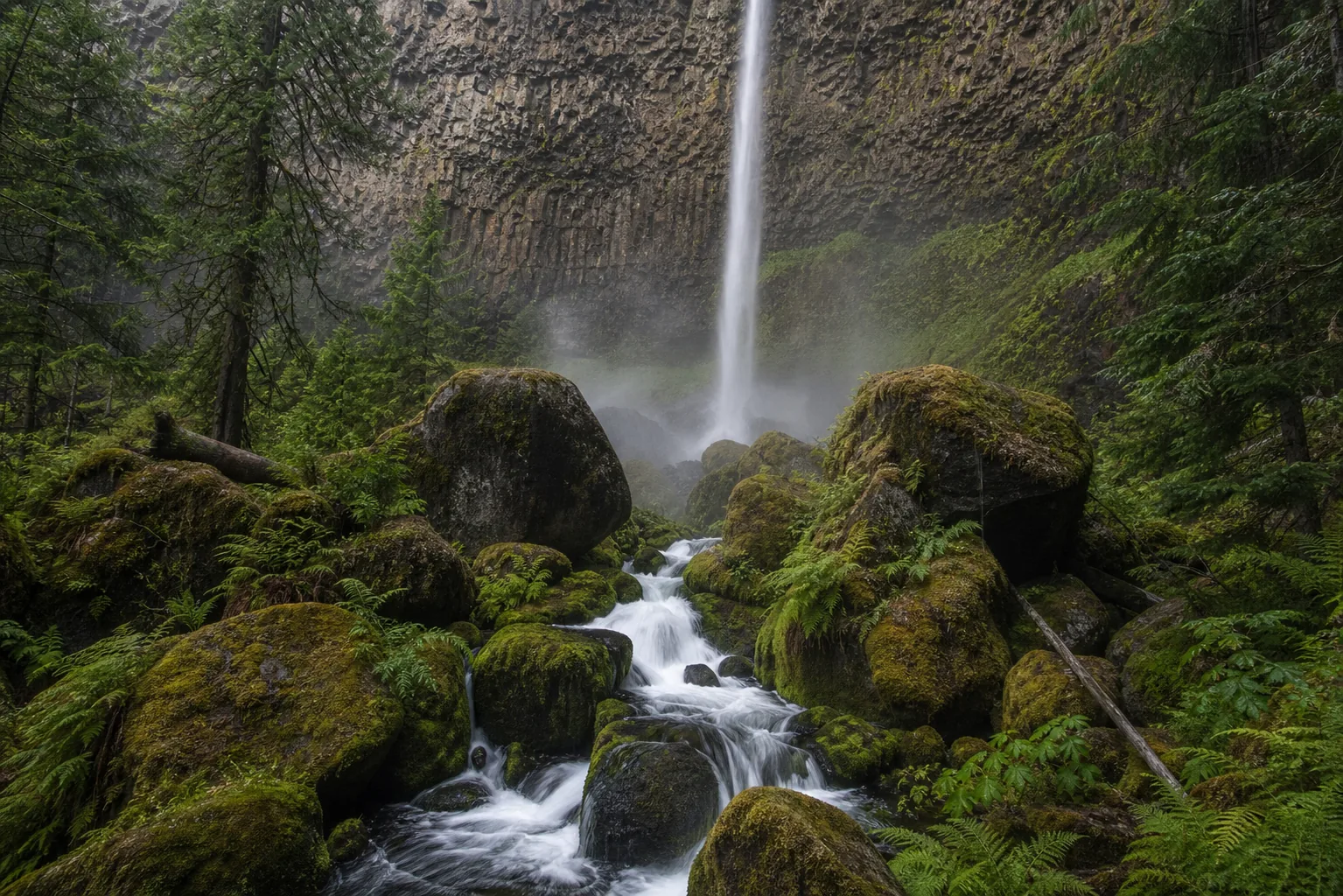
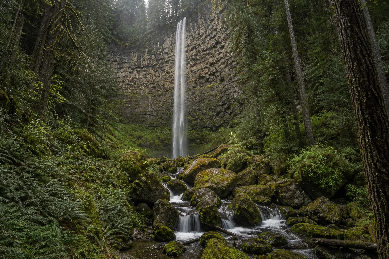
- 272-foot single-tier plunge
- 0.6-mile trail to the lower viewpoint
- NW Forest Pass or America the Beautiful required
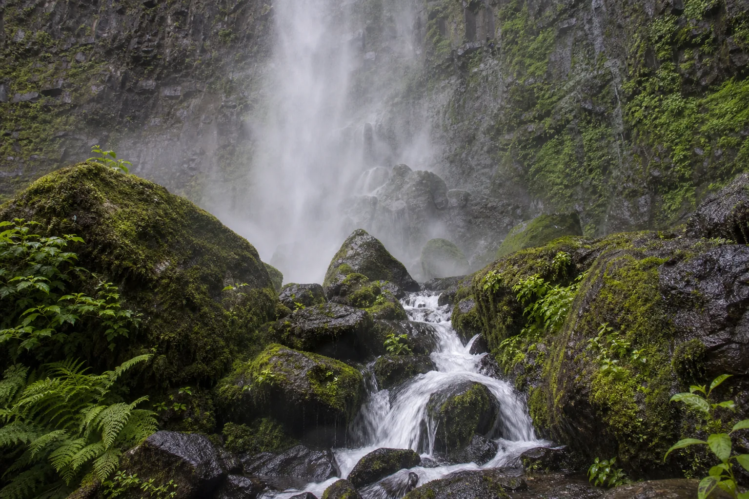
- Wooden footbridge crossing the lower stream
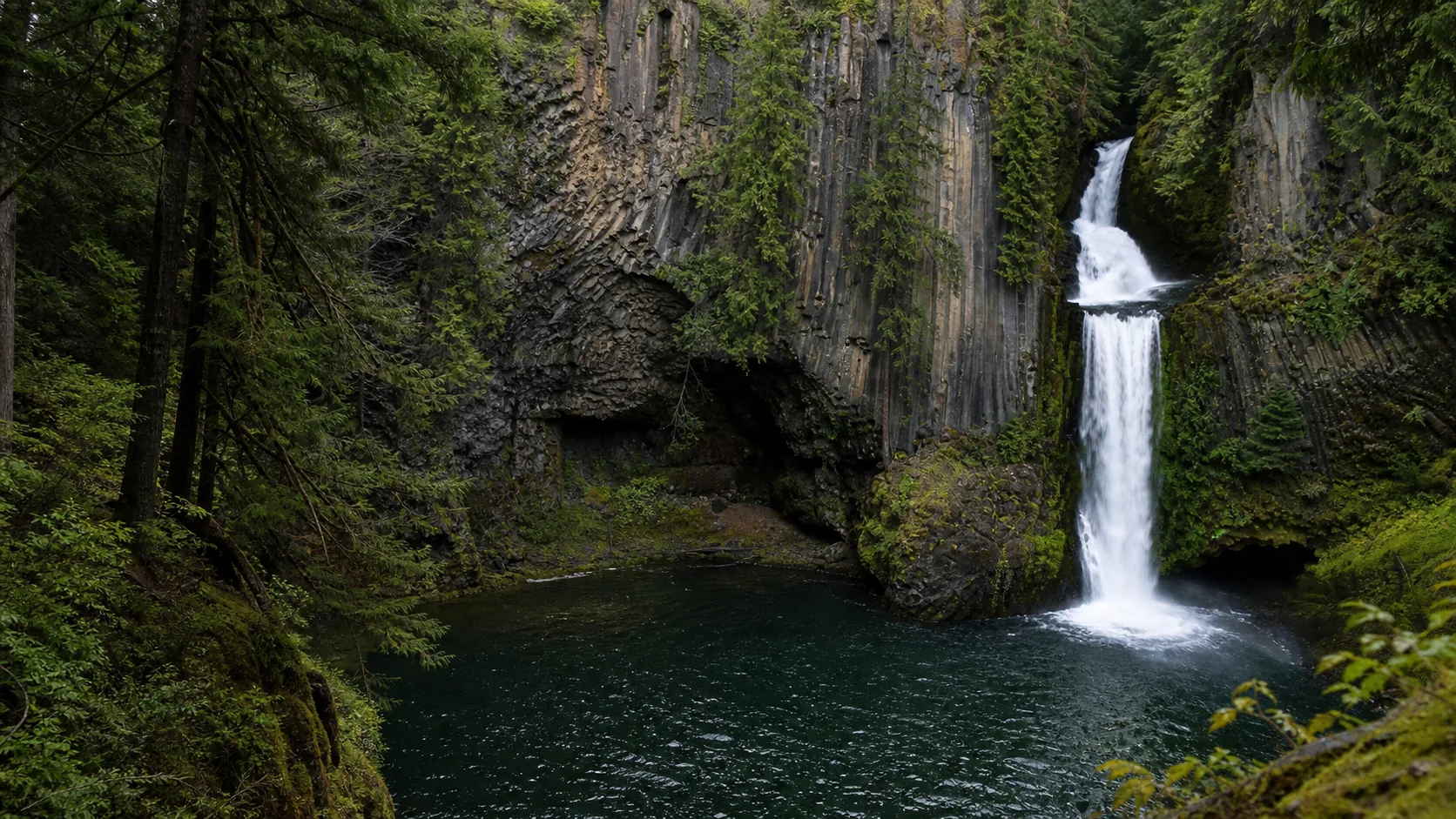
- Pairs with Toketee, Whitehorse, and Clearwater falls
- Peak flow: May - early June
Last verified May 12, 2026
Visited Desk-verified May 2026
8 sources checked