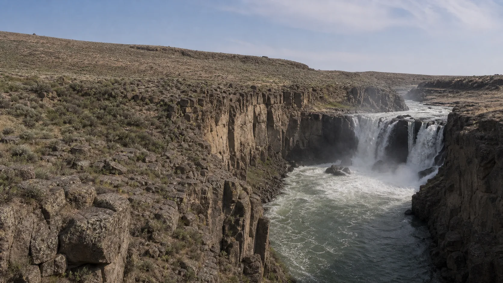
Is White River Falls worth visiting?
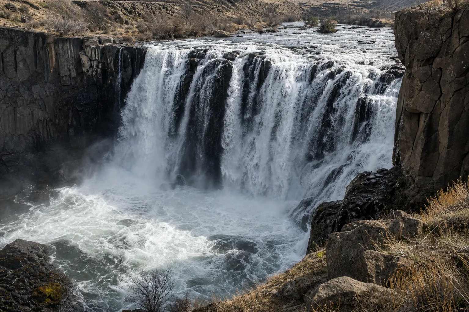
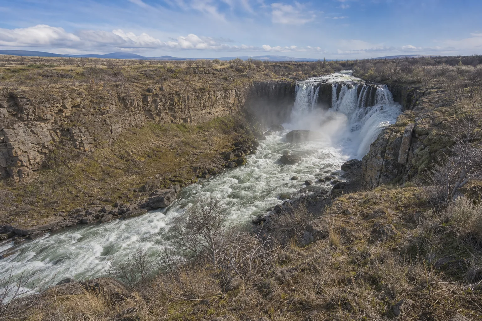
Yes, with one timing constraint: the entry road gate is closed from roughly mid-October through late April, so plan a visit between late April and mid-October. June is peak flow as Mount Hood's glaciers melt and the water runs whitest with suspended ash. The park is free, no Oregon State Parks pass needed, and the gravel road is passable in a standard car.
- Free park, no pass required
- Gate open late April through mid-October
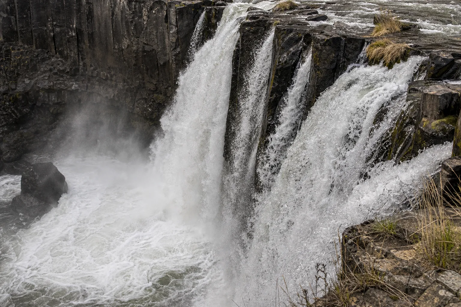
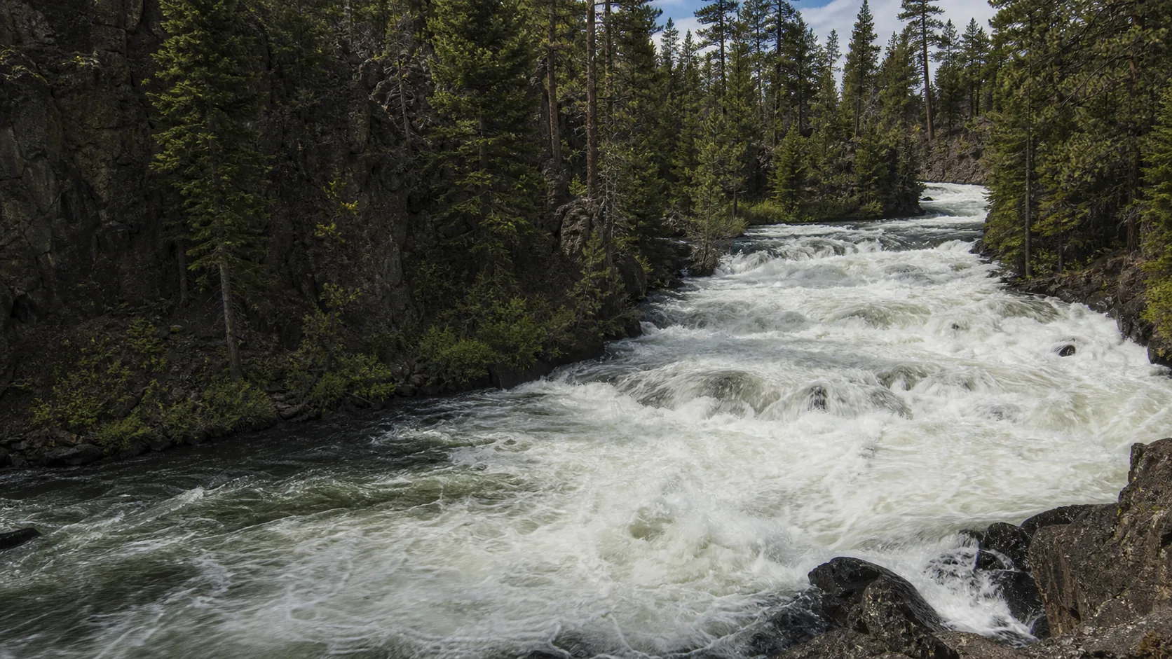
- Peak flow late May through June (Mt Hood glacial melt)
- Paved 100-yard walk to the upper overlook
- 0.7-mile steep spur to the 1910 powerhouse ruins
- Pair with Maupin or The Dalles for food and lodging
Last verified May 12, 2026
Visited Desk-verified May 2026
8 sources checked