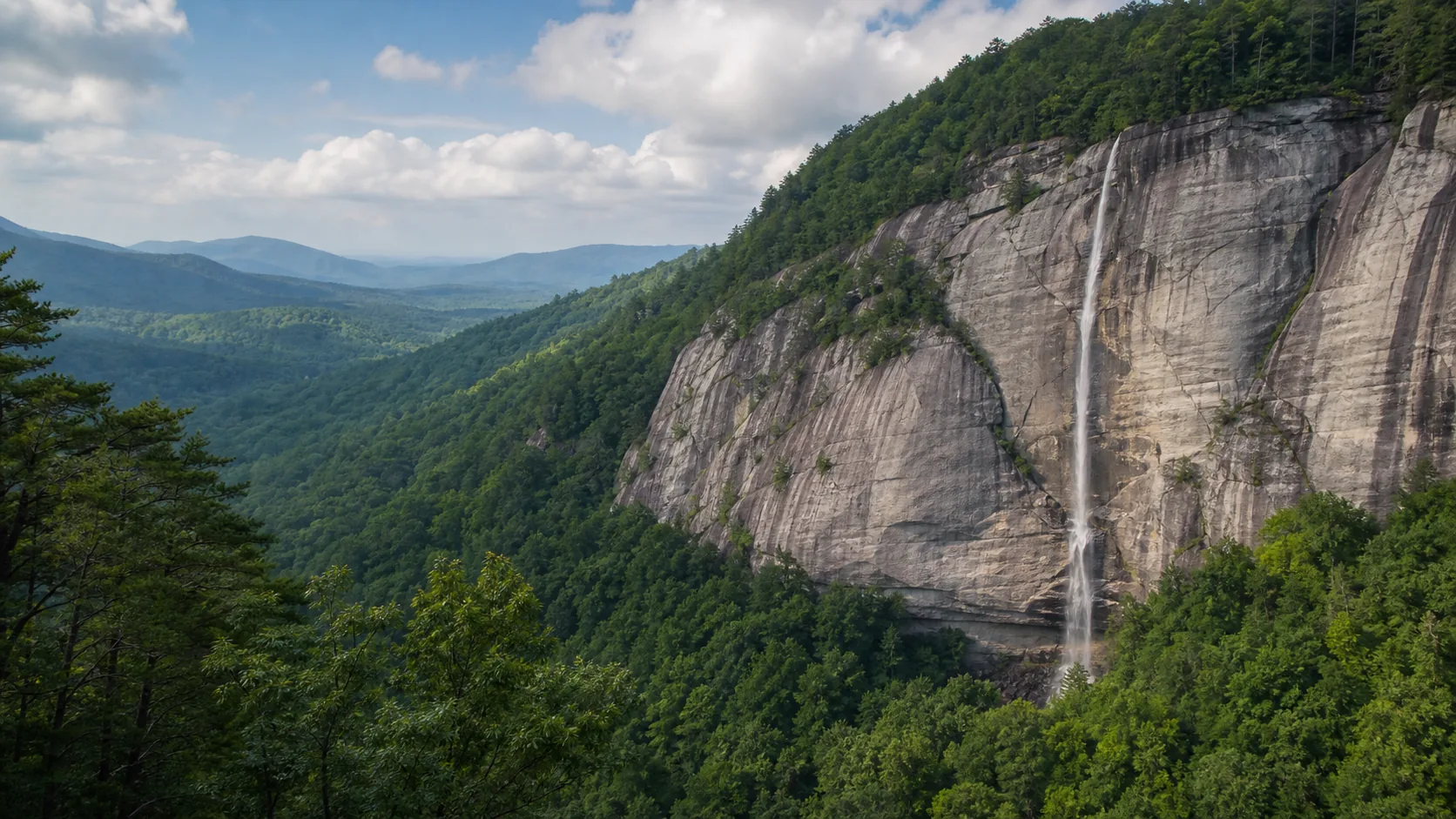
Is Courthouse Falls worth visiting?
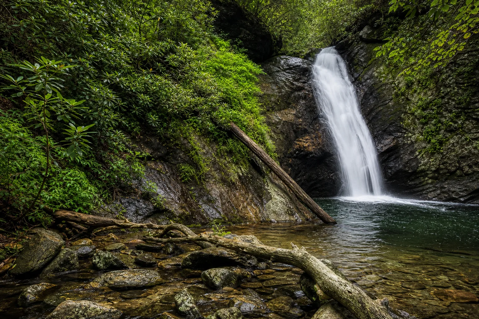
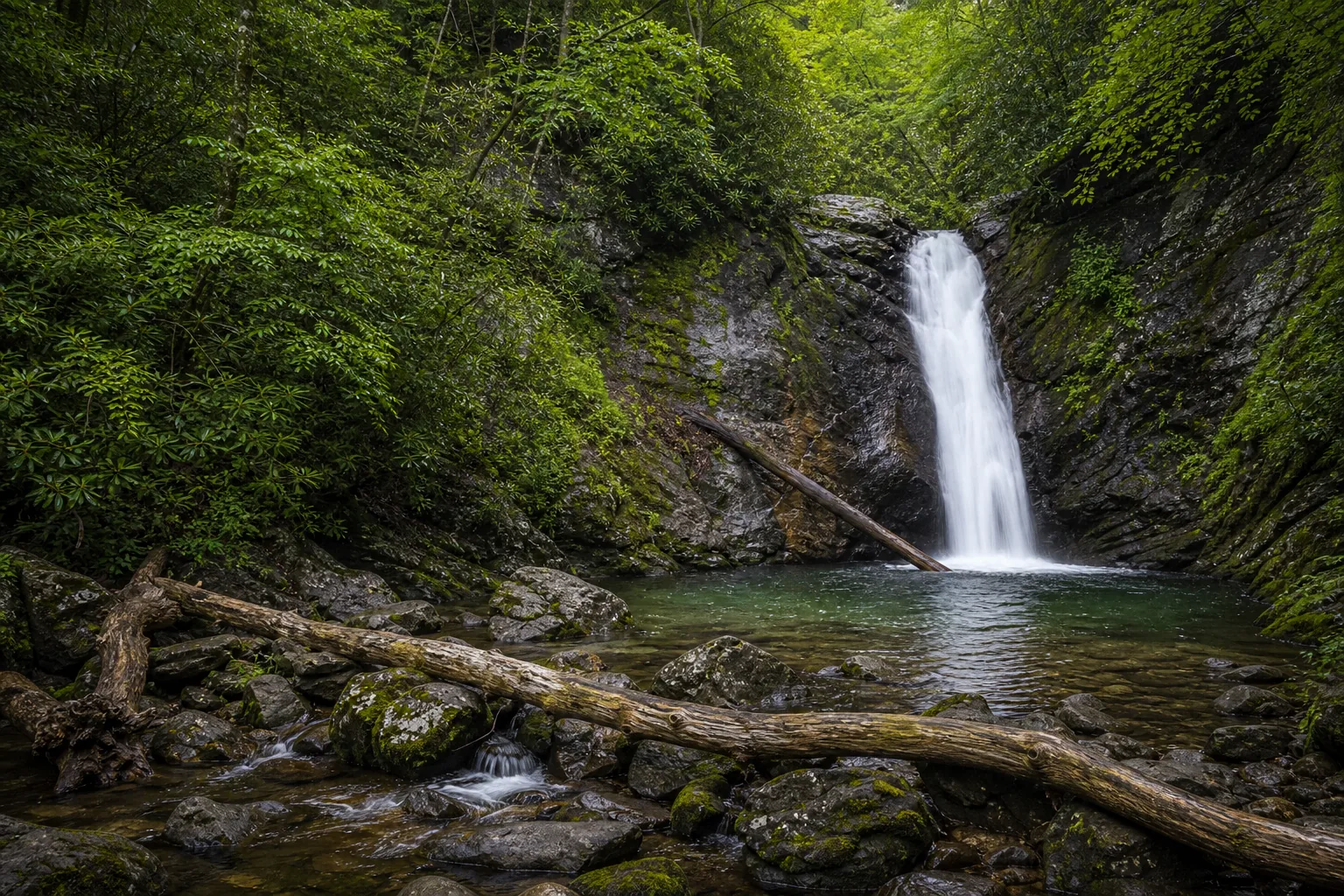
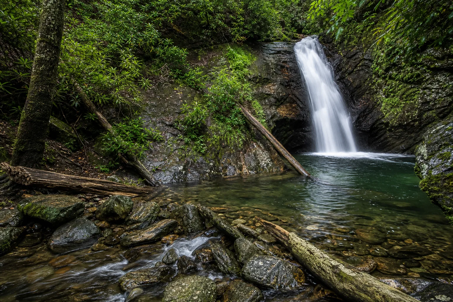
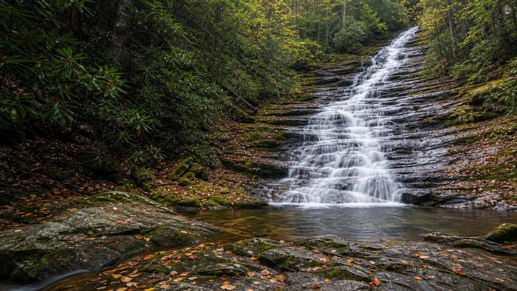
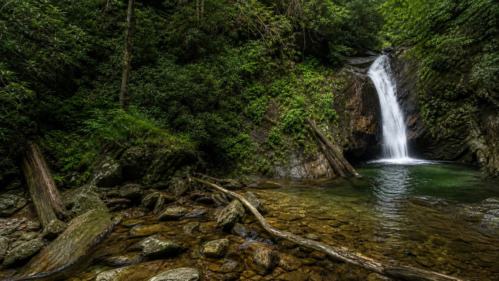
Yes. The two windows that justify the drive are March through May, when snowmelt and spring rain push the chute into a full curtain, and October, when the gorge fills with hardwood color and the flow holds up after the first cold-front rains. Late summer can drop to a thin ribbon. The trail is 0.8 mi round trip with a short, slick spur down to the base, and the plunge pool is one of the few in the Pisgah corridor where swimming is informally tolerated by visitors who respect the hydraulic at the base.
- 45-foot plunge into a turquoise pool
- Cathedral-like rock amphitheater
- 0.8 mi out-and-back from FR 140
- Peak flow: Mar to May and October
- Free; no fee, no pass
- Cold, deep pool; respect the hydraulic
Last verified May 12, 2026
Visited Desk-verified May 2026
7 sources checked