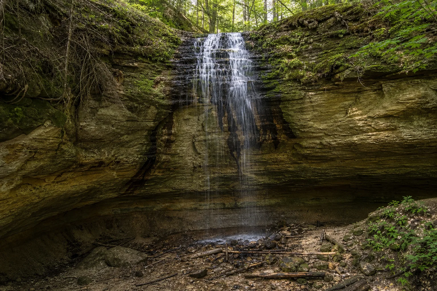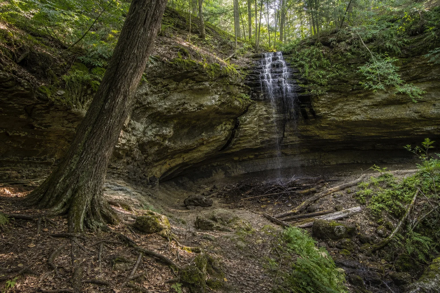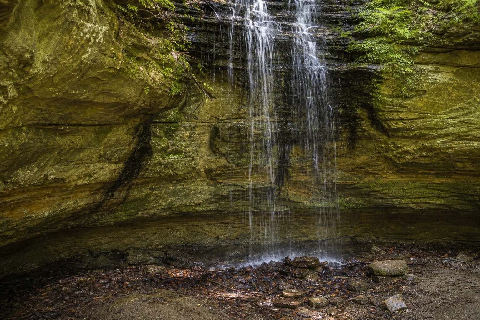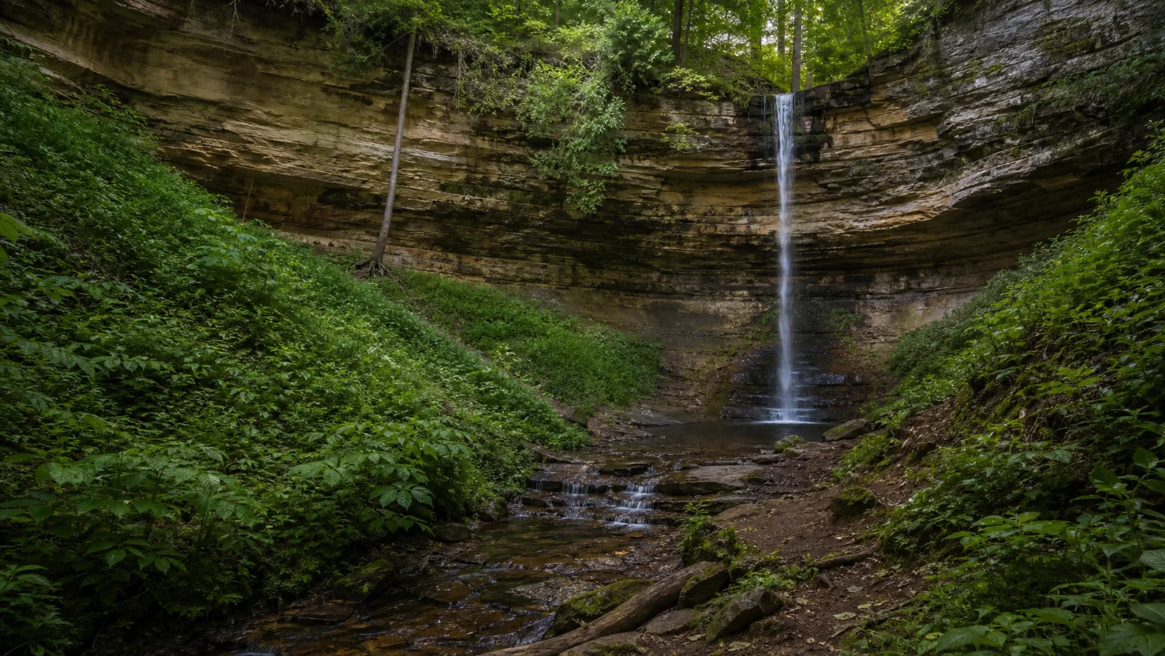
Is Tannery Falls worth visiting?
Yes. It is short (about 0.4 miles round trip from a free city park trailhead), free, walkable from downtown Munising, and pairs with Munising Falls and Memorial Falls for an in-town waterfall trio that takes about 60 to 90 minutes on foot. Peak windows are late April through May for spring runoff and late January through mid-February when the curtain forms an ice column.
- Walkable from downtown Munising
- Short 0.4 mi out-and-back from the city park
- Peak flow: late Apr through May
- Pairs with Memorial and Munising Falls
- Ice column: late Jan through mid-Feb
- Free; no Pictured Rocks pass required
Last verified May 12, 2026
Visited Desk-verified May 2026
6 sources checked